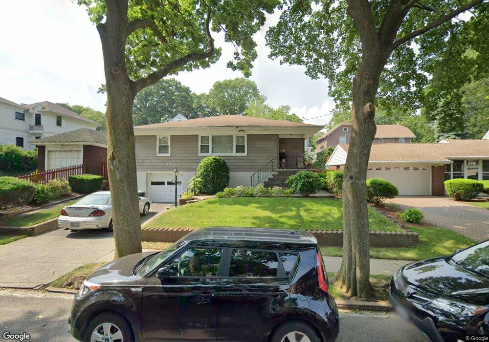
15 Macfarland Ave Unit A Staten Island, NY 10305
South Beach NeighborhoodEstimated Value: $725,000 - $827,000
--
Bed
4
Baths
880
Sq Ft
$861/Sq Ft
Est. Value
About This Home
This home is located at 15 Macfarland Ave Unit A, Staten Island, NY 10305 and is currently estimated at $757,279, approximately $860 per square foot. 15 Macfarland Ave Unit A is a home located in Richmond County with nearby schools including P.S. 39 The Francis J. Murphy Jr. School, I.S. 49 Berta A Dreyfus, and Curtis High School.
Ownership History
Date
Name
Owned For
Owner Type
Purchase Details
Closed on
Apr 1, 2024
Sold by
Cenci Irrevocable Trust and Cenci Paula A
Bought by
Sadiku Merins and Graziano Victoria
Current Estimated Value
Home Financials for this Owner
Home Financials are based on the most recent Mortgage that was taken out on this home.
Original Mortgage
$560,000
Outstanding Balance
$551,728
Interest Rate
6.94%
Mortgage Type
New Conventional
Estimated Equity
$205,551
Purchase Details
Closed on
Jun 17, 2009
Sold by
Cenci Victor and Cenci Theresa J
Bought by
Cenci Paula A and Cenci Victor S
Create a Home Valuation Report for This Property
The Home Valuation Report is an in-depth analysis detailing your home's value as well as a comparison with similar homes in the area
Home Values in the Area
Average Home Value in this Area
Purchase History
| Date | Buyer | Sale Price | Title Company |
|---|---|---|---|
| Sadiku Merins | $700,000 | None Listed On Document | |
| Cenci Paula A | -- | None Available |
Source: Public Records
Mortgage History
| Date | Status | Borrower | Loan Amount |
|---|---|---|---|
| Open | Sadiku Merins | $560,000 |
Source: Public Records
Tax History Compared to Growth
Tax History
| Year | Tax Paid | Tax Assessment Tax Assessment Total Assessment is a certain percentage of the fair market value that is determined by local assessors to be the total taxable value of land and additions on the property. | Land | Improvement |
|---|---|---|---|---|
| 2025 | $4,361 | $42,420 | $7,108 | $35,312 |
| 2024 | $5,702 | $38,820 | $7,328 | $31,492 |
| 2023 | $4,196 | $26,784 | $5,893 | $20,891 |
| 2022 | $4,113 | $39,900 | $10,020 | $29,880 |
| 2021 | $4,277 | $37,920 | $10,020 | $27,900 |
| 2020 | $4,040 | $34,740 | $10,020 | $24,720 |
| 2019 | $3,688 | $35,280 | $10,020 | $25,260 |
| 2017 | $3,619 | $22,320 | $7,425 | $14,895 |
| 2016 | $3,525 | $22,151 | $8,077 | $14,074 |
| 2015 | $2,941 | $20,898 | $7,373 | $13,525 |
| 2014 | $2,941 | $19,716 | $7,367 | $12,349 |
Source: Public Records
Map
Nearby Homes
- 10 Florida Ave
- 26 Conger St
- 27 Conger St
- 146 Cedar Ave
- 72 Sand Ln
- 154 Sand Ln
- 71 Windom Ave
- 53 Piave Ave
- 26 Guilford St
- 799 Hylan Blvd
- 785 Hylan Blvd
- 21 Father Capodanno Blvd
- 19 Father Capodanno Blvd
- 26 Robin Rd
- 233 Sand Ln
- 603 W Fingerboard Rd
- 98 Dogwood Ln Unit 239
- 14 Ragazzi Ln
- 32 Linda Ave Unit 68
- 30 Beverly Rd
- 15 Macfarland Ave
- 154 Major Ave
- 160 Major Ave
- 166 Macfarland Ave
- 166 Major Ave
- 148 Major Ave
- 31 Macfarland Ave
- 14 Macfarland Ave
- 8 Macfarland Ave
- 104 Hastings St
- 18 Macfarland Ave
- 170 Major Ave
- 22 Macfarland Ave
- 35 Macfarland Ave
- 100-104 Hastings St
- 100 Hastings St Unit 104
- 28 Macfarland Ave
- 28 Macfarland Ave Unit 2
- 184 Major Ave
- 89 Hastings St