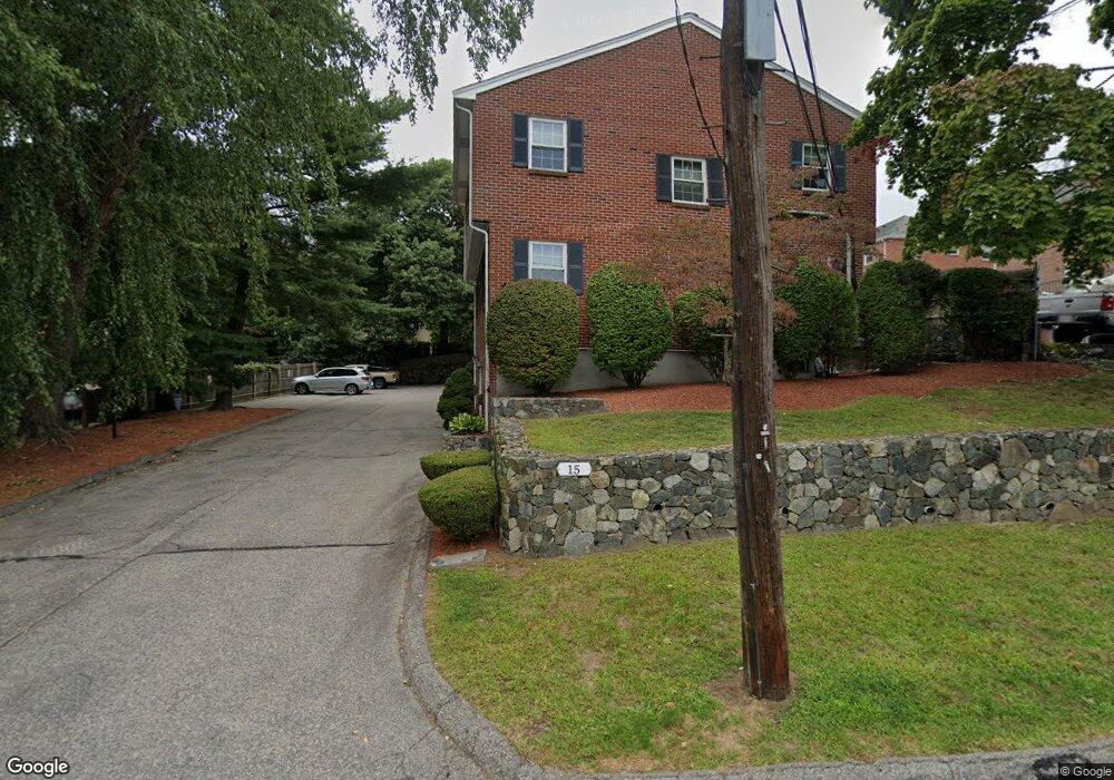
15 Manning Rd Unit 4 Waltham, MA 02452
North Waltham NeighborhoodEstimated Value: $821,000 - $1,327,000
2
Beds
3
Baths
1,931
Sq Ft
$497/Sq Ft
Est. Value
About This Home
This home is located at 15 Manning Rd Unit 4, Waltham, MA 02452 and is currently estimated at $959,214, approximately $496 per square foot. 15 Manning Rd Unit 4 is a home located in Middlesex County with nearby schools including Northeast Elementary School, John F Kennedy Middle School, and Waltham Sr High School.
Ownership History
Date
Name
Owned For
Owner Type
Purchase Details
Closed on
Sep 17, 2013
Sold by
Drew Rt
Bought by
Zamsky Andrew
Current Estimated Value
Home Financials for this Owner
Home Financials are based on the most recent Mortgage that was taken out on this home.
Original Mortgage
$286,400
Outstanding Balance
$210,293
Interest Rate
4%
Mortgage Type
New Conventional
Estimated Equity
$748,921
Create a Home Valuation Report for This Property
The Home Valuation Report is an in-depth analysis detailing your home's value as well as a comparison with similar homes in the area
Home Values in the Area
Average Home Value in this Area
Purchase History
| Date | Buyer | Sale Price | Title Company |
|---|---|---|---|
| Zamsky Andrew | $358,000 | -- |
Source: Public Records
Mortgage History
| Date | Status | Borrower | Loan Amount |
|---|---|---|---|
| Open | Zamsky Andrew | $286,400 |
Source: Public Records
Tax History Compared to Growth
Tax History
| Year | Tax Paid | Tax Assessment Tax Assessment Total Assessment is a certain percentage of the fair market value that is determined by local assessors to be the total taxable value of land and additions on the property. | Land | Improvement |
|---|---|---|---|---|
| 2025 | $7,190 | $732,200 | $0 | $732,200 |
| 2024 | $6,894 | $715,100 | $0 | $715,100 |
| 2023 | $7,134 | $691,300 | $0 | $691,300 |
| 2022 | $7,494 | $672,700 | $0 | $672,700 |
| 2021 | $7,193 | $635,400 | $0 | $635,400 |
| 2020 | $7,285 | $609,600 | $0 | $609,600 |
| 2019 | $6,617 | $522,700 | $0 | $522,700 |
| 2018 | $4,773 | $378,500 | $0 | $378,500 |
| 2017 | $4,754 | $378,500 | $0 | $378,500 |
| 2016 | $4,633 | $378,500 | $0 | $378,500 |
| 2015 | $4,078 | $310,600 | $0 | $310,600 |
Source: Public Records
Map
Nearby Homes
- 100 Shirley Rd
- 26 Brookfield Rd
- 45 Chase Rd
- 51 S Cottage Rd Unit 112
- 9 Stanley Rd
- 50 Moraine St
- 51 Harrington St Unit 51
- 51 Harrington St Unit 53
- 253 Sycamore St Unit 253
- 1 Bridgham Ave
- 55-57 Hawthorne St
- 57 Pierce Rd Unit 57
- 160 Waverley St
- 266 Linden St
- 34 Cedar Hill Ln
- 70 Rosewood Dr
- 28 Whitney St
- 72-74 Flett Rd
- 88 Bartlett Ave
- 78 Barbara Rd Unit 1
- 15 Manning Rd Unit D
- 15 Manning Rd Unit 5
- 15 Manning Rd Unit 3
- 15 Manning Rd Unit 2
- 15 Manning Rd Unit 1
- 15 Manning Rd
- 15 Manning Rd Unit A
- 15 Manning Rd Unit C
- 15 Manning Rd Unit E
- 21 Manning Rd
- 100 Trapelo Rd Unit 1
- 100 Trapelo Rd
- 100 Trapelo Rd Unit 3
- 100 Trapelo Rd Unit 5
- 100 Trapelo Rd Unit 4
- 106-110 Trapelo Rd
- 100 Trapelo Rd Unit 5
- 100 Trapelo Rd
- 100 Trapelo Rd Unit 3
- 110 Trapelo Rd Unit 1