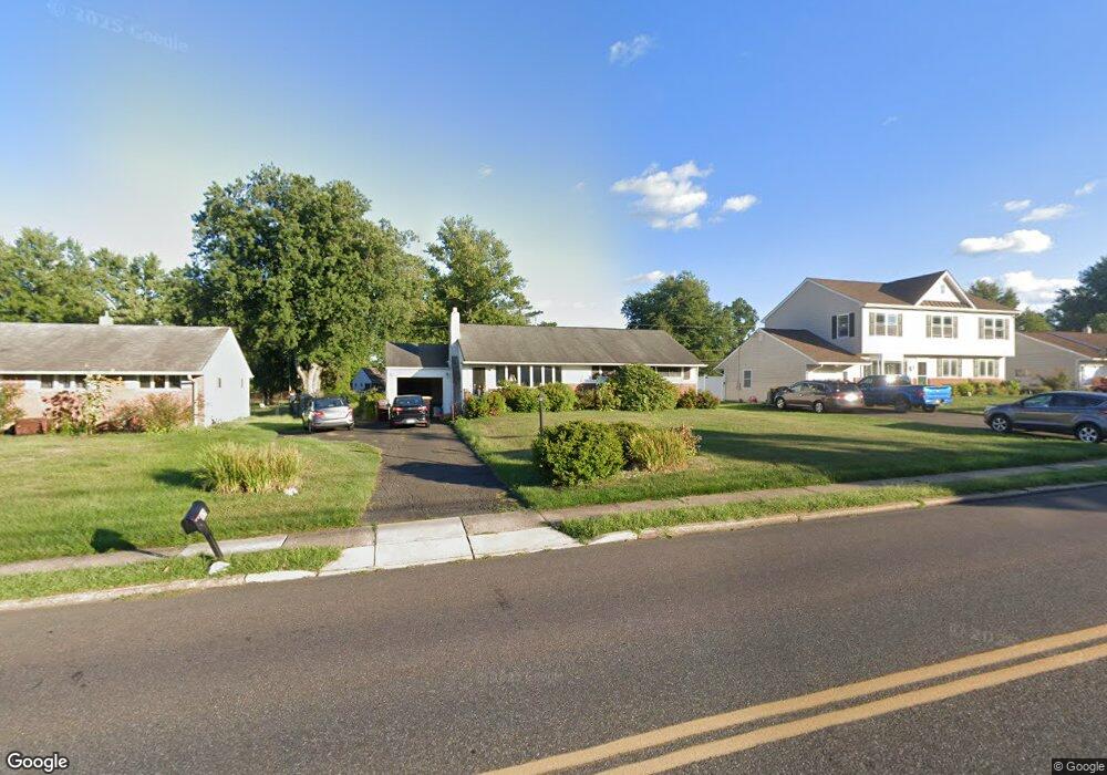
15 Maple Ave Hatboro, PA 19040
Estimated Value: $425,000 - $482,000
4
Beds
2
Baths
1,831
Sq Ft
$251/Sq Ft
Est. Value
About This Home
This home is located at 15 Maple Ave, Hatboro, PA 19040 and is currently estimated at $460,253, approximately $251 per square foot. 15 Maple Ave is a home located in Montgomery County with nearby schools including Hallowell Elementary School, Keith Valley Middle School, and Hatboro-Horsham Senior High School.
Ownership History
Date
Name
Owned For
Owner Type
Purchase Details
Closed on
Oct 11, 2011
Sold by
Pancoast Scott Carl and Pancoast Kristina Lynn
Bought by
Pancoast Scott Carl
Current Estimated Value
Home Financials for this Owner
Home Financials are based on the most recent Mortgage that was taken out on this home.
Original Mortgage
$175,000
Interest Rate
4.11%
Purchase Details
Closed on
Aug 6, 2009
Sold by
Pancoast Mary Jane
Bought by
Pancoast Scott Carl and Pancoast Kristina Lynn
Home Financials for this Owner
Home Financials are based on the most recent Mortgage that was taken out on this home.
Original Mortgage
$128,000
Interest Rate
5.19%
Create a Home Valuation Report for This Property
The Home Valuation Report is an in-depth analysis detailing your home's value as well as a comparison with similar homes in the area
Home Values in the Area
Average Home Value in this Area
Purchase History
| Date | Buyer | Sale Price | Title Company |
|---|---|---|---|
| Pancoast Scott Carl | -- | None Available | |
| Pancoast Scott Carl | $160,000 | None Available |
Source: Public Records
Mortgage History
| Date | Status | Borrower | Loan Amount |
|---|---|---|---|
| Closed | Pancoast Scott Carl | $175,000 | |
| Closed | Pancoast Scott Carl | $128,000 |
Source: Public Records
Tax History Compared to Growth
Tax History
| Year | Tax Paid | Tax Assessment Tax Assessment Total Assessment is a certain percentage of the fair market value that is determined by local assessors to be the total taxable value of land and additions on the property. | Land | Improvement |
|---|---|---|---|---|
| 2025 | $5,663 | $144,070 | $48,640 | $95,430 |
| 2024 | $5,663 | $144,070 | $48,640 | $95,430 |
| 2023 | $5,390 | $144,070 | $48,640 | $95,430 |
| 2022 | $5,216 | $144,070 | $48,640 | $95,430 |
| 2021 | $5,092 | $144,070 | $48,640 | $95,430 |
| 2020 | $4,972 | $144,070 | $48,640 | $95,430 |
| 2019 | $4,877 | $144,070 | $48,640 | $95,430 |
| 2018 | $3,844 | $144,070 | $48,640 | $95,430 |
| 2017 | $4,659 | $144,070 | $48,640 | $95,430 |
| 2016 | $4,602 | $144,070 | $48,640 | $95,430 |
| 2015 | $4,395 | $144,070 | $48,640 | $95,430 |
| 2014 | $4,395 | $144,070 | $48,640 | $95,430 |
Source: Public Records
Map
Nearby Homes
- 416 Aspen Ln
- 1130 Victoria Rd
- 1002 Windsor Rd
- 1277 Beverly Rd
- Faraday Plan at Liberty Ridge
- Westmont Plan at Liberty Ridge
- Northbrook Plan at Liberty Ridge
- 604 Liberty Ridge Rd
- 603 Liberty Ridge Rd
- 605 Liberty Ridge Rd
- 607 Liberty Ridge Rd
- 616 Liberty Ridge Rd
- 611 Liberty Ridge Rd
- 204 Wilson Ave
- 414 Watson Ave
- 13 Eagle Ct
- 236 Oak Hill Dr
- 125 Meetinghouse Rd
- 10 Eagle Ct
- 890 Easton Rd