15 Marion St Unit A Roslindale, MA 02131
Roslindale NeighborhoodEstimated Value: $430,306 - $504,000
2
Beds
2
Baths
1,074
Sq Ft
$444/Sq Ft
Est. Value
About This Home
This home is located at 15 Marion St Unit A, Roslindale, MA 02131 and is currently estimated at $476,577, approximately $443 per square foot. 15 Marion St Unit A is a home located in Suffolk County with nearby schools including Brooke Charter School Roslindale, Sacred Heart STEM School, and St. Clare High School.
Ownership History
Date
Name
Owned For
Owner Type
Purchase Details
Closed on
Dec 31, 1992
Sold by
Vargas Xenia I
Bought by
Harris Ruby N
Current Estimated Value
Home Financials for this Owner
Home Financials are based on the most recent Mortgage that was taken out on this home.
Original Mortgage
$43,500
Interest Rate
8.32%
Mortgage Type
Purchase Money Mortgage
Purchase Details
Closed on
May 1, 1992
Sold by
Citicorp Mtg Inc
Bought by
Vargas Xenia I
Home Financials for this Owner
Home Financials are based on the most recent Mortgage that was taken out on this home.
Original Mortgage
$41,800
Interest Rate
8.96%
Mortgage Type
Purchase Money Mortgage
Purchase Details
Closed on
Jan 15, 1992
Sold by
Mcdonough Kevin A
Bought by
Citicorp Mtg Inc
Create a Home Valuation Report for This Property
The Home Valuation Report is an in-depth analysis detailing your home's value as well as a comparison with similar homes in the area
Home Values in the Area
Average Home Value in this Area
Purchase History
| Date | Buyer | Sale Price | Title Company |
|---|---|---|---|
| Harris Ruby N | $58,000 | -- | |
| Vargas Xenia I | $44,000 | -- | |
| Citicorp Mtg Inc | $50,400 | -- |
Source: Public Records
Mortgage History
| Date | Status | Borrower | Loan Amount |
|---|---|---|---|
| Closed | Citicorp Mtg Inc | $43,500 | |
| Previous Owner | Citicorp Mtg Inc | $41,800 |
Source: Public Records
Tax History Compared to Growth
Tax History
| Year | Tax Paid | Tax Assessment Tax Assessment Total Assessment is a certain percentage of the fair market value that is determined by local assessors to be the total taxable value of land and additions on the property. | Land | Improvement |
|---|---|---|---|---|
| 2025 | $3,033 | $261,900 | $0 | $261,900 |
| 2024 | $2,939 | $269,600 | $0 | $269,600 |
| 2023 | $2,756 | $256,600 | $0 | $256,600 |
| 2022 | $2,609 | $239,800 | $0 | $239,800 |
| 2021 | $2,391 | $224,100 | $0 | $224,100 |
| 2020 | $2,148 | $203,400 | $0 | $203,400 |
| 2019 | $2,042 | $193,700 | $0 | $193,700 |
| 2018 | $2,030 | $193,700 | $0 | $193,700 |
| 2017 | $1,953 | $184,400 | $0 | $184,400 |
| 2016 | $1,845 | $167,700 | $0 | $167,700 |
| 2015 | $2,305 | $190,300 | $0 | $190,300 |
| 2014 | $2,235 | $177,700 | $0 | $177,700 |
Source: Public Records
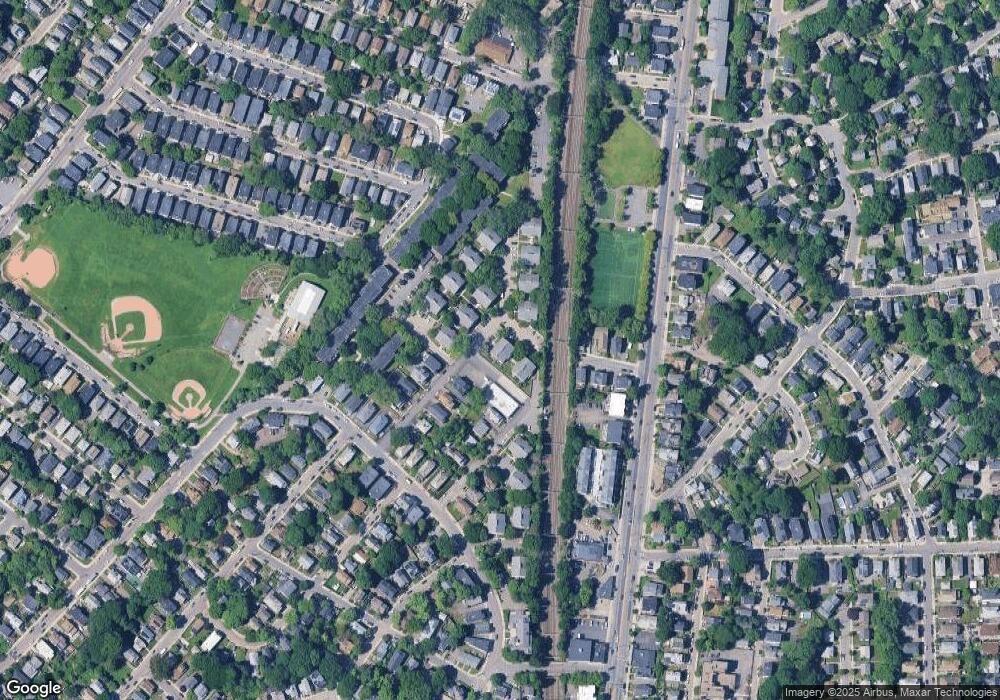
Map
Nearby Homes
- 187 Florence St Unit 2L
- 348-350 Hyde Park Ave Unit 2
- 36 Neponset Ave Unit 1
- 108 Florence St Unit 3
- 108 Florence St Unit 1
- 108 Florence St Unit 4
- 32 Jewett St
- 173 Brookway Rd
- 50 Southbourne Rd
- 18-20 Northbourne Rd Unit 18
- 19 Delford St
- 19 Delford St Unit 1
- 4012 Washington St
- 4031 Washington St
- 27 Rowe St
- 620 South St
- 105 Neponset Ave Unit 105
- 103-105 Neponset Ave
- 103 Neponset Ave Unit 103A
- 24 Waterman Rd
- 15 Marion St Unit F
- 15 Marion St Unit E
- 15 Marion St Unit D
- 15 Marion St Unit C
- 15 Marion St Unit B
- 25 Harrison St Unit F
- 25 Harrison St Unit E
- 25 Harrison St Unit D
- 25 Harrison St Unit C
- 25 Harrison St Unit B
- 25 Harrison St Unit A
- 41 Harrison St Unit F
- 41 Harrison St Unit E
- 41 Harrison St Unit D
- 41 Harrison St Unit C
- 41 Harrison St Unit B
- 41 Harrison St Unit A
- 41 Harrison St Unit 13-E,41
- 41 Harrison St Unit AA
- 41 Harrison St