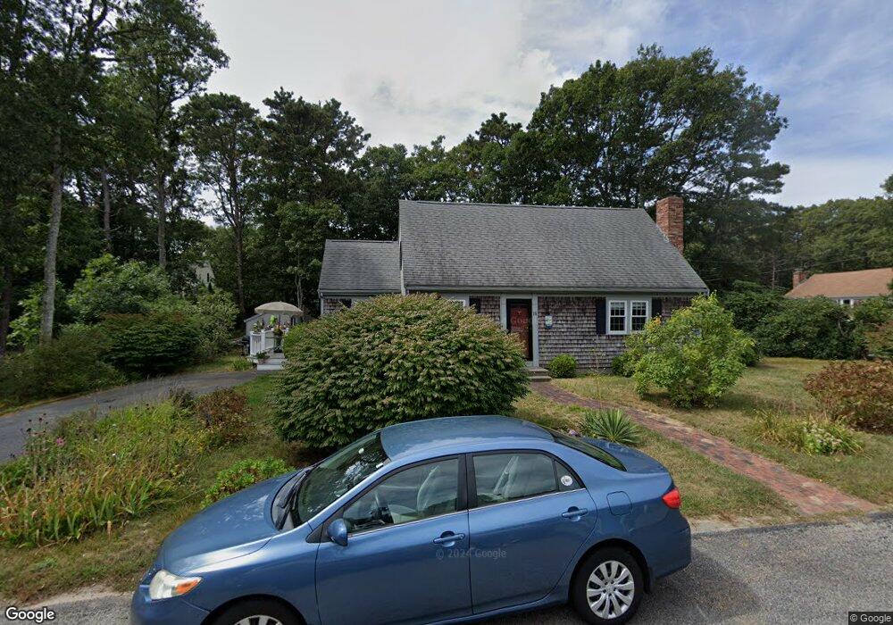
15 Matthew St South Dennis, MA 02660
South Dennis NeighborhoodEstimated Value: $535,000 - $733,000
3
Beds
2
Baths
1,568
Sq Ft
$411/Sq Ft
Est. Value
About This Home
This home is located at 15 Matthew St, South Dennis, MA 02660 and is currently estimated at $644,029, approximately $410 per square foot. 15 Matthew St is a home located in Barnstable County with nearby schools including Dennis-Yarmouth Regional High School.
Ownership History
Date
Name
Owned For
Owner Type
Purchase Details
Closed on
May 29, 1992
Sold by
Liner Jordan A and Liner Helene Y
Bought by
Gilroy William P and Gilroy Mary C
Current Estimated Value
Home Financials for this Owner
Home Financials are based on the most recent Mortgage that was taken out on this home.
Original Mortgage
$89,000
Interest Rate
8.7%
Mortgage Type
Purchase Money Mortgage
Create a Home Valuation Report for This Property
The Home Valuation Report is an in-depth analysis detailing your home's value as well as a comparison with similar homes in the area
Home Values in the Area
Average Home Value in this Area
Purchase History
| Date | Buyer | Sale Price | Title Company |
|---|---|---|---|
| Gilroy William P | $112,000 | -- |
Source: Public Records
Mortgage History
| Date | Status | Borrower | Loan Amount |
|---|---|---|---|
| Closed | Gilroy William P | $89,000 |
Source: Public Records
Tax History Compared to Growth
Tax History
| Year | Tax Paid | Tax Assessment Tax Assessment Total Assessment is a certain percentage of the fair market value that is determined by local assessors to be the total taxable value of land and additions on the property. | Land | Improvement |
|---|---|---|---|---|
| 2025 | $2,369 | $547,100 | $138,900 | $408,200 |
| 2024 | $2,303 | $524,600 | $133,600 | $391,000 |
| 2023 | $2,228 | $477,100 | $121,500 | $355,600 |
| 2022 | $2,163 | $386,200 | $121,600 | $264,600 |
| 2021 | $1,984 | $329,000 | $119,200 | $209,800 |
| 2020 | $1,933 | $316,900 | $119,200 | $197,700 |
| 2019 | $1,880 | $304,700 | $128,500 | $176,200 |
| 2018 | $1,759 | $277,500 | $111,200 | $166,300 |
| 2017 | $1,707 | $277,500 | $111,200 | $166,300 |
| 2016 | $1,680 | $257,300 | $116,800 | $140,500 |
| 2015 | $1,647 | $257,300 | $116,800 | $140,500 |
| 2014 | $1,499 | $236,100 | $100,100 | $136,000 |
Source: Public Records
Map
Nearby Homes
- 15 Captain Jud Rd
- 11 Uncle Stanleys Way
- 153 Bayridge Dr
- 17 Margate Ln
- 4 Ebb Rd
- 13 Covey Dr
- 32 Captain Walsh Dr
- 10 Joanne Dr
- 25 Skerry Rd
- 17 Fairmount Rd
- 17 Fairmount Rd
- 118 Driftwood Ln
- 7 Vinland Dr
- 111 Merchant Ave
- 1 Norseman Dr
- 129 Driftwood Ln
- 6 Nimble Hill Dr
- 59 Main St Unit 19-2
- 59 Route 6a Unit 29-4
- 59 Massachusetts 6a Unit 19-2
- 9 Matthew St
- 16 Captain Jud Rd
- 23 Captain Jud Rd
- 14 Matthew St
- 8 Captain Jud Rd
- 33 Captain Jud Rd
- 3 Matthew St
- 4 Matthew St
- 64 Captain Jud Rd
- 19 Captain Jud Rd
- 3 Captain Jud Rd
- 71 Hazelwood Rd
- 21 Hinkley Pond Dr
- 10 Danielle Dr
- 67 Hazelwood Rd
- 79 Hazelwood Rd
- 6 Danielle Dr
- 14 Danielle Dr
- 18 Danielle Dr
- 2 Danielle Dr