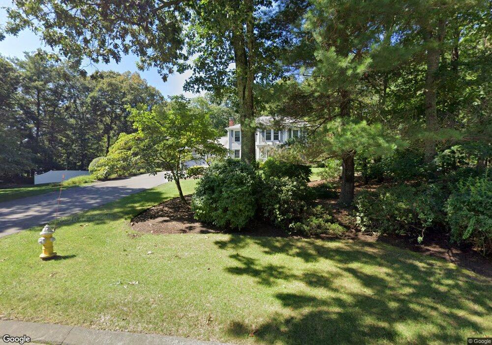
15 Melanie Ln Wrentham, MA 02093
Estimated Value: $690,000 - $879,000
4
Beds
3
Baths
2,359
Sq Ft
$333/Sq Ft
Est. Value
About This Home
This home is located at 15 Melanie Ln, Wrentham, MA 02093 and is currently estimated at $786,637, approximately $333 per square foot. 15 Melanie Ln is a home located in Norfolk County with nearby schools including Delaney Elementary School, Charles E Roderick, and Discovery Daycare Center.
Ownership History
Date
Name
Owned For
Owner Type
Purchase Details
Closed on
Jul 2, 2018
Sold by
Johnson Jay R and Johnson Sigrid C
Bought by
Johnson Rt
Current Estimated Value
Purchase Details
Closed on
May 28, 1985
Bought by
Johnson Jay R and Johnson Sigrid C
Create a Home Valuation Report for This Property
The Home Valuation Report is an in-depth analysis detailing your home's value as well as a comparison with similar homes in the area
Purchase History
| Date | Buyer | Sale Price | Title Company |
|---|---|---|---|
| Johnson Rt | -- | -- | |
| Johnson Jay R | -- | -- |
Source: Public Records
Mortgage History
| Date | Status | Borrower | Loan Amount |
|---|---|---|---|
| Previous Owner | Johnson Jay R | $35,000 | |
| Previous Owner | Johnson Jay R | $100,500 | |
| Previous Owner | Johnson Jay R | $104,900 |
Source: Public Records
Tax History
| Year | Tax Paid | Tax Assessment Tax Assessment Total Assessment is a certain percentage of the fair market value that is determined by local assessors to be the total taxable value of land and additions on the property. | Land | Improvement |
|---|---|---|---|---|
| 2025 | $7,984 | $688,900 | $274,400 | $414,500 |
| 2024 | $7,660 | $638,300 | $274,400 | $363,900 |
| 2023 | $7,417 | $587,700 | $249,500 | $338,200 |
| 2022 | $6,973 | $510,100 | $224,600 | $285,500 |
| 2021 | $6,524 | $463,700 | $200,800 | $262,900 |
| 2020 | $6,860 | $481,400 | $183,300 | $298,100 |
| 2019 | $6,607 | $467,900 | $183,300 | $284,600 |
| 2018 | $6,354 | $446,200 | $183,500 | $262,700 |
| 2017 | $6,209 | $435,700 | $180,000 | $255,700 |
| 2016 | $6,122 | $428,700 | $174,800 | $253,900 |
| 2015 | $5,992 | $400,000 | $168,000 | $232,000 |
| 2014 | $5,896 | $385,100 | $161,600 | $223,500 |
Source: Public Records
Map
Nearby Homes
- 483 Thurston St
- 282 Thurston St
- 46 Mirimichi St
- 160 Washington St Unit 22
- 16 Treasure Island Rd
- 126 Washington St
- 130 Washington St
- 124 Washington St
- 158 Washington St
- 40 Treasure Island Rd
- 10 Nature View Dr
- 15 Nature View Dr
- 3 Earle Stewart Ln
- 10 Earle Stewart Ln Unit Lot 5
- 2 Earle Stewart Ln
- 12 Earle Stewart Ln
- 33 Colonial Way
- 135 Creek St Unit 2
- 346 South St
- 9 Coach Rd
Your Personal Tour Guide
Ask me questions while you tour the home.