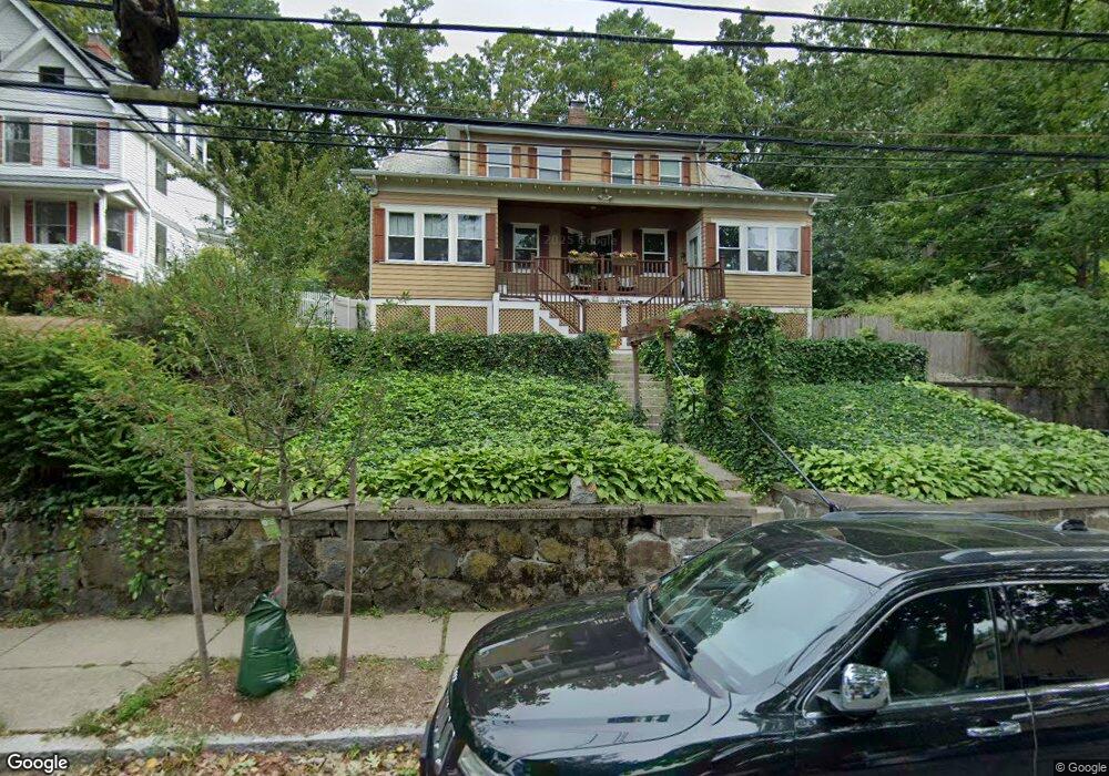
15 Mendum St Unit 17 Roslindale, MA 02131
Roslindale NeighborhoodEstimated Value: $1,014,000 - $1,358,044
6
Beds
4
Baths
3,328
Sq Ft
$351/Sq Ft
Est. Value
About This Home
This home is located at 15 Mendum St Unit 17, Roslindale, MA 02131 and is currently estimated at $1,169,261, approximately $351 per square foot. 15 Mendum St Unit 17 is a home located in Suffolk County with nearby schools including Brooke Charter School Roslindale, Holy Name Parish School, and Sacred Heart STEM School.
Ownership History
Date
Name
Owned For
Owner Type
Purchase Details
Closed on
Jun 14, 2016
Sold by
Husbands Maya S and Miner Sandra M
Bought by
15-17 Mendum Rt
Current Estimated Value
Purchase Details
Closed on
Jan 17, 2013
Sold by
Smith 3Rd Sidney W
Bought by
Smith 3Rd Sidney W and Smith Gloria S
Purchase Details
Closed on
Nov 22, 1991
Sold by
Rappa Vincent M and Talarico Antonette
Bought by
Smith Sidney W
Create a Home Valuation Report for This Property
The Home Valuation Report is an in-depth analysis detailing your home's value as well as a comparison with similar homes in the area
Home Values in the Area
Average Home Value in this Area
Purchase History
| Date | Buyer | Sale Price | Title Company |
|---|---|---|---|
| 15-17 Mendum Rt | -- | -- | |
| Husbands Maya S | -- | -- | |
| Smith 3Rd Sidney W | -- | -- | |
| Smith Sidney W | $210,000 | -- |
Source: Public Records
Mortgage History
| Date | Status | Borrower | Loan Amount |
|---|---|---|---|
| Previous Owner | Smith Sidney W | $245,000 | |
| Previous Owner | Smith Sidney W | $245,000 | |
| Previous Owner | Smith Sidney W | $50,000 |
Source: Public Records
Tax History Compared to Growth
Tax History
| Year | Tax Paid | Tax Assessment Tax Assessment Total Assessment is a certain percentage of the fair market value that is determined by local assessors to be the total taxable value of land and additions on the property. | Land | Improvement |
|---|---|---|---|---|
| 2025 | $12,633 | $1,090,900 | $469,200 | $621,700 |
| 2024 | $11,504 | $1,055,400 | $356,900 | $698,500 |
| 2023 | $11,335 | $1,055,400 | $356,900 | $698,500 |
| 2022 | $10,531 | $967,900 | $327,300 | $640,600 |
| 2021 | $9,836 | $921,800 | $311,700 | $610,100 |
| 2020 | $7,971 | $754,800 | $274,100 | $480,700 |
| 2019 | $7,795 | $739,600 | $238,500 | $501,100 |
| 2018 | $7,244 | $691,200 | $238,500 | $452,700 |
| 2017 | $7,108 | $671,200 | $238,500 | $432,700 |
| 2016 | $7,099 | $645,400 | $238,500 | $406,900 |
| 2015 | $6,542 | $540,200 | $175,400 | $364,800 |
| 2014 | $6,085 | $483,700 | $175,400 | $308,300 |
Source: Public Records
Map
Nearby Homes
- 46 Cotton St Unit 46
- 620 South St
- 2 Weld Hill St Unit 301
- 2 Weld Hill St Unit PH2
- 2 Weld Hill St Unit 302
- 20 Taft Hill Park Unit 5
- 74 Selwyn St Unit 2
- 27 Sheffield Rd Unit 3
- 22 Walter St Unit 2
- 57 Ardale St
- 21 Bexley Rd
- 15 S Fairview St Unit 3
- 38 Hazelmere Rd
- 18 Robert St Unit 14
- 18 Robert St Unit 4
- 79 Robert St Unit 3
- 87 Knoll St
- 173 Brookway Rd
- 108 Florence St Unit 1
- 108 Florence St Unit 3