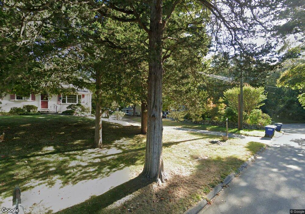
15 Merry Ln Gales Ferry, CT 06335
Estimated Value: $384,000 - $500,000
4
Beds
2
Baths
1,960
Sq Ft
$236/Sq Ft
Est. Value
About This Home
This home is located at 15 Merry Ln, Gales Ferry, CT 06335 and is currently estimated at $462,161, approximately $235 per square foot. 15 Merry Ln is a home located in New London County with nearby schools including Ledyard Middle School, Ledyard High School, and Academy Of St Therese.
Ownership History
Date
Name
Owned For
Owner Type
Purchase Details
Closed on
Nov 30, 2009
Sold by
Ruzicka Jeffrey F and Ruzicka Pamela B
Bought by
Ashe Sharon L and Patterson James L
Current Estimated Value
Purchase Details
Closed on
Jul 17, 2007
Sold by
Thayer Richard A
Bought by
Wraight Laura and Konieko Joshua
Home Financials for this Owner
Home Financials are based on the most recent Mortgage that was taken out on this home.
Original Mortgage
$183,000
Interest Rate
6.48%
Purchase Details
Closed on
Jun 27, 2006
Sold by
Buttermore Garee K and Buttermore Mary A
Bought by
Buttermore Steven E
Purchase Details
Closed on
Dec 29, 1999
Sold by
Aldrich Glen
Bought by
Delssantos Richard and Delossantos Samantha
Create a Home Valuation Report for This Property
The Home Valuation Report is an in-depth analysis detailing your home's value as well as a comparison with similar homes in the area
Home Values in the Area
Average Home Value in this Area
Purchase History
| Date | Buyer | Sale Price | Title Company |
|---|---|---|---|
| Ashe Sharon L | $315,000 | -- | |
| Wraight Laura | $183,000 | -- | |
| Buttermore Steven E | $265,200 | -- | |
| Delssantos Richard | $99,000 | -- |
Source: Public Records
Mortgage History
| Date | Status | Borrower | Loan Amount |
|---|---|---|---|
| Open | Delssantos Richard | $192,000 | |
| Previous Owner | Delssantos Richard | $183,000 | |
| Previous Owner | Delssantos Richard | $65,000 |
Source: Public Records
Tax History Compared to Growth
Tax History
| Year | Tax Paid | Tax Assessment Tax Assessment Total Assessment is a certain percentage of the fair market value that is determined by local assessors to be the total taxable value of land and additions on the property. | Land | Improvement |
|---|---|---|---|---|
| 2025 | $7,477 | $201,320 | $61,950 | $139,370 |
| 2024 | $7,088 | $201,320 | $61,950 | $139,370 |
| 2023 | $6,958 | $201,320 | $61,950 | $139,370 |
| 2022 | $6,809 | $201,320 | $61,950 | $139,370 |
| 2021 | $6,764 | $201,320 | $61,950 | $139,370 |
| 2020 | $6,034 | $172,550 | $64,890 | $107,660 |
| 2019 | $6,050 | $172,550 | $64,890 | $107,660 |
| 2018 | $5,917 | $172,550 | $64,890 | $107,660 |
| 2017 | $5,615 | $172,550 | $64,890 | $107,660 |
| 2016 | $5,504 | $172,550 | $64,890 | $107,660 |
| 2015 | $5,246 | $172,550 | $64,890 | $107,660 |
| 2014 | $5,364 | $179,410 | $64,890 | $114,520 |
Source: Public Records
Map
Nearby Homes
- 123A Whalehead Rd
- 0 Clarks Falls Unit 24089817
- 7 Briarwood Ct
- 2 Garden Ct
- 16 Marty's Way
- 47 Norman Dr
- 18 Marty's Way
- 11 Marty's Way
- 25 Marty's Way
- 27 Marty's Way
- 39 Ash Dr Unit 9
- 5 Bittersweet Dr
- 421 Kitemaug Rd
- 9 West Dr
- 932 Long Cove Rd Unit TRLR 4
- 7 Harvard Rd
- 170 Depot Rd
- 16 Marlene Dr
- 14 Woodland Ln
- 165 Massapeag Rd