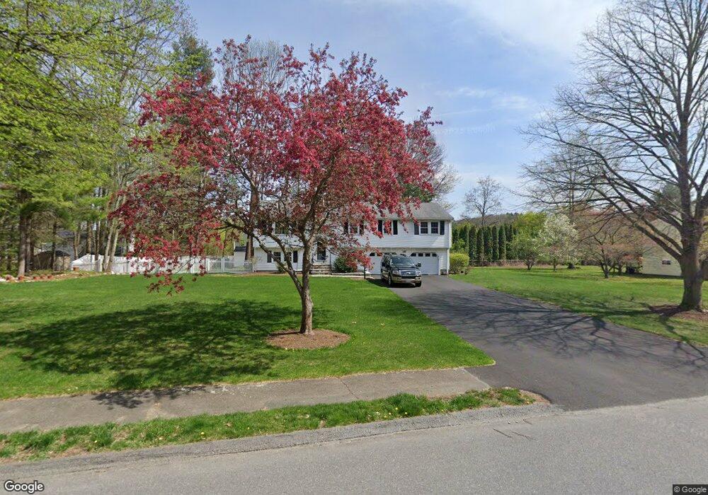
15 Michael Rd Maynard, MA 01754
Estimated Value: $661,000 - $747,000
6
Beds
2
Baths
1,398
Sq Ft
$496/Sq Ft
Est. Value
About This Home
This home is located at 15 Michael Rd, Maynard, MA 01754 and is currently estimated at $693,003, approximately $495 per square foot. 15 Michael Rd is a home located in Middlesex County with nearby schools including Green Meadow School, Fowler School, and Maynard High School.
Create a Home Valuation Report for This Property
The Home Valuation Report is an in-depth analysis detailing your home's value as well as a comparison with similar homes in the area
Home Values in the Area
Average Home Value in this Area
Tax History
| Year | Tax Paid | Tax Assessment Tax Assessment Total Assessment is a certain percentage of the fair market value that is determined by local assessors to be the total taxable value of land and additions on the property. | Land | Improvement |
|---|---|---|---|---|
| 2025 | $10,794 | $605,400 | $297,700 | $307,700 |
| 2024 | $10,202 | $570,600 | $283,600 | $287,000 |
| 2023 | $10,092 | $532,000 | $270,100 | $261,900 |
| 2022 | $9,710 | $473,200 | $226,900 | $246,300 |
| 2021 | $9,493 | $471,100 | $226,900 | $244,200 |
| 2020 | $9,445 | $457,600 | $205,300 | $252,300 |
| 2019 | $9,060 | $430,600 | $196,100 | $234,500 |
| 2018 | $5,768 | $371,000 | $178,300 | $192,700 |
| 2017 | $8,166 | $371,000 | $178,300 | $192,700 |
| 2016 | $7,884 | $371,000 | $178,300 | $192,700 |
| 2015 | $7,710 | $345,600 | $170,200 | $175,400 |
| 2014 | $7,260 | $325,700 | $164,800 | $160,900 |
Source: Public Records
Map
Nearby Homes
- 153 Summer St
- 10 Mill St Unit B
- 34 Meeting House Ln Unit 208
- 36 Brown St
- 63 Conant St
- 12 Brown St
- 6 Beacon Ct
- 41 Taylor Rd
- 247 W Acton Rd
- 12 S Acton Rd
- 38 Fairfield St
- 280 W Acton Rd
- 68 Powder Mill Rd
- 22 Douglas Ave Unit 2
- 22 Douglas Ave Unit 1
- 70 Powder Mill Rd
- 13 Arthur St Unit 15
- 5 Hayes St Unit 5
- 40 High St
- 31-33 Roosevelt St
Your Personal Tour Guide
Ask me questions while you tour the home.