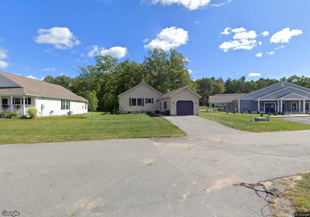
15 Mockingbird Dr Danielson, CT 06239
Estimated Value: $367,000 - $474,000
2
Beds
2
Baths
1,404
Sq Ft
$285/Sq Ft
Est. Value
About This Home
This home is located at 15 Mockingbird Dr, Danielson, CT 06239 and is currently estimated at $400,410, approximately $285 per square foot. 15 Mockingbird Dr is a home located in Windham County with nearby schools including Killingly Central School, Killingly Memorial School, and Killingly Intermediate School.
Ownership History
Date
Name
Owned For
Owner Type
Purchase Details
Closed on
Jul 11, 2011
Sold by
Briarwood Acq Llc
Bought by
Delsesto William A and Delsesto Deborah D
Current Estimated Value
Home Financials for this Owner
Home Financials are based on the most recent Mortgage that was taken out on this home.
Original Mortgage
$70,700
Outstanding Balance
$48,617
Interest Rate
4.5%
Mortgage Type
FHA
Estimated Equity
$351,793
Create a Home Valuation Report for This Property
The Home Valuation Report is an in-depth analysis detailing your home's value as well as a comparison with similar homes in the area
Home Values in the Area
Average Home Value in this Area
Purchase History
| Date | Buyer | Sale Price | Title Company |
|---|---|---|---|
| Delsesto William A | $207,740 | -- | |
| Delsesto William A | $207,740 | -- |
Source: Public Records
Mortgage History
| Date | Status | Borrower | Loan Amount |
|---|---|---|---|
| Open | Delsesto William A | $70,700 | |
| Closed | Delsesto William A | $70,700 |
Source: Public Records
Tax History
| Year | Tax Paid | Tax Assessment Tax Assessment Total Assessment is a certain percentage of the fair market value that is determined by local assessors to be the total taxable value of land and additions on the property. | Land | Improvement |
|---|---|---|---|---|
| 2025 | $4,873 | $207,790 | $0 | $207,790 |
| 2024 | $4,586 | $207,790 | $0 | $207,790 |
| 2023 | $4,358 | $152,110 | $0 | $152,110 |
| 2022 | $4,093 | $152,110 | $0 | $152,110 |
| 2021 | $4,093 | $152,110 | $0 | $152,110 |
| 2020 | $4,007 | $152,110 | $0 | $152,110 |
| 2019 | $4,086 | $152,110 | $0 | $152,110 |
| 2017 | $4,110 | $140,700 | $0 | $140,700 |
| 2016 | $4,096 | $140,700 | $0 | $140,700 |
| 2015 | $4,124 | $140,700 | $0 | $140,700 |
| 2014 | $4,011 | $140,700 | $0 | $140,700 |
Source: Public Records
Map
Nearby Homes
- 61 Deerwood Dr
- 56 Deerwood Dr
- 724 Cook Hill Rd
- 14 Valley View Dr
- 16 Valley View Dr
- 842 Hartford Pike
- 23 Brookside Dr
- 53 Brookside Dr
- 175 Mashentuck Rd
- 304 Mashentuck Rd
- 380 Mashentuck Rd
- 85 Mashentuck Rd
- 438 Hartford Pike
- 0 Cook Hill Rd Unit 24135933
- 48 Athol St Unit 48
- 333 Breakneck Hill Rd
- 941 Upper Maple St
- 74 Athol St
- 85 Soap St
- 350 Hartford Pike
- 29 Mockingbird Dr
- 27 Mockingbird Dr
- 25 Mockingbird Dr
- 23 Mockingbird Dr
- 35 Mockingbird Dr
- 21 Mockingbird Dr
- 37 Mockingbird Dr
- 19 Mockingbird Dr
- 17 Mockingbird Dr
- 17 Mockingbird Dr Unit 17
- 41 Mockingbird Dr
- 43 Mockingbird Dr
- 22 Mockingbird Dr
- 20 Mockingbird Dr
- 18 Mockingbird Dr
- 16 Mockingbird Dr
- 14 Mockingbird Dr
- 12 Mockingbird Dr
- 14 Mockingbird Dr Unit 14
- 12 Mockingbird Dr Unit 12
Your Personal Tour Guide
Ask me questions while you tour the home.