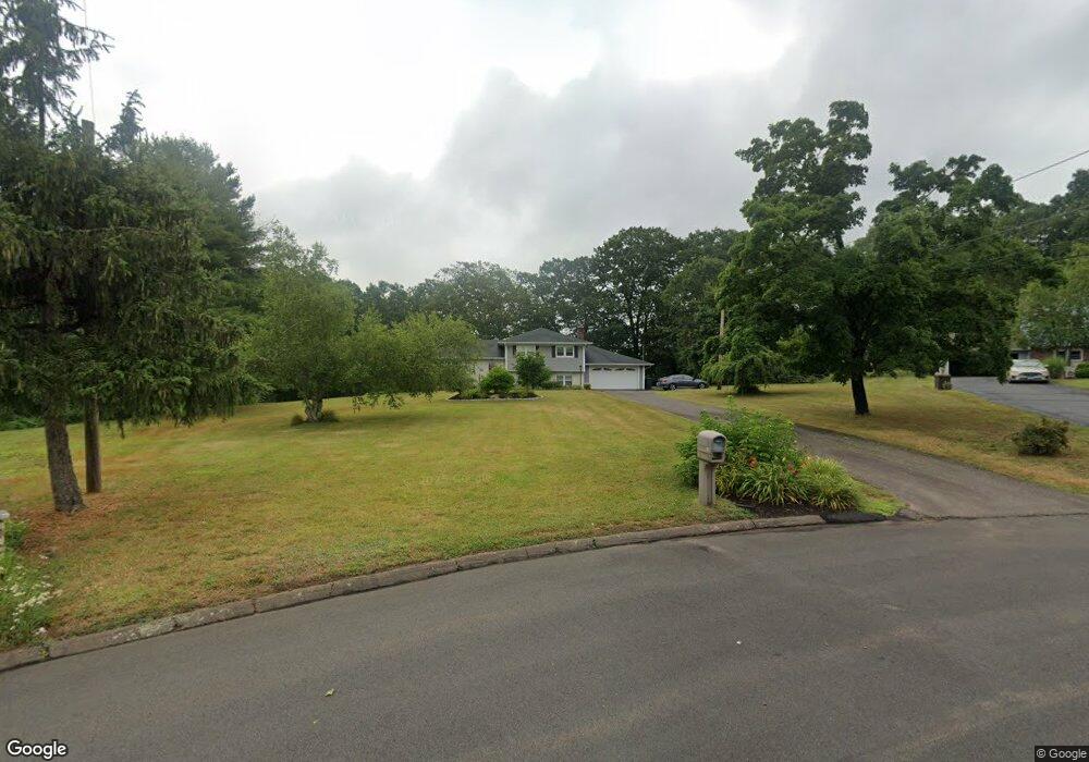
15 Mohawk Dr North Haven, CT 06473
Estimated Value: $434,000 - $540,000
3
Beds
3
Baths
1,688
Sq Ft
$302/Sq Ft
Est. Value
About This Home
This home is located at 15 Mohawk Dr, North Haven, CT 06473 and is currently estimated at $510,222, approximately $302 per square foot. 15 Mohawk Dr is a home located in New Haven County with nearby schools including North Haven Middle School and North Haven High School.
Ownership History
Date
Name
Owned For
Owner Type
Purchase Details
Closed on
Jul 28, 2025
Sold by
Ricciardi Peter E
Bought by
Peter E Ricciardi Lt
Current Estimated Value
Purchase Details
Closed on
Mar 6, 1979
Bought by
Riccardi Peter E and Riccardi Susan M
Create a Home Valuation Report for This Property
The Home Valuation Report is an in-depth analysis detailing your home's value as well as a comparison with similar homes in the area
Home Values in the Area
Average Home Value in this Area
Purchase History
| Date | Buyer | Sale Price | Title Company |
|---|---|---|---|
| Peter E Ricciardi Lt | -- | -- | |
| Riccardi Peter E | -- | -- |
Source: Public Records
Mortgage History
| Date | Status | Borrower | Loan Amount |
|---|---|---|---|
| Previous Owner | Riccardi Peter E | $200,000 | |
| Previous Owner | Riccardi Peter E | $157,000 | |
| Previous Owner | Riccardi Peter E | $100,000 |
Source: Public Records
Tax History Compared to Growth
Tax History
| Year | Tax Paid | Tax Assessment Tax Assessment Total Assessment is a certain percentage of the fair market value that is determined by local assessors to be the total taxable value of land and additions on the property. | Land | Improvement |
|---|---|---|---|---|
| 2025 | $9,762 | $331,380 | $81,200 | $250,180 |
| 2024 | $8,280 | $239,030 | $81,220 | $157,810 |
| 2023 | $7,804 | $239,030 | $81,220 | $157,810 |
| 2022 | $7,341 | $239,030 | $81,220 | $157,810 |
| 2021 | $7,316 | $239,030 | $81,220 | $157,810 |
| 2020 | $7,343 | $239,030 | $81,220 | $157,810 |
| 2019 | $7,471 | $239,610 | $88,620 | $150,990 |
| 2018 | $7,471 | $239,610 | $88,620 | $150,990 |
| 2017 | $7,577 | $239,610 | $88,620 | $150,990 |
| 2016 | $7,315 | $239,610 | $88,620 | $150,990 |
| 2015 | $7,049 | $239,610 | $88,620 | $150,990 |
| 2014 | $6,401 | $227,780 | $87,430 | $140,350 |
Source: Public Records
Map
Nearby Homes
- 201 Rimmon Rd
- 5 Stefania's Way Unit Lot 14
- 300 Mill Rd
- 929 Totoket Rd
- 49 Pond Hill Rd Unit Lot 4
- 45 Pond Hill Lot 3 Rd
- 2 Lombard Cir Unit 2
- 4 Lombard Cir Unit 4
- 20 Lombard Cir Unit 20
- 22 Lombard Cir Unit 22
- 641-645 Forest Rd Unit Lot 4
- 641-645 Forest Rd Unit Lot 3
- 641-645 Forest Rd Unit Lot 2
- 641-645 Forest Rd Unit Lot 1
- 804 Forest Rd
- 84 Grove Rd
- 34 Birchwood Rd
- 15 Laydon Ave
- 95 Blakeslee Ave
- 28 North Ave
- 14 Mohawk Dr
- 11 Mohawk Dr
- 31 Elizabeth Terrace
- 14 Elizabeth Terrace
- 10 Mohawk Dr
- 33 Knight Ln
- 27 Elizabeth Terrace
- 181 Rimmon Rd
- 7 Mohawk Dr
- 10 Elizabeth Terrace
- 29 Knight Ln
- 38 Knight Ln
- 6 Mohawk Dr
- 19 Elizabeth Terrace
- 15 Elizabeth Terrace
- 23 Elizabeth Terrace
- 34 Knight Ln
- 900 Middletown Ave
- 3 Mohawk Dr
- 33 Sara Cir