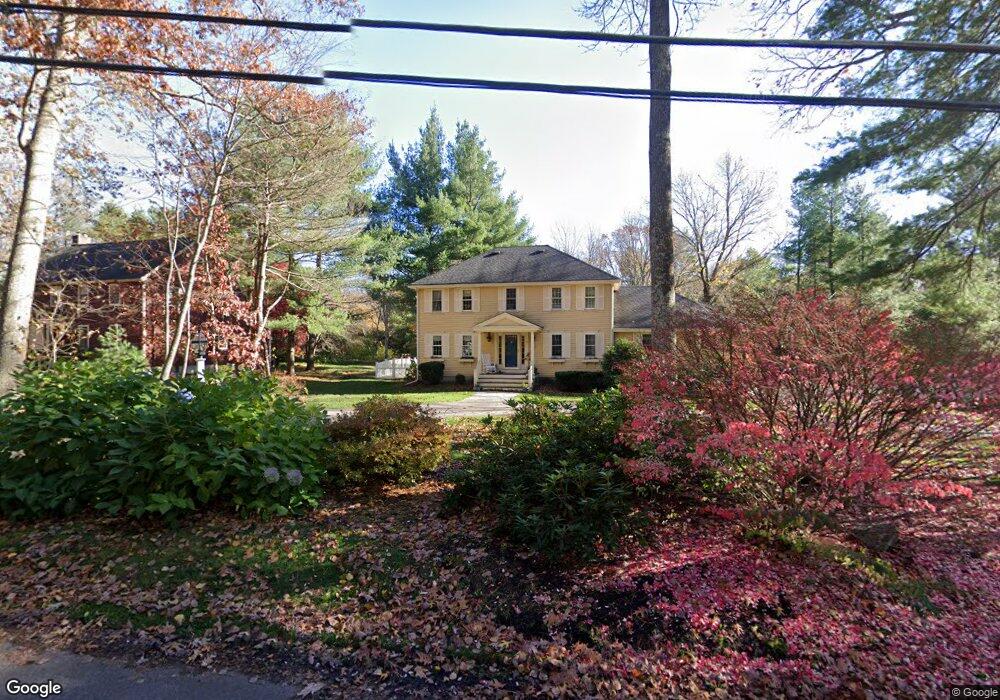
15 Moore Rd Sudbury, MA 01776
Estimated Value: $1,141,167 - $1,323,000
4
Beds
3
Baths
2,498
Sq Ft
$480/Sq Ft
Est. Value
About This Home
This home is located at 15 Moore Rd, Sudbury, MA 01776 and is currently estimated at $1,198,292, approximately $479 per square foot. 15 Moore Rd is a home located in Middlesex County with nearby schools including Peter Noyes Elementary School, Ephraim Curtis Middle School, and Lincoln-Sudbury Regional High School.
Ownership History
Date
Name
Owned For
Owner Type
Purchase Details
Closed on
Aug 18, 2025
Sold by
Baker Michael S and Baker Karen A
Bought by
Baker Ft and Baker
Current Estimated Value
Purchase Details
Closed on
Jan 29, 1996
Sold by
Levine Paul B and Levine Roberta
Bought by
Baker Michael S and Baker Karen A
Purchase Details
Closed on
Dec 29, 1989
Sold by
Bangser Andrew C
Bought by
Levine Paul B
Create a Home Valuation Report for This Property
The Home Valuation Report is an in-depth analysis detailing your home's value as well as a comparison with similar homes in the area
Home Values in the Area
Average Home Value in this Area
Purchase History
| Date | Buyer | Sale Price | Title Company |
|---|---|---|---|
| Baker Ft | -- | -- | |
| Baker Michael S | $356,500 | -- | |
| Baker Michael S | $356,500 | -- | |
| Levine Paul B | $350,000 | -- | |
| Levine Paul B | $350,000 | -- |
Source: Public Records
Mortgage History
| Date | Status | Borrower | Loan Amount |
|---|---|---|---|
| Previous Owner | Levine Paul B | $409,000 | |
| Previous Owner | Levine Paul B | $50,000 |
Source: Public Records
Tax History Compared to Growth
Tax History
| Year | Tax Paid | Tax Assessment Tax Assessment Total Assessment is a certain percentage of the fair market value that is determined by local assessors to be the total taxable value of land and additions on the property. | Land | Improvement |
|---|---|---|---|---|
| 2025 | $16,165 | $1,104,200 | $439,000 | $665,200 |
| 2024 | $15,580 | $1,066,400 | $426,200 | $640,200 |
| 2023 | $14,663 | $929,800 | $394,600 | $535,200 |
| 2022 | $14,380 | $796,700 | $362,200 | $434,500 |
| 2021 | $13,667 | $725,800 | $362,200 | $363,600 |
| 2020 | $13,391 | $725,800 | $362,200 | $363,600 |
| 2019 | $12,999 | $725,800 | $362,200 | $363,600 |
| 2018 | $12,867 | $717,600 | $386,200 | $331,400 |
| 2017 | $12,411 | $699,600 | $367,400 | $332,200 |
| 2016 | $12,027 | $675,700 | $353,400 | $322,300 |
| 2015 | $11,537 | $655,500 | $339,800 | $315,700 |
| 2014 | $11,519 | $638,900 | $329,800 | $309,100 |
Source: Public Records
Map
Nearby Homes
- 21 Summer St
- 47 Fairbank Rd
- 4 Elderberry Cir
- 14 Tanbark Rd
- 12 Camperdown Ln
- 36 Old Forge Ln
- 7 Saddle Ridge Rd
- 54 Phillips Rd
- 24 Goodnow Rd
- 55 Widow Rites Ln
- 45 Widow Rites Ln
- 143 Peakham Rd
- 30 Rolling Ln
- 166 Parker St Unit 4
- 25 Bridle Path
- 67 Old Marlboro Rd
- 12 Hickory Rd
- 89 Bridle Path
- 788 Main St
- 54 Stone Rd