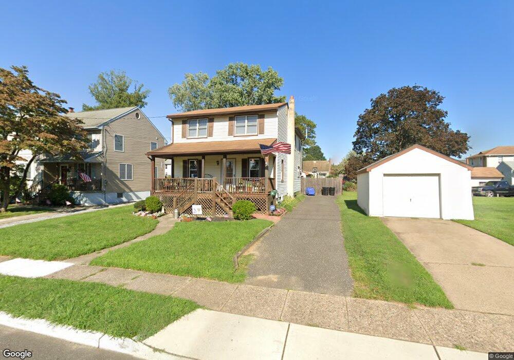
15 N Coles Ave Maple Shade, NJ 08052
Estimated Value: $370,000 - $418,000
3
Beds
2
Baths
2,034
Sq Ft
$191/Sq Ft
Est. Value
About This Home
This home is located at 15 N Coles Ave, Maple Shade, NJ 08052 and is currently estimated at $388,600, approximately $191 per square foot. 15 N Coles Ave is a home located in Burlington County with nearby schools including Ralph J Steinhauer Elementary School, Maude M. Wilkins Elementary School, and Howard R Yocum School.
Ownership History
Date
Name
Owned For
Owner Type
Purchase Details
Closed on
Nov 2, 2018
Sold by
Salvatore Raymond C and Salvatore Victoria
Bought by
Salvatore Amanda D and Salvatore Nicholas
Current Estimated Value
Home Financials for this Owner
Home Financials are based on the most recent Mortgage that was taken out on this home.
Original Mortgage
$166,920
Outstanding Balance
$145,460
Interest Rate
4.37%
Mortgage Type
FHA
Estimated Equity
$243,140
Purchase Details
Closed on
Jun 15, 1992
Sold by
Salvatore Raymond C
Bought by
Salvatore Raymond C and Salvatore Victoria
Create a Home Valuation Report for This Property
The Home Valuation Report is an in-depth analysis detailing your home's value as well as a comparison with similar homes in the area
Home Values in the Area
Average Home Value in this Area
Purchase History
| Date | Buyer | Sale Price | Title Company |
|---|---|---|---|
| Salvatore Amanda D | $170,000 | Old Republic Natl Title Co | |
| Salvatore Raymond C | -- | -- | |
| Salvatore Raymond C | -- | -- |
Source: Public Records
Mortgage History
| Date | Status | Borrower | Loan Amount |
|---|---|---|---|
| Open | Salvatore Amanda D | $166,920 |
Source: Public Records
Tax History
| Year | Tax Paid | Tax Assessment Tax Assessment Total Assessment is a certain percentage of the fair market value that is determined by local assessors to be the total taxable value of land and additions on the property. | Land | Improvement |
|---|---|---|---|---|
| 2025 | $6,685 | $176,100 | $46,600 | $129,500 |
| 2024 | $6,491 | $176,100 | $46,600 | $129,500 |
| 2023 | $6,491 | $176,100 | $46,600 | $129,500 |
| 2022 | $6,391 | $176,100 | $46,600 | $129,500 |
| 2021 | $6,329 | $176,100 | $46,600 | $129,500 |
| 2020 | $6,347 | $176,100 | $46,600 | $129,500 |
| 2019 | $6,114 | $176,100 | $46,600 | $129,500 |
| 2018 | $6,009 | $176,100 | $46,600 | $129,500 |
| 2017 | $5,688 | $176,100 | $46,600 | $129,500 |
| 2016 | $5,600 | $176,100 | $46,600 | $129,500 |
| 2015 | $5,473 | $176,100 | $46,600 | $129,500 |
| 2014 | $5,299 | $176,100 | $46,600 | $129,500 |
Source: Public Records
Map
Nearby Homes
- 57 S Terrace Ave
- 35 Farnsworth Ave
- 47 S Lippincott Ave
- 9 Woodbine Ave
- 6 Woodbine Ave
- 21 Paul Rd
- 22 Theodore Ave
- 5 Paul Rd
- 11 Rose Ave
- 400 N Forklanding Rd
- 61 S Maple Ave
- 42 Spruce Ave
- 8539 Bryn Mawr Ave
- 1720 Media Rd
- 304 S Forklanding Rd
- 66 W Center Ave
- 207 E Park Ave
- 331 Collins Ln
- 206 S Maple Ave
- 8323 Maple Ave
- 17 N Coles Ave
- 21 N Coles Ave
- 319 W Main St
- 323 W Main St
- 315 W Main St
- 311 W Main St
- 14 N Clinton Ave
- 25 N Coles Ave
- 18 N Clinton Ave
- 405 W Main St
- 22 N Clinton Ave
- 307 W Main St
- 14 N Coles Ave
- 18 N Coles Ave
- 26 N Clinton Ave
- 0 S Coles Ave
- 22 N Coles Ave
- 303 W Main St
- 31 N Coles Ave
- 32 N Clinton Ave
Your Personal Tour Guide
Ask me questions while you tour the home.