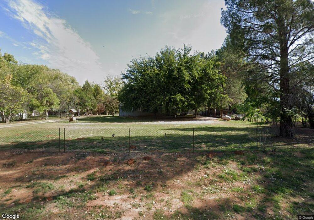
15 N Farm Circle Rd Cornville, AZ 86325
Estimated Value: $421,000 - $631,000
3
Beds
3
Baths
1,582
Sq Ft
$355/Sq Ft
Est. Value
About This Home
This home is located at 15 N Farm Circle Rd, Cornville, AZ 86325 and is currently estimated at $561,284, approximately $354 per square foot. 15 N Farm Circle Rd is a home located in Yavapai County with nearby schools including Oak Creek School, Cottonwood Community School, and Cottonwood Middle School.
Ownership History
Date
Name
Owned For
Owner Type
Purchase Details
Closed on
Dec 9, 2014
Sold by
Fannie Mae
Bought by
Michele Altman Daniel and Michele Altrnan
Current Estimated Value
Home Financials for this Owner
Home Financials are based on the most recent Mortgage that was taken out on this home.
Original Mortgage
$193,000
Outstanding Balance
$148,000
Interest Rate
3.95%
Mortgage Type
New Conventional
Estimated Equity
$413,284
Purchase Details
Closed on
Mar 25, 2014
Sold by
Morrison Ray and Morrison Stacey
Bought by
Federal National Mortgage Association
Create a Home Valuation Report for This Property
The Home Valuation Report is an in-depth analysis detailing your home's value as well as a comparison with similar homes in the area
Home Values in the Area
Average Home Value in this Area
Purchase History
| Date | Buyer | Sale Price | Title Company |
|---|---|---|---|
| Michele Altman Daniel | $180,000 | Pioneer Title Agency | |
| Federal National Mortgage Association | -- | None Available |
Source: Public Records
Mortgage History
| Date | Status | Borrower | Loan Amount |
|---|---|---|---|
| Open | Michele Altman Daniel | $193,000 |
Source: Public Records
Tax History Compared to Growth
Tax History
| Year | Tax Paid | Tax Assessment Tax Assessment Total Assessment is a certain percentage of the fair market value that is determined by local assessors to be the total taxable value of land and additions on the property. | Land | Improvement |
|---|---|---|---|---|
| 2026 | $2,423 | $52,925 | -- | -- |
| 2024 | $2,328 | $50,646 | -- | -- |
| 2023 | $2,328 | $41,247 | $12,124 | $29,123 |
| 2022 | $2,288 | $30,561 | $6,950 | $23,611 |
| 2021 | $2,390 | $27,872 | $6,451 | $21,421 |
| 2020 | $2,346 | $0 | $0 | $0 |
| 2019 | $2,305 | $0 | $0 | $0 |
| 2018 | $2,211 | $0 | $0 | $0 |
| 2017 | $2,114 | $0 | $0 | $0 |
| 2016 | $2,061 | $0 | $0 | $0 |
| 2015 | $2,039 | $0 | $0 | $0 |
| 2014 | $1,834 | $0 | $0 | $0 |
Source: Public Records
Map
Nearby Homes
- 10580 E Swinging Bridge Ln
- 10647 E Swinging Bridge Ln
- 10295 E Cottonwood Ct Unit 136
- 10755 E Oak Creek Trail
- 10973 E Majestic Vista Ln Unit 1
- 235 S Bonito Ranch Loop Unit 26
- 465 S Bonita Ranch Loop Unit 22
- 10725 E Valley View Dr Unit 174
- 100 S Blue Heron Dr
- 10425 E Willow Dr
- 10885 E Pear Tree Dr
- 10883 E Pear Tree Dr Unit 14
- 10881 E Pear Tree Dr Unit 15
- 220 S Bright Star Ln
- 0000 E Willow Point Rd
- 960 N Aspaas Rd
- 11365 E Adams Ln
- 10170 S Mels Rd
- 9420 E Cornville Rd
- 9280 E Cornville Rd
- 5 N Farm Circle Rd
- 25 N Farm Circle Rd
- 10320 E Swinging Bridge Ln
- 00 S Country Hill Rd
- 0 Country Hill Ln Unit 119286
- 0 Country Hill Ln Unit B
- 0 Country Hill Ln
- 20 N Farm Circle Rd
- 10360 E Swinging Bridge Ln
- 50 N Farm Circle Rd
- 20 N Old Pumphouse Rd
- 60 N Old Pumphouse Rd
- 10100 E Swinging Bridge Ln
- 65 S Country View Ln
- 120 N Old Pumphouse Rd
- 10609 E Swinging Bridge Ln
- 130 N Farm Circle Rd