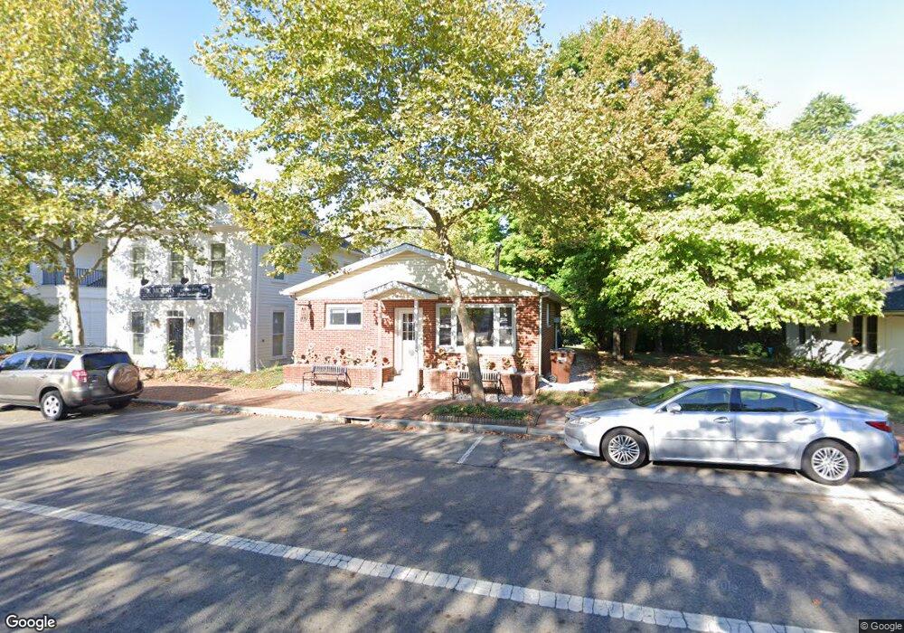
15 N High St New Albany, OH 43054
Estimated Value: $203,448 - $1,190,000
2
Beds
1
Bath
1,088
Sq Ft
$540/Sq Ft
Est. Value
About This Home
This home is located at 15 N High St, New Albany, OH 43054 and is currently estimated at $587,612, approximately $540 per square foot. 15 N High St is a home with nearby schools including New Albany Primary School, New Albany Intermediate School, and New Albany Middle School.
Ownership History
Date
Name
Owned For
Owner Type
Purchase Details
Closed on
Nov 17, 2016
Sold by
Seabolt Gregory A and Seabolt Deborah J
Bought by
Foglia Lori A
Current Estimated Value
Home Financials for this Owner
Home Financials are based on the most recent Mortgage that was taken out on this home.
Original Mortgage
$560,000
Outstanding Balance
$450,291
Interest Rate
3.47%
Mortgage Type
New Conventional
Estimated Equity
$137,322
Purchase Details
Closed on
May 3, 2011
Sold by
Martin Cynthia L and Dean Cynthia L
Bought by
Martin Cynthia L and The Cynthia L Martin 2010 Trus
Purchase Details
Closed on
May 4, 2007
Sold by
Dean Cynthia L
Bought by
The Village Of New Albany
Purchase Details
Closed on
Nov 6, 1979
Bought by
Dean Cynthia L
Create a Home Valuation Report for This Property
The Home Valuation Report is an in-depth analysis detailing your home's value as well as a comparison with similar homes in the area
Home Values in the Area
Average Home Value in this Area
Purchase History
| Date | Buyer | Sale Price | Title Company |
|---|---|---|---|
| Foglia Lori A | $729,000 | None Available | |
| Martin Cynthia L | -- | Attorney | |
| The Village Of New Albany | -- | None Available | |
| Dean Cynthia L | -- | -- |
Source: Public Records
Mortgage History
| Date | Status | Borrower | Loan Amount |
|---|---|---|---|
| Open | Foglia Lori A | $560,000 |
Source: Public Records
Tax History Compared to Growth
Tax History
| Year | Tax Paid | Tax Assessment Tax Assessment Total Assessment is a certain percentage of the fair market value that is determined by local assessors to be the total taxable value of land and additions on the property. | Land | Improvement |
|---|---|---|---|---|
| 2024 | $3,060 | $48,100 | $12,600 | $35,500 |
| 2023 | $2,829 | $48,090 | $12,600 | $35,490 |
| 2022 | $3,319 | $43,480 | $11,030 | $32,450 |
| 2021 | $3,193 | $43,480 | $11,030 | $32,450 |
| 2020 | $3,175 | $43,480 | $11,030 | $32,450 |
| 2019 | $3,025 | $37,810 | $9,590 | $28,220 |
| 2018 | $1,494 | $37,810 | $9,590 | $28,220 |
| 2017 | $3,028 | $37,810 | $9,590 | $28,220 |
| 2016 | $3,036 | $34,970 | $10,080 | $24,890 |
| 2015 | $3,034 | $34,970 | $10,080 | $24,890 |
| 2014 | $2,982 | $34,970 | $10,080 | $24,890 |
| 2013 | $670 | $15,295 | $1,750 | $13,545 |
Source: Public Records
Map
Nearby Homes
- 8127 Griswold Dr
- 8175 Parsons Pass
- 5074 Hearthstone Park Dr
- 105 Keswick Dr
- 115 Keswick Dr
- 5950 Johnstown Rd
- 6869 Cedar Brook Place
- 5945 Johnstown Rd
- 4945 Yantis Dr
- 6500 Cedar Glen Ct
- 5510 Steele Ct
- 8309 Marwithe Place
- 25 Pickett Place
- 7200 Fernridge Dr
- 10087 Johnstown Rd
- 5445 Welbourne Place Unit 25
- 5650 Harlem Rd
- 5685 Jersey Dr
- 6964 Aster Dr
- 7485 Central College Rd