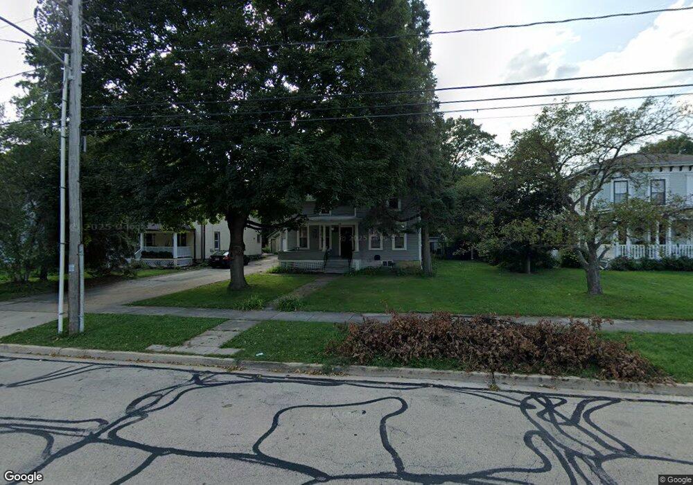
15 N Lincoln St Batavia, IL 60510
Northwest Batavia NeighborhoodEstimated Value: $364,000 - $427,000
4
Beds
--
Bath
1,648
Sq Ft
$235/Sq Ft
Est. Value
About This Home
This home is located at 15 N Lincoln St, Batavia, IL 60510 and is currently estimated at $387,760, approximately $235 per square foot. 15 N Lincoln St is a home located in Kane County with nearby schools including H C Storm Elementary School, Sam Rotolo Middle School, and Batavia Sr High School.
Ownership History
Date
Name
Owned For
Owner Type
Purchase Details
Closed on
Nov 1, 2010
Sold by
Collins Thomas J
Bought by
Collins Batavia Llc
Current Estimated Value
Purchase Details
Closed on
Oct 21, 2010
Sold by
Collins Thomas J and Collins Roxanne H
Bought by
Collins Thomas J and Thomas J Collins Declaration Of Trust
Purchase Details
Closed on
Nov 21, 2007
Sold by
Olson Ramona A
Bought by
Collins Thomas J and Collins Roxanne H
Create a Home Valuation Report for This Property
The Home Valuation Report is an in-depth analysis detailing your home's value as well as a comparison with similar homes in the area
Home Values in the Area
Average Home Value in this Area
Purchase History
| Date | Buyer | Sale Price | Title Company |
|---|---|---|---|
| Collins Batavia Llc | -- | First American Title Ins Co | |
| Collins Thomas J | -- | First American Title Ins Co | |
| Collins Thomas J | $200,500 | Chicago Title Insurance Co |
Source: Public Records
Tax History Compared to Growth
Tax History
| Year | Tax Paid | Tax Assessment Tax Assessment Total Assessment is a certain percentage of the fair market value that is determined by local assessors to be the total taxable value of land and additions on the property. | Land | Improvement |
|---|---|---|---|---|
| 2024 | $8,739 | $110,525 | $59,019 | $51,506 |
| 2023 | $8,608 | $100,313 | $53,566 | $46,747 |
| 2022 | $8,186 | $93,751 | $50,062 | $43,689 |
| 2021 | $7,375 | $83,199 | $47,479 | $35,720 |
| 2020 | $7,201 | $81,599 | $46,566 | $35,033 |
| 2019 | $7,098 | $78,711 | $44,918 | $33,793 |
| 2018 | $6,841 | $75,713 | $43,207 | $32,506 |
| 2017 | $6,680 | $73,216 | $41,782 | $31,434 |
| 2016 | $6,550 | $71,083 | $40,565 | $30,518 |
| 2015 | -- | $66,753 | $39,641 | $27,112 |
| 2014 | -- | $64,652 | $38,393 | $26,259 |
| 2013 | -- | $63,391 | $37,644 | $25,747 |
Source: Public Records
Map
Nearby Homes
- 21 N Lincoln St
- 123 N Jefferson St
- 330 First St
- 345 Main St
- 514 Main St
- 605 Main St
- 107 N Mallory Ave
- 221 Elm St
- 950 Houston St
- 982 Houston St
- 1062 Houston St Unit 74004
- 1054 Houston St Unit 89004
- 1058 Houston St Unit 74003
- 918 Houston St
- 942 Houston St
- 1075 Houston St Unit 89002
- 934 Houston St
- 910 Houston St
- 966 Houston St
- 109 N Van Nortwick Ave
- 9 N Lincoln St
- 405 W Wilson St
- 27 N Lincoln St
- 419 W Wilson St
- 418 Houston St
- 423 W Wilson St
- 422 Houston St
- 429 W Wilson St
- 3 S Lincoln St
- 406 W Wilson St Unit 406
- 430 Houston St
- 16 N Jefferson St
- 10 N Jefferson St
- 107 N Lincoln St
- 435 W Wilson St
- 418 W Wilson St
- 436 Houston St
- 336 Houston St
- 7 S Lincoln St
- 411 Houston St