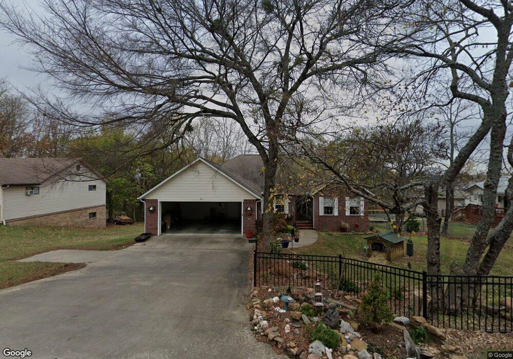
15 N Sycamore Ave West Fork, AR 72774
Estimated Value: $315,000 - $409,000
3
Beds
4
Baths
1,952
Sq Ft
$186/Sq Ft
Est. Value
About This Home
This home is located at 15 N Sycamore Ave, West Fork, AR 72774 and is currently estimated at $362,219, approximately $185 per square foot. 15 N Sycamore Ave is a home located in Washington County with nearby schools including West Fork Elementary School, West Fork Middle School, and West Fork High School.
Ownership History
Date
Name
Owned For
Owner Type
Purchase Details
Closed on
Dec 12, 2006
Sold by
Moore Larry W and Moore Joan
Bought by
Adair Margaret M
Current Estimated Value
Home Financials for this Owner
Home Financials are based on the most recent Mortgage that was taken out on this home.
Original Mortgage
$147,920
Outstanding Balance
$93,677
Interest Rate
7.5%
Mortgage Type
Purchase Money Mortgage
Estimated Equity
$268,542
Purchase Details
Closed on
Aug 9, 2006
Sold by
Boyd Ronald Duane and Boyd Cassi Lea
Bought by
Moore Larry W and Moore Joan
Home Financials for this Owner
Home Financials are based on the most recent Mortgage that was taken out on this home.
Original Mortgage
$60,000
Interest Rate
6.78%
Mortgage Type
Purchase Money Mortgage
Purchase Details
Closed on
Jan 1, 1991
Bought by
Fowler Richard A
Create a Home Valuation Report for This Property
The Home Valuation Report is an in-depth analysis detailing your home's value as well as a comparison with similar homes in the area
Home Values in the Area
Average Home Value in this Area
Purchase History
| Date | Buyer | Sale Price | Title Company |
|---|---|---|---|
| Adair Margaret M | $185,000 | Waco Title Company | |
| Moore Larry W | $60,000 | Waco Title Company | |
| Fowler Richard A | $5,000 | -- |
Source: Public Records
Mortgage History
| Date | Status | Borrower | Loan Amount |
|---|---|---|---|
| Open | Adair Margaret M | $147,920 | |
| Previous Owner | Moore Larry W | $60,000 |
Source: Public Records
Tax History Compared to Growth
Tax History
| Year | Tax Paid | Tax Assessment Tax Assessment Total Assessment is a certain percentage of the fair market value that is determined by local assessors to be the total taxable value of land and additions on the property. | Land | Improvement |
|---|---|---|---|---|
| 2025 | $1,036 | $69,520 | $7,000 | $62,520 |
| 2024 | $1,133 | $69,520 | $7,000 | $62,520 |
| 2023 | $1,217 | $69,520 | $7,000 | $62,520 |
| 2022 | $1,267 | $40,730 | $4,000 | $36,730 |
| 2021 | $1,267 | $40,730 | $4,000 | $36,730 |
| 2020 | $1,267 | $40,730 | $4,000 | $36,730 |
| 2019 | $1,267 | $31,760 | $3,000 | $28,760 |
| 2018 | $1,292 | $31,760 | $3,000 | $28,760 |
| 2017 | $1,245 | $31,760 | $3,000 | $28,760 |
| 2016 | $1,245 | $31,760 | $3,000 | $28,760 |
| 2015 | $1,245 | $31,760 | $3,000 | $28,760 |
| 2014 | $1,245 | $30,920 | $4,000 | $26,920 |
Source: Public Records
Map
Nearby Homes
- 11 N Sycamore Ave
- 212 Redbud Trail
- 345 McGee Rd
- 253 Mckean Ave
- 27 Northwood St
- 106 Pleasant St
- 50 Northwood St
- 121 & 129 Main St
- 19.7 Acres Arkansas 156
- 0000 Highway 170
- 185 Wheeler St
- 302 Mcknight Ave
- 602 N Centennial Ave
- 12730 & 12932 Mineral Springs Wc 30
- 222 Rivendale Dr
- TBD Butterfield Ave
- 340 W Smith St
- Springs 1445 Plan at Rolling Plains
- Eureka 1536 Plan at Rolling Plains
- Oak 1463 Plan at Rolling Plains
- 215 Redbud Trail
- 221 N Redbud Ave
- 221 Redbud Trail
- 22 N Cedar Ave
- 0 Redbud Trail Unit 373686
- 0 Redbud Trail Unit 440273
- 0 Redbud Trail Unit 1167011
- 3 S Sycamore Ave
- 3 N Sycamore Ave
- 26 Cedar Ave
- 20 Cedar Ave
- 23 N Redbud Ave
- 16 N Cedar Ave
- 12 Cedar Ave
- 41 N Cedar Ave
- 6 S Sycamore Ave
- 0 Cedar Ave Unit 347796
- 0 Cedar St Unit 280869
- 0 Cedar St Unit 280874