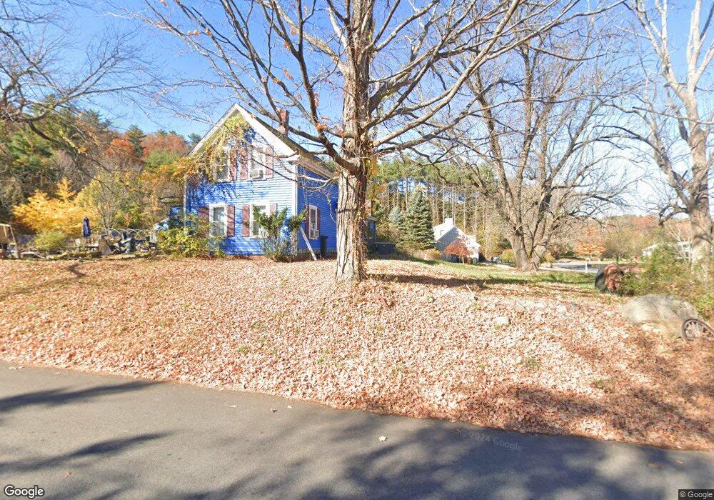
15 Newton Rd Amesbury, MA 01913
Estimated Value: $574,751 - $721,000
3
Beds
2
Baths
1,429
Sq Ft
$438/Sq Ft
Est. Value
About This Home
This home is located at 15 Newton Rd, Amesbury, MA 01913 and is currently estimated at $625,438, approximately $437 per square foot. 15 Newton Rd is a home located in Essex County with nearby schools including Amesbury High School and Amesbury Seventh-Day Adventist School.
Ownership History
Date
Name
Owned For
Owner Type
Purchase Details
Closed on
Apr 16, 2009
Sold by
Ineson David A and Ineson Barbara A
Bought by
Ineson David A
Current Estimated Value
Purchase Details
Closed on
Jun 14, 1993
Sold by
Hume Richard B and Hume Linda
Bought by
Ineson David A and Ineson Barbara
Home Financials for this Owner
Home Financials are based on the most recent Mortgage that was taken out on this home.
Original Mortgage
$140,600
Interest Rate
7.41%
Mortgage Type
Purchase Money Mortgage
Create a Home Valuation Report for This Property
The Home Valuation Report is an in-depth analysis detailing your home's value as well as a comparison with similar homes in the area
Home Values in the Area
Average Home Value in this Area
Purchase History
| Date | Buyer | Sale Price | Title Company |
|---|---|---|---|
| Ineson David A | -- | -- | |
| Ineson David A | $146,000 | -- |
Source: Public Records
Mortgage History
| Date | Status | Borrower | Loan Amount |
|---|---|---|---|
| Previous Owner | Ineson David A | $150,000 | |
| Previous Owner | Ineson David A | $140,600 | |
| Previous Owner | Ineson David A | $90,000 | |
| Previous Owner | Ineson David A | $36,000 |
Source: Public Records
Tax History Compared to Growth
Tax History
| Year | Tax Paid | Tax Assessment Tax Assessment Total Assessment is a certain percentage of the fair market value that is determined by local assessors to be the total taxable value of land and additions on the property. | Land | Improvement |
|---|---|---|---|---|
| 2025 | $8,008 | $523,400 | $290,100 | $233,300 |
| 2024 | $7,610 | $486,600 | $273,600 | $213,000 |
| 2023 | $8,846 | $450,800 | $237,800 | $213,000 |
| 2022 | $8,164 | $384,400 | $206,900 | $177,500 |
| 2021 | $7,468 | $347,100 | $159,900 | $187,200 |
| 2020 | $6,717 | $327,600 | $153,800 | $173,800 |
| 2019 | $6,736 | $310,600 | $153,800 | $156,800 |
| 2018 | $6,741 | $291,200 | $146,400 | $144,800 |
| 2017 | $6,585 | $271,300 | $146,400 | $124,900 |
| 2016 | $5,401 | $266,300 | $146,400 | $119,900 |
| 2015 | $5,347 | $260,300 | $146,400 | $113,900 |
| 2014 | $5,230 | $249,400 | $146,400 | $103,000 |
Source: Public Records
Map
Nearby Homes
- 1 Tuxbury Ln
- 152 Kimball Rd
- 4 Acadia Kimball Rd
- 1 Acadia Kimball Rd Unit 1
- 20 Mason Ct
- 10 Mason Ct Unit 10
- 22 Jewell St
- 2 Alnette Rd
- 4 Woodsom Dr
- 3 Greystone Rd
- 16 Glen Devin St
- 188 Lions Mouth Rd
- 5 Moncrief St Unit 5
- 8 Old County Rd
- 21 Currier St
- 31 Whitter Meadows Dr Unit 31
- 129 Friend St
- 160 Haverhill Rd
- 2 Locke Hill Ln
- 48 Orchard St
- 16 Newton Rd
- 3 W Whitehall Rd
- Lot 3 W Whitehall Rd
- 17 Newton Rd
- 2 W Whitehall Rd
- 2 W Whitehall Rd Unit 2
- 19 Newton Rd
- 5 W Whitehall Rd
- 7 W Whitehall Rd
- 25 Newton Rd
- 4 W Whitehall Rd
- 10 Newton Rd
- 8 W Whitehall Rd
- 27 Newton Rd
- 9 W Whitehall Rd
- 9 1/2 W Whitehall Rd
- 8 Newton Rd
- 29 Newton Rd
- 10 W Whitehall Rd
- 3 Country Ln