15 Nichols Rd Nantucket, MA 02554
Estimated Value: $2,984,000 - $3,583,000
About This Home
This home is located at 15 Nichols Rd, Nantucket, MA 02554 and is currently estimated at $3,359,902, approximately $1,527 per square foot. 15 Nichols Rd is a home with nearby schools including Nantucket Elementary School, Cyrus Peirce Middle School, and Nantucket High School.
Ownership History
We collect this data history from publicly available records. To have your information removed, we recommend requesting removal directly through your county’s website.
Purchase Details
Purchase Details
Home Financials for this Owner
Home Financials are based on the most recent Mortgage that was taken out on this home.Purchase Details
Home Values in the Area
Average Home Value in this Area
Purchase History
We collect this data history from publicly available records. To have your information removed, we recommend requesting removal directly through your county’s website.
| Date | Buyer | Sale Price | Title Company |
|---|---|---|---|
| -- | -- | ||
| $328,500 | -- | ||
| $70,000 | -- |
Mortgage History
We collect this data history from publicly available records. To have your information removed, we recommend requesting removal directly through your county’s website.
| Date | Status | Borrower | Loan Amount |
|---|---|---|---|
| Previous Owner | $246,375 |
Tax History
We collect this data history from publicly available records. To have your information removed, we recommend requesting removal directly through your county’s website.
| Year | Tax Paid | Tax Assessment Tax Assessment Total Assessment is a certain percentage of the fair market value that is determined by local assessors to be the total taxable value of land and additions on the property. | Land | Improvement |
|---|---|---|---|---|
| 2025 | $7,472 | $2,277,900 | $1,355,500 | $922,400 |
| 2024 | $7,089 | $2,264,900 | $1,355,500 | $909,400 |
| 2023 | $6,289 | $1,959,200 | $1,291,200 | $668,000 |
| 2022 | $6,091 | $1,628,600 | $1,129,800 | $498,800 |
| 2021 | $5,912 | $1,628,600 | $1,129,800 | $498,800 |
| 2020 | $4,966 | $1,439,400 | $914,600 | $524,800 |
| 2019 | $4,836 | $1,439,400 | $914,600 | $524,800 |
| 2018 | $4,898 | $1,387,400 | $914,600 | $472,800 |
| 2017 | $4,522 | $1,334,000 | $874,200 | $459,800 |
| 2016 | $3,939 | $1,172,300 | $739,700 | $432,600 |
| 2015 | $3,893 | $1,078,500 | $666,300 | $412,200 |
| 2014 | $4,055 | $1,078,500 | $666,300 | $412,200 |
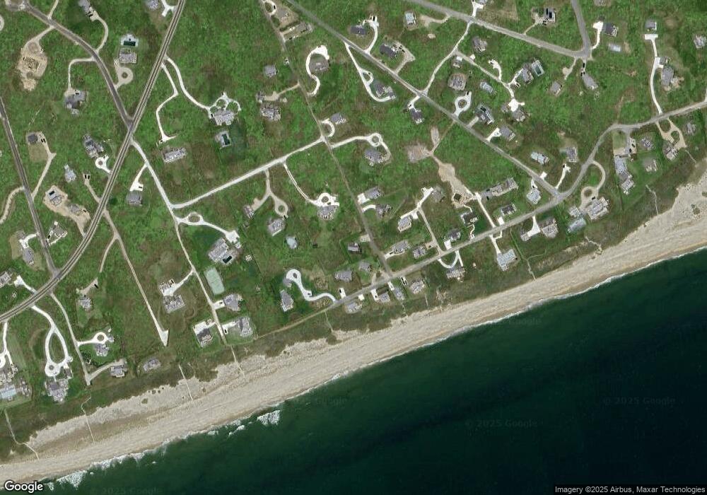
Map
- 19 Wanoma Way
- 5 Surrey Ave
- 30 Wanoma Way
- 34 Bosworth Rd
- 32 Old Tom Nevers Rd
- 6 Sandsbury Rd
- 1 Reeds Way
- 42 Chuck Hollow Rd
- 4 Flintlock Rd
- 105 Low Beach Rd
- 14 Flintlock Rd
- 13 Parson Ln
- 7 Sandpiper Way
- 27 Longwood Dr
- 1 Arlington St
- 3 Whitetail Cir
- 40 Low Beach Rd
- 318 Milestone Rd
- 47 Morey Ln
- 9 Carew Ln
- 16 Wanoma Way
- 12 Wanoma Way
- 14 Nichols Rd
- 18 Nichols Rd
- 7 Surrey Ave
- 7 Mayhew Ln
- 20 Wanoma Way
- 7 Mayhew Rd
- 15 Wanoma Way
- 28 Wanoma Way (10 Mayhew Road)
- 12 Nichols Rd
- 24 Wanoma Way
- 11 + 13 Wanoma Way
- 21 Wanoma Way
- 10 Nichols Rd
- 10 Mayhew Rd
- 10 Mayhew Ln
- 10 Mayhew Ln
- 27 Bosworth Road 15 Lyford Road and 3 Wanoma Way
- 27 Wanoma Way
Ask me questions while you tour the home.