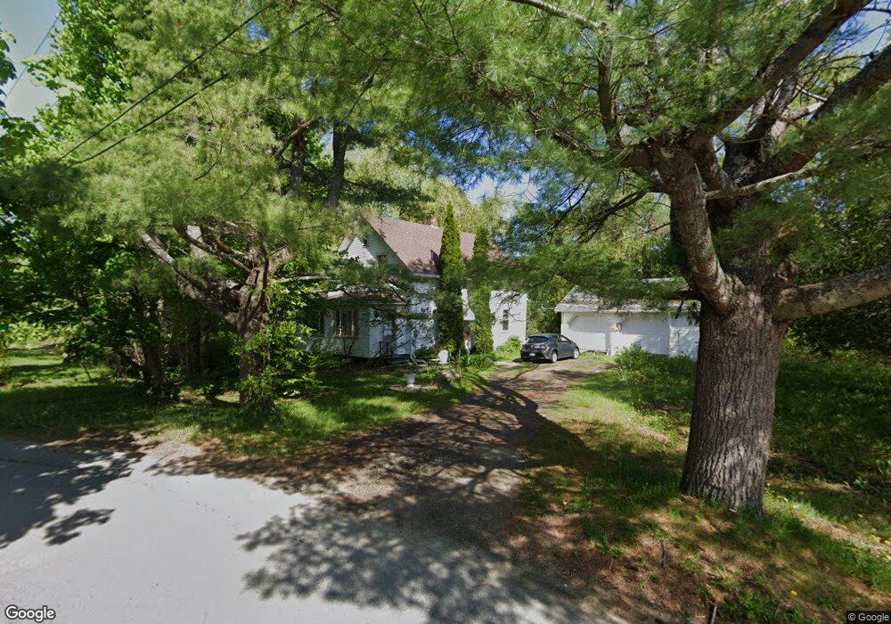
15 North St Thomaston, ME 04861
Estimated Value: $259,000 - $389,000
3
Beds
1
Bath
1,349
Sq Ft
$232/Sq Ft
Est. Value
About This Home
This home is located at 15 North St, Thomaston, ME 04861 and is currently estimated at $312,743, approximately $231 per square foot. 15 North St is a home located in Knox County with nearby schools including Thomaston Grammar School, Oceanside High School East, and Midcoast STEAM Microschool.
Ownership History
Date
Name
Owned For
Owner Type
Purchase Details
Closed on
Jun 11, 2007
Sold by
Day Basil and Day Barbara B
Bought by
Eberle William
Current Estimated Value
Home Financials for this Owner
Home Financials are based on the most recent Mortgage that was taken out on this home.
Original Mortgage
$133,000
Outstanding Balance
$61,371
Interest Rate
6.17%
Mortgage Type
Commercial
Estimated Equity
$251,372
Create a Home Valuation Report for This Property
The Home Valuation Report is an in-depth analysis detailing your home's value as well as a comparison with similar homes in the area
Home Values in the Area
Average Home Value in this Area
Purchase History
We collect this data history from publicly available records. To have your information removed, we recommend requesting removal directly through your county’s website.
| Date | Buyer | Sale Price | Title Company |
|---|---|---|---|
| Eberle William | -- | -- | |
| Eberle William C | -- | -- |
Source: Public Records
Mortgage History
We collect this data history from publicly available records. To have your information removed, we recommend requesting removal directly through your county’s website.
| Date | Status | Borrower | Loan Amount |
|---|---|---|---|
| Open | Eberle William C | $133,000 | |
| Closed | Eberle William | $133,000 |
Source: Public Records
Tax History
| Year | Tax Paid | Tax Assessment Tax Assessment Total Assessment is a certain percentage of the fair market value that is determined by local assessors to be the total taxable value of land and additions on the property. | Land | Improvement |
|---|---|---|---|---|
| 2025 | $4,203 | $188,900 | $51,400 | $137,500 |
| 2024 | $3,778 | $188,900 | $51,400 | $137,500 |
| 2023 | $3,569 | $188,843 | $51,361 | $137,482 |
| 2022 | $2,781 | $127,464 | $51,361 | $76,103 |
| 2021 | $2,744 | $127,464 | $51,361 | $76,103 |
| 2020 | $2,808 | $127,464 | $51,361 | $76,103 |
| 2019 | $2,851 | $127,669 | $51,566 | $76,103 |
| 2018 | $2,672 | $127,669 | $51,566 | $76,103 |
| 2017 | $2,477 | $127,669 | $51,566 | $76,103 |
| 2016 | $2,385 | $127,669 | $51,566 | $76,103 |
| 2015 | $2,302 | $127,669 | $51,566 | $76,103 |
| 2014 | $2,107 | $126,644 | $50,541 | $76,103 |
| 2013 | $2,120 | $126,644 | $50,541 | $76,103 |
Source: Public Records
Map
Nearby Homes
- 21 Georges St
- 22 Booker St
- 18 Booker St
- 482 Main St
- 15 Wadsworth St
- 7 Watts Ln
- 145 Main St
- 26 Clark St
- 52 Main St
- 102 Beechwood St
- 104 Beechwood St
- 27 Lawrence Ave
- 117 Beechwood St
- 76 Fish St
- 000 Atlantic Highway Map 4 Lot 24
- 360 Cushing Rd
- 46 Cedar Dr
- 1232 Oyster River Rd
- 111 Ledge Rd
- 71 Woodland Ave
Your Personal Tour Guide
Ask me questions while you tour the home.