15 Oak Bluff Dr Crossroads, TX 76227
Estimated Value: $643,000 - $668,000
3
Beds
3
Baths
2,164
Sq Ft
$302/Sq Ft
Est. Value
About This Home
This home is located at 15 Oak Bluff Dr, Crossroads, TX 76227 and is currently estimated at $654,221, approximately $302 per square foot. 15 Oak Bluff Dr is a home located in Denton County with nearby schools including HL Brockett Elementary School, Aubrey Middle School, and Aubrey High School.
Ownership History
Date
Name
Owned For
Owner Type
Purchase Details
Closed on
Feb 6, 2015
Sold by
Morrison Susanne
Bought by
Merrill Tom and Merrill Cheryl
Current Estimated Value
Purchase Details
Closed on
Sep 14, 2007
Sold by
Rutter Melvin E and Rutter Peggy S
Bought by
Morrison Susanne
Purchase Details
Closed on
Jul 23, 2004
Sold by
Gribaudo Charles A and Gribaudo Gloria
Bought by
Rutter Melvin E and Rutter Peggy S
Home Financials for this Owner
Home Financials are based on the most recent Mortgage that was taken out on this home.
Original Mortgage
$196,000
Interest Rate
2.75%
Mortgage Type
Purchase Money Mortgage
Create a Home Valuation Report for This Property
The Home Valuation Report is an in-depth analysis detailing your home's value as well as a comparison with similar homes in the area
Home Values in the Area
Average Home Value in this Area
Purchase History
| Date | Buyer | Sale Price | Title Company |
|---|---|---|---|
| Merrill Tom | -- | Chicago Title | |
| Morrison Susanne | -- | Capital Title | |
| Rutter Melvin E | -- | Fnt |
Source: Public Records
Mortgage History
| Date | Status | Borrower | Loan Amount |
|---|---|---|---|
| Previous Owner | Rutter Melvin E | $196,000 |
Source: Public Records
Tax History Compared to Growth
Tax History
| Year | Tax Paid | Tax Assessment Tax Assessment Total Assessment is a certain percentage of the fair market value that is determined by local assessors to be the total taxable value of land and additions on the property. | Land | Improvement |
|---|---|---|---|---|
| 2025 | $2,116 | $563,679 | $114,375 | $590,625 |
| 2024 | $7,395 | $512,435 | $0 | $0 |
| 2023 | $2,124 | $465,850 | $101,250 | $481,123 |
| 2022 | $7,032 | $423,500 | $101,625 | $439,184 |
| 2021 | $6,675 | $429,341 | $101,625 | $327,716 |
| 2020 | $6,278 | $350,000 | $79,875 | $270,125 |
| 2019 | $6,766 | $372,680 | $79,875 | $326,127 |
| 2018 | $5,922 | $338,800 | $79,875 | $304,424 |
| 2017 | $5,416 | $308,000 | $79,875 | $264,755 |
| 2016 | $4,924 | $280,000 | $55,500 | $224,500 |
| 2015 | $4,851 | $297,133 | $77,700 | $219,433 |
| 2013 | -- | $275,590 | $51,000 | $224,590 |
Source: Public Records
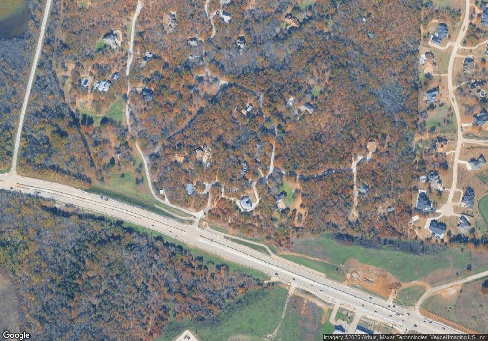
Map
Nearby Homes
- 1450 Woodland Dr
- 1810 Woodland Dr
- 1090 Stone Trail Ln
- 1751 Spring Mountain Rd
- 7933 Mountain View Rd
- TBD Mountain View Rd
- 2301 Moseley Rd
- 7583 Mountain View Rd
- TBD U S 380
- 6565 Rockridge Trail
- 5167 Rockhill Rd
- 7200 US Highway 380
- 8400 U S 380 Unit Lot-2
- 3241 New Hope Rd
- 615 Mare Dr
- 607 Mare Dr
- 635 Mare Dr
- 8400 Us Highway 380 Lot 1
- 6000 Fishtrap Rd
- 10312 Arvin Hill Rd
- 2 Oak Bluff Dr
- 0 Oak Bluff Dr Unit 13200555
- 25 Oak Bluff Dr
- 11 Oak Bluff Dr
- 10 Oak Bluff Dr
- 5 Oak Bluff Dr
- 35 Oak Bluff Dr
- 0000 Meadowcreek Dr
- TBD Oak Bluff Dr
- 205 Meadow Creek Dr
- TBD Mesquite Ridge
- 1 Oak Bluff Dr
- 205 Meadowcreek Dr
- 20 Oak Bluff Dr
- TBD E Us 380 & Mosely Swc Rd
- 2400 E Us 380 & Mosely Swc Rd
- 200 Oak Bluff Dr
- 00 Mesquite Ridge
- 0000 Mesquite Ridge
- 000 Mesquite Ridge