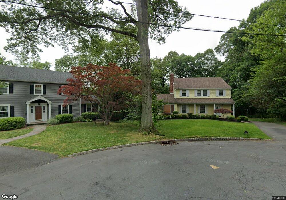
15 Oak Forest Ln Summit, NJ 07901
Estimated Value: $1,170,000 - $1,344,000
--
Bed
--
Bath
2,046
Sq Ft
$600/Sq Ft
Est. Value
About This Home
This home is located at 15 Oak Forest Ln, Summit, NJ 07901 and is currently estimated at $1,227,264, approximately $599 per square foot. 15 Oak Forest Ln is a home located in Union County with nearby schools including L C Johnson Summit Middle School, Summit Sr High School, and Oak Knoll School of the Holy Child.
Ownership History
Date
Name
Owned For
Owner Type
Purchase Details
Closed on
Nov 15, 2006
Sold by
Richmond Robin L
Bought by
Manghisi Frank J
Current Estimated Value
Home Financials for this Owner
Home Financials are based on the most recent Mortgage that was taken out on this home.
Original Mortgage
$350,000
Interest Rate
6.24%
Mortgage Type
New Conventional
Purchase Details
Closed on
Jun 15, 1998
Sold by
Michelsen Martha R and Leonard Martha R
Bought by
Richmond Robin L
Home Financials for this Owner
Home Financials are based on the most recent Mortgage that was taken out on this home.
Original Mortgage
$225,000
Interest Rate
7.04%
Create a Home Valuation Report for This Property
The Home Valuation Report is an in-depth analysis detailing your home's value as well as a comparison with similar homes in the area
Home Values in the Area
Average Home Value in this Area
Purchase History
| Date | Buyer | Sale Price | Title Company |
|---|---|---|---|
| Manghisi Frank J | $660,000 | -- | |
| Richmond Robin L | $365,000 | First American Title Ins Co |
Source: Public Records
Mortgage History
| Date | Status | Borrower | Loan Amount |
|---|---|---|---|
| Previous Owner | Manghisi Frank J | $350,000 | |
| Previous Owner | Richmond Robin L | $225,000 |
Source: Public Records
Tax History Compared to Growth
Tax History
| Year | Tax Paid | Tax Assessment Tax Assessment Total Assessment is a certain percentage of the fair market value that is determined by local assessors to be the total taxable value of land and additions on the property. | Land | Improvement |
|---|---|---|---|---|
| 2025 | $13,068 | $300,000 | $233,800 | $66,200 |
| 2024 | $12,981 | $300,000 | $233,800 | $66,200 |
| 2023 | $12,981 | $300,000 | $233,800 | $66,200 |
| 2022 | $12,951 | $300,000 | $233,800 | $66,200 |
| 2021 | $12,951 | $300,000 | $233,800 | $66,200 |
| 2020 | $13,080 | $300,000 | $233,800 | $66,200 |
| 2019 | $13,095 | $300,000 | $233,800 | $66,200 |
| 2018 | $13,011 | $300,000 | $233,800 | $66,200 |
| 2017 | $13,095 | $300,000 | $233,800 | $66,200 |
| 2016 | $12,903 | $300,000 | $233,800 | $66,200 |
| 2015 | $12,651 | $300,000 | $233,800 | $66,200 |
| 2014 | $12,324 | $300,000 | $233,800 | $66,200 |
Source: Public Records
Map
Nearby Homes
- 62 Beekman Rd
- 709 Springfield Ave Unit 4
- 709 Springfield Ave Unit 3
- 27 Beekman Rd
- 215 Kent Place Blvd
- 166 Colonial Rd
- 172 Colonial Rd
- 25 Division Ave
- 24 Gates Ave Unit A
- 67-75 New England Ave Unit 67D
- 50 New England Ave Unit C
- 67 Laurel Dr
- 146 Riveredge Dr
- 412 Morris Ave Unit 17
- 55 River Rd
- 175 Terrace Dr
- 110 Division Ave
- 14A Kensington Rd Unit A
- 240 Riveredge Dr
- 67 Tulip St