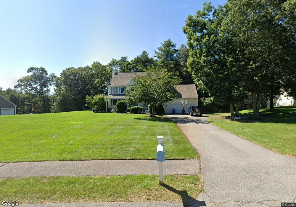
15 Oak Ridge Dr Wrentham, MA 02093
Estimated Value: $756,000 - $940,000
4
Beds
3
Baths
2,284
Sq Ft
$371/Sq Ft
Est. Value
About This Home
This home is located at 15 Oak Ridge Dr, Wrentham, MA 02093 and is currently estimated at $847,616, approximately $371 per square foot. 15 Oak Ridge Dr is a home located in Norfolk County with nearby schools including Delaney Elementary School, Charles E Roderick, and The Sage School.
Ownership History
Date
Name
Owned For
Owner Type
Purchase Details
Closed on
Jan 22, 2001
Sold by
Wrentham Woods Llc
Bought by
Ocallaghan Thomas W and Ocallaghan Mary B
Current Estimated Value
Home Financials for this Owner
Home Financials are based on the most recent Mortgage that was taken out on this home.
Original Mortgage
$252,700
Outstanding Balance
$93,102
Interest Rate
7.52%
Mortgage Type
Purchase Money Mortgage
Estimated Equity
$754,514
Create a Home Valuation Report for This Property
The Home Valuation Report is an in-depth analysis detailing your home's value as well as a comparison with similar homes in the area
Home Values in the Area
Average Home Value in this Area
Purchase History
| Date | Buyer | Sale Price | Title Company |
|---|---|---|---|
| Ocallaghan Thomas W | $317,978 | -- |
Source: Public Records
Mortgage History
| Date | Status | Borrower | Loan Amount |
|---|---|---|---|
| Open | Ocallaghan Thomas W | $252,700 |
Source: Public Records
Tax History Compared to Growth
Tax History
| Year | Tax Paid | Tax Assessment Tax Assessment Total Assessment is a certain percentage of the fair market value that is determined by local assessors to be the total taxable value of land and additions on the property. | Land | Improvement |
|---|---|---|---|---|
| 2025 | $8,703 | $750,900 | $325,700 | $425,200 |
| 2024 | $8,350 | $695,800 | $325,700 | $370,100 |
| 2023 | $8,024 | $635,800 | $296,000 | $339,800 |
| 2022 | $7,229 | $528,800 | $227,800 | $301,000 |
| 2021 | $7,254 | $515,600 | $238,600 | $277,000 |
| 2020 | $7,320 | $513,700 | $215,200 | $298,500 |
| 2019 | $7,294 | $516,600 | $231,700 | $284,900 |
| 2018 | $6,966 | $489,200 | $232,000 | $257,200 |
| 2017 | $6,810 | $477,900 | $227,500 | $250,400 |
| 2016 | $6,702 | $469,300 | $220,900 | $248,400 |
| 2015 | $6,125 | $408,900 | $182,100 | $226,800 |
| 2014 | $6,061 | $395,900 | $175,100 | $220,800 |
Source: Public Records
Map
Nearby Homes
- 483 Thurston St
- 120 Hawes St
- 65 Pond St
- 80 Mill St
- 362 East St
- 319 Taunton St
- 11 Goodwin Dr
- 1 Lorraine Metcalf Dr
- 9 Oak Dr
- 16 Treasure Island Rd
- 25 Foxboro Rd
- 406 South St
- 270 Dedham St
- 10 Nature View Dr
- 15 Nature View Dr
- 160 Washington St Unit 36
- 126 Washington St
- 130 Washington St
- 124 Washington St
- 158 Washington St
- 25 Oak Ridge Dr
- 5 Old Quarry Rd
- 10 High Point Way
- 545 Thurston St
- 10 Oak Ridge Dr
- 10 Oak Ridge Dr Unit 1
- 535 Thurston St
- 35 Oak Ridge Dr
- 10 Old Quarry Rd
- 15 Old Quarry Rd
- 45 Oak Ridge Dr
- 20 High Point Way
- 20 Old Quarry Rd
- 20 Old Quarry Rd Unit 1
- 524 Thurston St
- 20 Oak Ridge Dr
- 30 Old Quarry Rd
- 565 Thurston St
- 55 Oak Ridge Dr
- 15 High Point Way