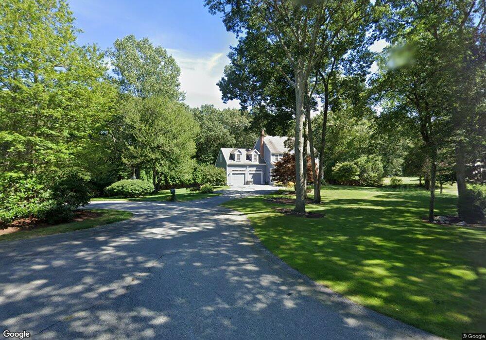
15 Oak Ridge Ln Westport, MA 02790
Brownell/Giffords Corner NeighborhoodEstimated Value: $752,814 - $968,000
4
Beds
3
Baths
2,304
Sq Ft
$373/Sq Ft
Est. Value
About This Home
This home is located at 15 Oak Ridge Ln, Westport, MA 02790 and is currently estimated at $859,204, approximately $372 per square foot. 15 Oak Ridge Ln is a home located in Bristol County with nearby schools including Alice A. Macomber Primary School, Westport Elementary School, and Westport Middle-High School.
Ownership History
Date
Name
Owned For
Owner Type
Purchase Details
Closed on
Sep 4, 2013
Sold by
Voss Wolf H and Voss Pauline C
Bought by
Lecomte Shawn H and Lecomte Heidi G
Current Estimated Value
Home Financials for this Owner
Home Financials are based on the most recent Mortgage that was taken out on this home.
Original Mortgage
$400,000
Outstanding Balance
$297,783
Interest Rate
4.34%
Mortgage Type
New Conventional
Estimated Equity
$561,421
Purchase Details
Closed on
Sep 9, 1996
Sold by
165 Cw T
Bought by
Voss Pauline C and Voss Wolf H
Home Financials for this Owner
Home Financials are based on the most recent Mortgage that was taken out on this home.
Original Mortgage
$155,000
Interest Rate
8.11%
Mortgage Type
Purchase Money Mortgage
Create a Home Valuation Report for This Property
The Home Valuation Report is an in-depth analysis detailing your home's value as well as a comparison with similar homes in the area
Home Values in the Area
Average Home Value in this Area
Purchase History
| Date | Buyer | Sale Price | Title Company |
|---|---|---|---|
| Lecomte Shawn H | $430,000 | -- | |
| Voss Pauline C | $195,400 | -- |
Source: Public Records
Mortgage History
| Date | Status | Borrower | Loan Amount |
|---|---|---|---|
| Open | Lecomte Shawn H | $400,000 | |
| Previous Owner | Voss Pauline C | $110,000 | |
| Previous Owner | Voss Pauline C | $155,000 |
Source: Public Records
Tax History Compared to Growth
Tax History
| Year | Tax Paid | Tax Assessment Tax Assessment Total Assessment is a certain percentage of the fair market value that is determined by local assessors to be the total taxable value of land and additions on the property. | Land | Improvement |
|---|---|---|---|---|
| 2025 | $4,176 | $560,600 | $195,100 | $365,500 |
| 2024 | $4,158 | $537,900 | $180,800 | $357,100 |
| 2023 | $4,052 | $496,600 | $158,400 | $338,200 |
| 2022 | $3,880 | $457,600 | $158,400 | $299,200 |
| 2021 | $3,688 | $427,800 | $144,000 | $283,800 |
| 2020 | $3,558 | $422,100 | $138,300 | $283,800 |
| 2019 | $3,153 | $381,200 | $126,300 | $254,900 |
| 2018 | $3,617 | $442,700 | $165,300 | $277,400 |
| 2017 | $3,509 | $440,300 | $165,300 | $275,000 |
| 2016 | $3,089 | $390,500 | $165,300 | $225,200 |
| 2015 | $2,989 | $376,900 | $169,000 | $207,900 |
Source: Public Records
Map
Nearby Homes
- 118 Charlotte White Rd
- 8 Strawberry Ln
- 6 Angel Ct
- 118 Charlotte White Rd Extension
- 0 Hidden Glen Ln
- 978 Sodom Rd
- Lot 0 Marcotte
- 4 Main Rd
- 47 Fallon Dr
- 218 American Legion Hwy
- 15 Village Way
- 7 Village Way
- 8 Village Way
- 308 Robert St
- 47 Robert St
- 40 Robert St
- 771 Sanford Rd
- 837 Main Rd
- 47 Devol Ave
- 33 Moniz Dr
- 15 Oakridge Ln
- 7 Oakridge Ln
- 19 Oakridge Ln
- 14 Oakridge Ln
- 14 Oak Ridge Ln
- 8 Oakridge Ln
- 165 Charlotte White Rd
- 38 Shannon Dr
- 32 Shannon Dr
- 26 Shannon Dr
- 2 Oakridge Ln
- 1 Oak Ridge Ln
- 1 Oakridge Ln
- 9 Morning Dove Dr
- 20 Shannon Dr
- 44 Shannon Dr
- 14 Shannon Dr
- 1 Morning Dove Dr
- 181 Charlotte White Rd
- 8 Shannon Dr