15 Oakmont Ln Far Hills, NJ 07931
Estimated Value: $1,959,989 - $2,124,000
--
Bed
--
Bath
4,764
Sq Ft
$429/Sq Ft
Est. Value
About This Home
This home is located at 15 Oakmont Ln, Far Hills, NJ 07931 and is currently estimated at $2,041,995, approximately $428 per square foot. 15 Oakmont Ln is a home located in Somerset County with nearby schools including Oak Street Elementary School, William Annin Middle School, and Ridge High School.
Ownership History
Date
Name
Owned For
Owner Type
Purchase Details
Closed on
Aug 4, 2025
Sold by
Boudreau Wendy Lee
Bought by
Boudreau Wendy Lee and Morrissey Michael
Current Estimated Value
Home Financials for this Owner
Home Financials are based on the most recent Mortgage that was taken out on this home.
Original Mortgage
$248,000
Outstanding Balance
$247,510
Interest Rate
6.77%
Mortgage Type
New Conventional
Estimated Equity
$1,794,485
Purchase Details
Closed on
Nov 20, 1995
Sold by
Ravenswood Dev
Bought by
Boyce Wendy
Home Financials for this Owner
Home Financials are based on the most recent Mortgage that was taken out on this home.
Original Mortgage
$500,000
Interest Rate
7.37%
Create a Home Valuation Report for This Property
The Home Valuation Report is an in-depth analysis detailing your home's value as well as a comparison with similar homes in the area
Home Values in the Area
Average Home Value in this Area
Purchase History
| Date | Buyer | Sale Price | Title Company |
|---|---|---|---|
| Boudreau Wendy Lee | -- | None Listed On Document | |
| Boudreau Wendy Lee | -- | None Listed On Document | |
| Boyce Wendy | $661,995 | -- |
Source: Public Records
Mortgage History
| Date | Status | Borrower | Loan Amount |
|---|---|---|---|
| Open | Boudreau Wendy Lee | $248,000 | |
| Closed | Boudreau Wendy Lee | $248,000 | |
| Previous Owner | Boyce Wendy | $500,000 |
Source: Public Records
Tax History Compared to Growth
Tax History
| Year | Tax Paid | Tax Assessment Tax Assessment Total Assessment is a certain percentage of the fair market value that is determined by local assessors to be the total taxable value of land and additions on the property. | Land | Improvement |
|---|---|---|---|---|
| 2025 | $27,863 | $1,576,200 | $419,000 | $1,157,200 |
| 2024 | $27,863 | $1,566,200 | $419,000 | $1,147,200 |
| 2023 | $26,008 | $1,379,000 | $383,000 | $996,000 |
| 2022 | $25,081 | $1,247,200 | $383,000 | $864,200 |
| 2021 | $26,525 | $1,257,100 | $383,000 | $874,100 |
| 2020 | $25,777 | $1,231,000 | $383,000 | $848,000 |
| 2019 | $26,348 | $1,295,400 | $383,000 | $912,400 |
| 2018 | $27,005 | $1,346,900 | $434,500 | $912,400 |
| 2017 | $28,437 | $1,429,700 | $453,500 | $976,200 |
| 2016 | $28,112 | $1,440,900 | $453,500 | $987,400 |
| 2015 | $27,619 | $1,441,500 | $443,100 | $998,400 |
| 2014 | $27,016 | $1,396,900 | $443,100 | $953,800 |
Source: Public Records
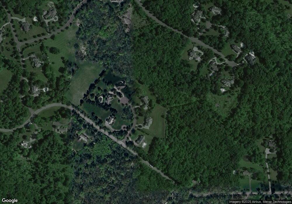
Map
Nearby Homes
- 19 Emily Rd
- 92 Whitenack Rd
- 23 Charlotte Hill Dr
- 570 Mine Brook Rd
- 365 Mine Brook Rd
- 496 Mine Brook Rd
- 12 Wayne Terrace
- 453 Mine Brook Rd
- 20 Whitaker Ln
- 209 Lake Rd
- 71 Mount Harmony Rd
- 101 Rippling Brook Way
- 12 Tamarisk Ct
- 63 Charles Rd
- 133 Rippling Brook Way
- 234 Liberty Corner Rd
- 136 2 Mount Harmony Rd
- 213 Liberty Corner Rd
- 211 Private Rd
- 180 Roundtop Rd
- 11 Oakmont Ln
- 21 Oakmont Ln
- 20 Oakmont Ln
- 9 Oakmont Ln
- 10 Oakmont Ln
- 150 Whitenack Rd
- 206 Whitenack Rd
- 91 Canoe Brook Ln
- 245 Whitenack Rd
- 101 Canoe Brook Ln
- 107 Canoe Brook Ln
- 265 Whitenack Rd
- 200 Whitenack Rd
- 6 Pine Valley Ct
- 203 Whitenack Rd
- 104 Canoe Brook Ln
- 49 Canoe Brook Ln
- 62 Canoe Brook Ln
- 7 Pine Valley Ct
- 11 Baltusrol Way