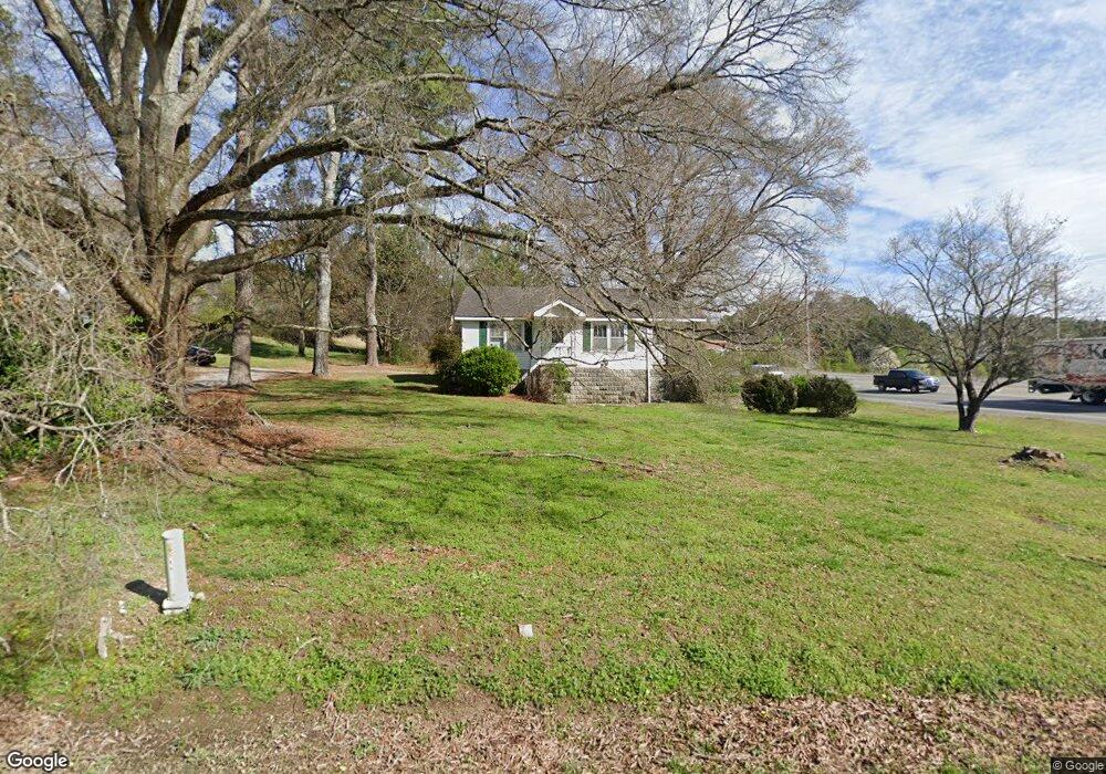
15 Old Highway 27 Rock Spring, GA 30739
Rock Spring NeighborhoodEstimated Value: $161,398 - $238,000
--
Bed
1
Bath
1,108
Sq Ft
$183/Sq Ft
Est. Value
About This Home
This home is located at 15 Old Highway 27, Rock Spring, GA 30739 and is currently estimated at $202,600, approximately $182 per square foot. 15 Old Highway 27 is a home located in Walker County with nearby schools including Lafayette High School and Alice M Daley Adventist School.
Ownership History
Date
Name
Owned For
Owner Type
Purchase Details
Closed on
Jul 12, 2024
Sold by
Shields Kitts Nancy
Bought by
Willards Investment Group Llc
Current Estimated Value
Purchase Details
Closed on
Aug 5, 1994
Sold by
Mcgill Charles R and Mcgill Elizabeth
Bought by
Kitts Nancy Shields
Purchase Details
Closed on
May 10, 1994
Bought by
Mcgill Elizabeth K
Create a Home Valuation Report for This Property
The Home Valuation Report is an in-depth analysis detailing your home's value as well as a comparison with similar homes in the area
Home Values in the Area
Average Home Value in this Area
Purchase History
| Date | Buyer | Sale Price | Title Company |
|---|---|---|---|
| Willards Investment Group Llc | $85,000 | -- | |
| Kitts Nancy Shields | $44,000 | -- | |
| Mcgill Charles R | $10,000 | -- | |
| Mcgill Elizabeth K | -- | -- |
Source: Public Records
Tax History Compared to Growth
Tax History
| Year | Tax Paid | Tax Assessment Tax Assessment Total Assessment is a certain percentage of the fair market value that is determined by local assessors to be the total taxable value of land and additions on the property. | Land | Improvement |
|---|---|---|---|---|
| 2024 | $1,354 | $59,054 | $7,854 | $51,200 |
| 2023 | $1,287 | $54,618 | $6,234 | $48,384 |
| 2022 | $1,178 | $45,914 | $5,082 | $40,832 |
| 2021 | $921 | $31,501 | $5,082 | $26,419 |
| 2020 | $841 | $27,362 | $5,082 | $22,280 |
| 2019 | $855 | $27,362 | $5,082 | $22,280 |
| 2018 | $724 | $27,362 | $5,082 | $22,280 |
| 2017 | $742 | $24,996 | $5,082 | $19,914 |
| 2016 | $742 | $24,996 | $5,082 | $19,914 |
| 2015 | $678 | $21,044 | $5,088 | $15,956 |
| 2014 | $596 | $21,044 | $5,088 | $15,956 |
| 2013 | $661 | $21,044 | $5,088 | $15,956 |
Source: Public Records
Map
Nearby Homes
- 1902 Long Hollow Rd
- 195 Honeysuckle Dr
- 1476 Arnold Rd
- 1370 Old Highway 27
- 701 Bicentennial Trail
- 59 Honeysuckle Dr
- 1003 Highway N Old 27
- 5602 Georgia 95
- 00 Georgia 95
- 954 Goodson Cir
- 1121 Arnold Rd
- 10180 Us Highway 27
- 36 Pheonix Cir
- 514 Ginger Lake Dr
- 386 Twelve Oaks Dr
- 285 Cooper Rd
- 918 Old Lafayette Rd
- 788 Long Hollow Rd
- 375 Cooper Rd
- 15 Willow Cir
- 15 Us Highway 27
- 8384 N Highway 27
- 8400 N Highway 27
- 47 Kay Conley Rd
- 0 Kay Conley Rd Unit 1170518
- 0 Kay Conley Rd Unit 8258190
- 0 Kay Conley Rd Unit 1276187
- 0 Kay Conley Rd Unit 1270275
- 0 Kay Conley Rd Unit 1260282
- 0 Kay Conley Rd Unit 1251430
- 0 Kay Conley Rd Unit 1229129
- 0 Kay Conley Rd Unit 1 1170518
- 0 Kay Conley Rd Unit 1019617
- 0 Kay Conley Rd Unit 8057594
- 0 Kay Conley Rd Unit 8147753
- 0 Kay Conley Rd Unit 8810455
- 0 Kay Conley Rd Unit 7556556
- 0 Kay Conley Rd Unit 7575362
- 0 Kay Conley Rd Unit 8079666
- 733 Old Highway 27