15 Olson Brook Dr Skowhegan, ME 04976
Estimated Value: $152,000 - $260,000
1
Bed
1
Bath
756
Sq Ft
$260/Sq Ft
Est. Value
About This Home
This home is located at 15 Olson Brook Dr, Skowhegan, ME 04976 and is currently estimated at $196,293, approximately $259 per square foot. 15 Olson Brook Dr is a home with nearby schools including Creative Children's Academy, Overman Academy, and Faith Baptist Christian School.
Ownership History
Date
Name
Owned For
Owner Type
Purchase Details
Closed on
Mar 26, 2019
Sold by
Skowhegan Town Of
Bought by
Picardi Mira and Picardi Peter J
Current Estimated Value
Purchase Details
Closed on
Oct 30, 2017
Sold by
Pamela J Baker
Bought by
Picardi Peter and Picardi Mira
Home Financials for this Owner
Home Financials are based on the most recent Mortgage that was taken out on this home.
Original Mortgage
$70,000
Interest Rate
3.94%
Purchase Details
Closed on
Aug 21, 2017
Sold by
Picardi Mira and Bolduc Alex K
Bought by
Picardi Peter J and Picardi Mira
Purchase Details
Closed on
Apr 1, 2013
Sold by
Bolduc Hae S
Bought by
Picardi Mira and Bolduc Alex K
Create a Home Valuation Report for This Property
The Home Valuation Report is an in-depth analysis detailing your home's value as well as a comparison with similar homes in the area
Home Values in the Area
Average Home Value in this Area
Purchase History
| Date | Buyer | Sale Price | Title Company |
|---|---|---|---|
| Picardi Mira | -- | -- | |
| Picardi Peter | -- | -- | |
| Picardi Peter J | -- | -- | |
| Picardi Mira | -- | -- |
Source: Public Records
Mortgage History
| Date | Status | Borrower | Loan Amount |
|---|---|---|---|
| Previous Owner | Picardi Peter | $70,000 | |
| Previous Owner | Picardi Peter | -- |
Source: Public Records
Tax History Compared to Growth
Tax History
| Year | Tax Paid | Tax Assessment Tax Assessment Total Assessment is a certain percentage of the fair market value that is determined by local assessors to be the total taxable value of land and additions on the property. | Land | Improvement |
|---|---|---|---|---|
| 2024 | $2,022 | $111,900 | $51,100 | $60,800 |
| 2023 | $1,983 | $111,900 | $51,100 | $60,800 |
| 2022 | $1,724 | $98,600 | $37,800 | $60,800 |
| 2021 | $1,809 | $98,600 | $37,800 | $60,800 |
| 2020 | $1,775 | $98,600 | $37,800 | $60,800 |
| 2019 | $1,700 | $98,600 | $37,800 | $60,800 |
| 2018 | $1,795 | $98,600 | $37,800 | $60,800 |
| 2017 | $1,972 | $98,600 | $37,800 | $60,800 |
| 2016 | $2,066 | $108,500 | $34,300 | $74,200 |
| 2015 | $1,986 | $108,500 | $34,300 | $74,200 |
| 2014 | $1,861 | $108,500 | $34,300 | $74,200 |
| 2013 | $1,779 | $108,500 | $34,300 | $74,200 |
Source: Public Records
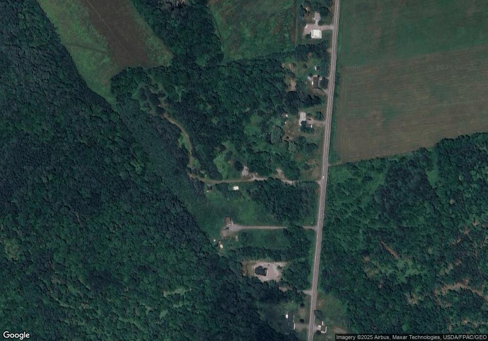
Map
Nearby Homes
- 571 Back Rd
- 573 Back Rd
- 1072 Waterville Rd
- 127 Back Rd
- 918 Waterville Rd
- M14L10 Waterville Rd
- 219 Middle Rd
- 1779 River Rd
- 45 Ledgewood Dr
- 627 Waterville Rd
- 1690 River Rd
- Lot 50 1-7 Bigelow Hill Rd
- 492 E River Rd
- 45B Covell Rd
- #00 Lincolnville Ave
- 377 Bigelow Hill Rd
- 0 N Island Lot
- 445 Waterville Rd
- 790 Norridgewock Rd
- P/O M9 L65 Waterville Rd