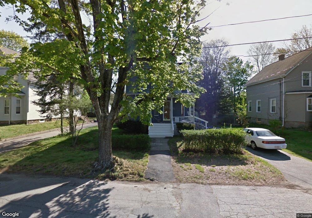
15 Oneida Ave Brockton, MA 02301
Estimated Value: $425,000 - $498,000
3
Beds
1
Bath
1,164
Sq Ft
$392/Sq Ft
Est. Value
About This Home
This home is located at 15 Oneida Ave, Brockton, MA 02301 and is currently estimated at $456,605, approximately $392 per square foot. 15 Oneida Ave is a home located in Plymouth County with nearby schools including Manthala George Jr. School, Louis F Angelo Elementary School, and Hancock Elementary School.
Ownership History
Date
Name
Owned For
Owner Type
Purchase Details
Closed on
May 5, 2005
Sold by
Creney Kevin Joseph
Bought by
Arsenault Brenda and Oleary Humphrey
Current Estimated Value
Home Financials for this Owner
Home Financials are based on the most recent Mortgage that was taken out on this home.
Original Mortgage
$260,000
Outstanding Balance
$137,043
Interest Rate
6.01%
Mortgage Type
Purchase Money Mortgage
Estimated Equity
$319,562
Purchase Details
Closed on
Jul 1, 1994
Sold by
Gallagher T Martha A and Gallagher James L
Bought by
Creney Kevin J and Solakoff-Creney Sheila
Home Financials for this Owner
Home Financials are based on the most recent Mortgage that was taken out on this home.
Original Mortgage
$75,050
Interest Rate
8.55%
Mortgage Type
Purchase Money Mortgage
Create a Home Valuation Report for This Property
The Home Valuation Report is an in-depth analysis detailing your home's value as well as a comparison with similar homes in the area
Purchase History
| Date | Buyer | Sale Price | Title Company |
|---|---|---|---|
| Arsenault Brenda | $260,000 | -- | |
| Creney Kevin J | $79,000 | -- |
Source: Public Records
Mortgage History
| Date | Status | Borrower | Loan Amount |
|---|---|---|---|
| Open | Creney Kevin J | $260,000 | |
| Previous Owner | Creney Kevin J | $30,000 | |
| Previous Owner | Creney Kevin J | $76,550 | |
| Previous Owner | Creney Kevin J | $75,050 |
Source: Public Records
Tax History
| Year | Tax Paid | Tax Assessment Tax Assessment Total Assessment is a certain percentage of the fair market value that is determined by local assessors to be the total taxable value of land and additions on the property. | Land | Improvement |
|---|---|---|---|---|
| 2025 | $5,049 | $416,900 | $143,900 | $273,000 |
| 2024 | $4,919 | $409,200 | $143,900 | $265,300 |
| 2023 | $4,695 | $361,700 | $108,600 | $253,100 |
| 2022 | $4,336 | $310,400 | $98,600 | $211,800 |
| 2021 | $3,860 | $266,200 | $90,900 | $175,300 |
| 2020 | $3,868 | $255,300 | $87,400 | $167,900 |
| 2019 | $3,834 | $246,700 | $80,700 | $166,000 |
| 2018 | $3,573 | $222,500 | $80,700 | $141,800 |
| 2017 | $3,231 | $200,700 | $80,700 | $120,000 |
| 2016 | $3,007 | $173,200 | $73,000 | $100,200 |
| 2015 | $2,468 | $136,000 | $73,000 | $63,000 |
| 2014 | $2,663 | $146,900 | $73,000 | $73,900 |
Source: Public Records
Map
Nearby Homes
- 75 Colonel Bell Dr Unit 77-11
- 81 Colonel Bell Dr Unit 9
- 97 Colonel Bell Dr Unit 8
- 436 Pleasant St
- 66 Cross Ave
- 65 Cross Ave
- 109 Lenox St
- 45 Cross St
- 131 Moraine St
- 47 N Belcher Ave
- 113 Oak Ln Unit 11
- 77 Highland Terrace
- 508 Oak St Unit 10
- 276 Oak St
- 69 W Elm Terrace Unit 1
- 114 Oak Ln Unit 11
- 29 Auna Dr Unit 3
- 10 Fitzpatrick Ave
- 48 Simmons Ave
- 11 Auna Dr Unit 6
Your Personal Tour Guide
Ask me questions while you tour the home.