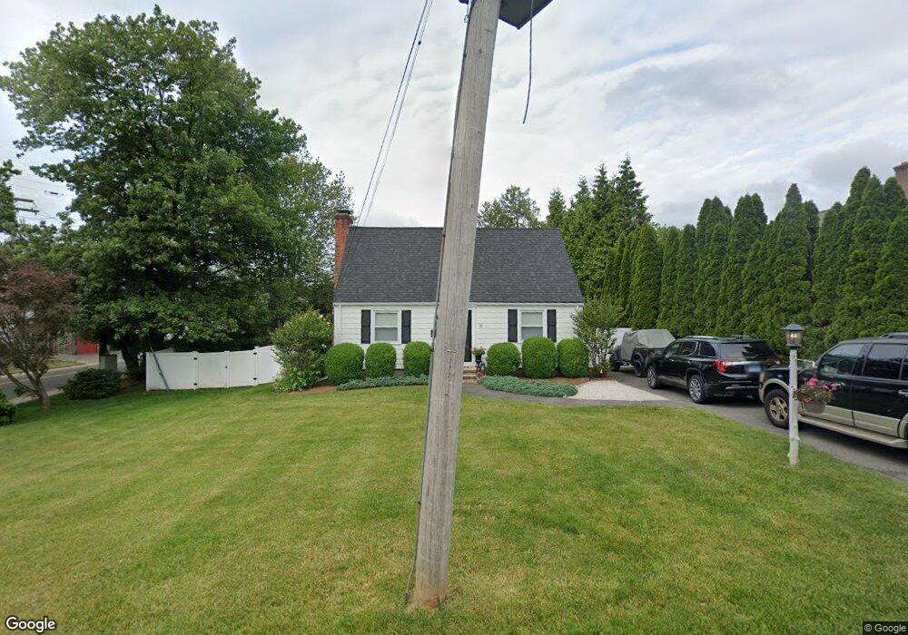
15 Osborne Place Southport, CT 06890
Southport NeighborhoodEstimated Value: $712,682 - $838,000
2
Beds
2
Baths
1,178
Sq Ft
$670/Sq Ft
Est. Value
About This Home
This home is located at 15 Osborne Place, Southport, CT 06890 and is currently estimated at $789,671, approximately $670 per square foot. 15 Osborne Place is a home located in Fairfield County with nearby schools including Mill Hill School, Roger Ludlowe Middle School, and Fairfield Ludlowe High School.
Ownership History
Date
Name
Owned For
Owner Type
Purchase Details
Closed on
Aug 10, 2018
Sold by
Champagne Joan and Champagne Roch J
Bought by
Petise Cortney L and Petise Frank W
Current Estimated Value
Home Financials for this Owner
Home Financials are based on the most recent Mortgage that was taken out on this home.
Original Mortgage
$463,013
Outstanding Balance
$403,160
Interest Rate
4.62%
Mortgage Type
FHA
Estimated Equity
$386,511
Create a Home Valuation Report for This Property
The Home Valuation Report is an in-depth analysis detailing your home's value as well as a comparison with similar homes in the area
Home Values in the Area
Average Home Value in this Area
Purchase History
| Date | Buyer | Sale Price | Title Company |
|---|---|---|---|
| Petise Cortney L | $479,000 | -- | |
| Petise Cortney L | $479,000 | -- |
Source: Public Records
Mortgage History
| Date | Status | Borrower | Loan Amount |
|---|---|---|---|
| Open | Petise Cortney L | $463,013 | |
| Closed | Petise Cortney L | $463,013 |
Source: Public Records
Tax History Compared to Growth
Tax History
| Year | Tax Paid | Tax Assessment Tax Assessment Total Assessment is a certain percentage of the fair market value that is determined by local assessors to be the total taxable value of land and additions on the property. | Land | Improvement |
|---|---|---|---|---|
| 2025 | $8,557 | $301,420 | $259,280 | $42,140 |
| 2024 | $8,410 | $301,420 | $259,280 | $42,140 |
| 2023 | $8,292 | $301,420 | $259,280 | $42,140 |
| 2022 | $8,211 | $301,420 | $259,280 | $42,140 |
| 2021 | $8,132 | $301,420 | $259,280 | $42,140 |
| 2020 | $8,126 | $303,310 | $256,550 | $46,760 |
| 2019 | $8,126 | $303,310 | $256,550 | $46,760 |
| 2018 | $7,995 | $303,310 | $256,550 | $46,760 |
| 2017 | $7,831 | $303,310 | $256,550 | $46,760 |
| 2016 | $7,719 | $303,310 | $256,550 | $46,760 |
| 2015 | $7,477 | $301,630 | $270,060 | $31,570 |
| 2014 | $7,360 | $301,630 | $270,060 | $31,570 |
Source: Public Records
Map
Nearby Homes
- 2 Elmwood Dr Unit 2
- 153 Pease Ave
- 305 S Gate Ln
- 944 Pequot Ave
- 844 Mill Hill Terrace
- 28 Mill Hill Rd Unit 28
- 260 Willow St
- 220 Lansdowne
- 125 Old Rd
- 53 Hilltop Dr
- 7 High Gate Rd
- 476 Mill Hill Terrace
- 342 Greens Farms Rd
- 1 Coastal Ct
- 107 Old Rd
- 36 Maple Ave S
- 100 Overhill Rd
- 1135 Mill Hill Rd
- 88 Overhill Rd
- 1213 Cedar Rd
- LOT 3C Kings Hwy W
- 29 Osborne Place
- LOT 3A Kings Hwy W
- 10 Osborne Place
- 20 Osborne Place
- 45 Osborne Place
- 56 Osborne Place
- 30 Osborne Place
- 670 Kings Hwy W
- 670 Kings Hwy W
- 670 Kings Hwy W Unit 670
- 670 Kings Hwy W Unit 670
- 670 Kings Hwy W
- 670 Kings Hwy W Unit 670
- 50 Osborne Place
- 59 Osborne Place
- 82 Hulls Hwy
- 42 Osborne Place
- 49 Osborne Place
- Lot A Osborne Place