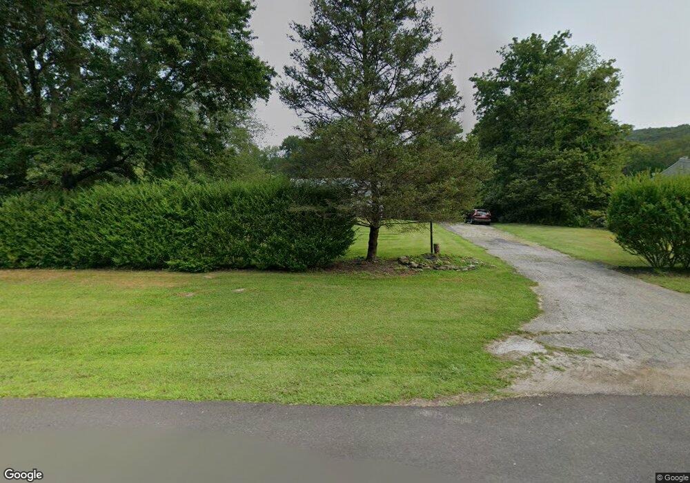
15 Overlook Rd Pawling, NY 12564
Estimated Value: $443,000 - $528,000
3
Beds
2
Baths
1,616
Sq Ft
$305/Sq Ft
Est. Value
About This Home
This home is located at 15 Overlook Rd, Pawling, NY 12564 and is currently estimated at $492,940, approximately $305 per square foot. 15 Overlook Rd is a home located in Dutchess County with nearby schools including Pawling Elementary School, Pawling Middle School, and Pawling High School.
Ownership History
Date
Name
Owned For
Owner Type
Purchase Details
Closed on
Feb 7, 2022
Sold by
Rodney April
Bought by
Rodney April and Rodney Cornell J
Current Estimated Value
Home Financials for this Owner
Home Financials are based on the most recent Mortgage that was taken out on this home.
Original Mortgage
$61,142
Interest Rate
3.01%
Mortgage Type
New Conventional
Purchase Details
Closed on
Oct 25, 2011
Sold by
Cunningham Robert
Bought by
Rodney April
Home Financials for this Owner
Home Financials are based on the most recent Mortgage that was taken out on this home.
Original Mortgage
$199,803
Interest Rate
3.94%
Mortgage Type
Stand Alone Refi Refinance Of Original Loan
Create a Home Valuation Report for This Property
The Home Valuation Report is an in-depth analysis detailing your home's value as well as a comparison with similar homes in the area
Home Values in the Area
Average Home Value in this Area
Purchase History
| Date | Buyer | Sale Price | Title Company |
|---|---|---|---|
| Rodney April | -- | Boston National Title | |
| Rodney April | -- | Boston National Title | |
| Rodney April | $205,000 | -- | |
| Rodney April | $205,000 | -- |
Source: Public Records
Mortgage History
| Date | Status | Borrower | Loan Amount |
|---|---|---|---|
| Previous Owner | Rodney April | $61,142 | |
| Previous Owner | Rodney April | $199,803 |
Source: Public Records
Tax History
| Year | Tax Paid | Tax Assessment Tax Assessment Total Assessment is a certain percentage of the fair market value that is determined by local assessors to be the total taxable value of land and additions on the property. | Land | Improvement |
|---|---|---|---|---|
| 2024 | $7,281 | $108,100 | $23,300 | $84,800 |
| 2023 | $7,754 | $108,100 | $23,300 | $84,800 |
| 2022 | $7,532 | $108,100 | $23,300 | $84,800 |
| 2021 | $7,433 | $108,100 | $23,300 | $84,800 |
| 2020 | $6,569 | $108,100 | $23,300 | $84,800 |
| 2019 | $6,449 | $108,100 | $23,300 | $84,800 |
| 2018 | $6,426 | $108,100 | $23,300 | $84,800 |
| 2017 | $6,442 | $108,100 | $23,300 | $84,800 |
| 2016 | $6,563 | $108,100 | $23,300 | $84,800 |
| 2015 | -- | $108,100 | $23,300 | $84,800 |
| 2014 | -- | $108,100 | $23,300 | $84,800 |
Source: Public Records
Map
Nearby Homes
- 4 Mane Way
- 36 Horseshoe Path
- 79 W Main St
- 14 Old Route 55
- 15 Dykeman St
- 40 Walnut St
- 7 Juniper Ln
- 101 Bundy Hill Rd
- 17 Townsend Blvd
- 10 Timberline Trail
- 0 New York 292
- 750 Route 292
- 178 Charles Colman Blvd
- 120 Harmony Rd
- 3 Pine Dr
- 126 Old Route 55
- 3302 Route 55
- 1098 New York 292
- 13 Cushing Green S
- 6 Laurel Dr
Your Personal Tour Guide
Ask me questions while you tour the home.