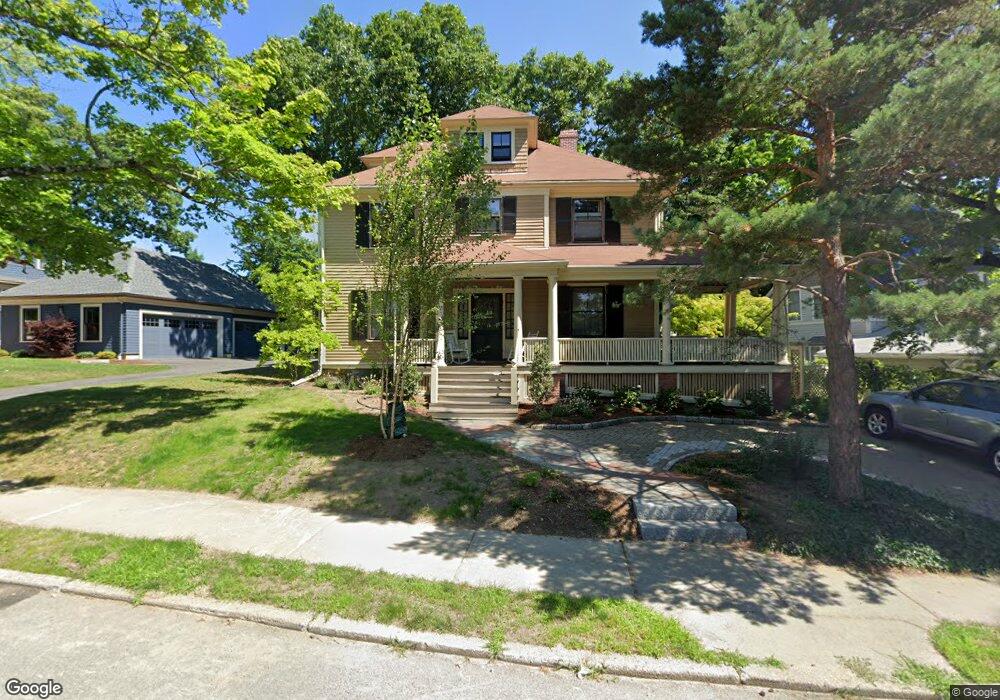
15 Page Rd Newtonville, MA 02460
Newtonville NeighborhoodEstimated Value: $1,454,000 - $1,670,000
4
Beds
1
Bath
2,636
Sq Ft
$593/Sq Ft
Est. Value
About This Home
This home is located at 15 Page Rd, Newtonville, MA 02460 and is currently estimated at $1,562,441, approximately $592 per square foot. 15 Page Rd is a home located in Middlesex County with nearby schools including Horace Mann Elementary School, F.A. Day Middle School, and Newton North High School.
Ownership History
Date
Name
Owned For
Owner Type
Purchase Details
Closed on
May 25, 1979
Bought by
Abele Ralph W and Abele Ellen W
Current Estimated Value
Create a Home Valuation Report for This Property
The Home Valuation Report is an in-depth analysis detailing your home's value as well as a comparison with similar homes in the area
Home Values in the Area
Average Home Value in this Area
Purchase History
| Date | Buyer | Sale Price | Title Company |
|---|---|---|---|
| Abele Ralph W | $65,000 | -- |
Source: Public Records
Mortgage History
| Date | Status | Borrower | Loan Amount |
|---|---|---|---|
| Closed | Abele Ralph W | $85,000 | |
| Closed | Abele Ralph W | $20,000 | |
| Closed | Abele Ralph W | $70,000 |
Source: Public Records
Tax History Compared to Growth
Tax History
| Year | Tax Paid | Tax Assessment Tax Assessment Total Assessment is a certain percentage of the fair market value that is determined by local assessors to be the total taxable value of land and additions on the property. | Land | Improvement |
|---|---|---|---|---|
| 2025 | $13,505 | $1,378,100 | $786,700 | $591,400 |
| 2024 | $13,059 | $1,338,000 | $763,800 | $574,200 |
| 2023 | $12,268 | $1,205,100 | $575,500 | $629,600 |
| 2022 | $11,738 | $1,115,800 | $532,900 | $582,900 |
| 2021 | $11,326 | $1,052,600 | $502,700 | $549,900 |
| 2020 | $10,989 | $1,052,600 | $502,700 | $549,900 |
| 2019 | $10,679 | $1,021,900 | $488,100 | $533,800 |
| 2018 | $10,058 | $929,600 | $442,000 | $487,600 |
| 2017 | $9,752 | $877,000 | $417,000 | $460,000 |
| 2016 | $9,327 | $819,600 | $389,700 | $429,900 |
| 2015 | $8,893 | $766,000 | $364,200 | $401,800 |
Source: Public Records
Map
Nearby Homes
- 168 Walnut St
- 32-34 Rossmere St
- 611 Watertown St Unit 14
- 911 Washington St
- 43 Walker St
- 935 Washington St (Rear Facing) Unit 11
- 935 Washington St Unit 8
- 354 Linwood Ave Unit 1
- 957 Washington St Unit 1
- 77 Court St Unit 205
- 57 Walnut St
- 42-44 Judkins St
- 321 Albemarle Rd
- 22 Walnut Place Unit 1
- 286 Nevada St Unit 286
- 282 Nevada St Unit 282
- 22-24 Emerald St
- 123-125 Mount Vernon St
- 123 Mount Vernon St Unit 2
- 49 Hawthorn St
- 183 Walnut St
- 35 Page Rd Unit 2
- 33 Page Rd Unit 1
- 179 Walnut St
- 175 Walnut St
- 175 Walnut St Unit 2R
- 175 Walnut St Unit 3R
- 12 Page Rd
- 16 Page Rd
- 197 Walnut St
- 197 Walnut St Unit 2
- 197 Walnut St Unit 1
- 25 Page Rd
- 90 Lowell Ave
- 97-99 N St Newtonville
- 26 Page Rd
- 203 Walnut St
- 205 Walnut St
- 203 Walnut St
- 82 Lowell Ave