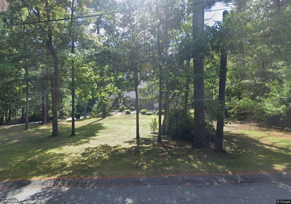
15 Parker Dr East Freetown, MA 02717
Estimated Value: $682,000 - $809,000
5
Beds
3
Baths
3,000
Sq Ft
$246/Sq Ft
Est. Value
About This Home
This home is located at 15 Parker Dr, East Freetown, MA 02717 and is currently estimated at $737,078, approximately $245 per square foot. 15 Parker Dr is a home located in Bristol County with nearby schools including Freetown Elementary School, George R Austin Intermediate School, and Freetown-Lakeville Middle School.
Ownership History
Date
Name
Owned For
Owner Type
Purchase Details
Closed on
Jul 19, 2016
Sold by
Gonsalves Jose C and Gonsalves Kathleen R
Bought by
Parker Drive Nt
Current Estimated Value
Purchase Details
Closed on
Aug 19, 1976
Bought by
Gonsalves Jose C and Gonsalves Kathleen R
Create a Home Valuation Report for This Property
The Home Valuation Report is an in-depth analysis detailing your home's value as well as a comparison with similar homes in the area
Home Values in the Area
Average Home Value in this Area
Purchase History
| Date | Buyer | Sale Price | Title Company |
|---|---|---|---|
| Parker Drive Nt | -- | -- | |
| Gonsalves Jose C | -- | -- |
Source: Public Records
Mortgage History
| Date | Status | Borrower | Loan Amount |
|---|---|---|---|
| Previous Owner | Gonsalves Jose C | $35,000 |
Source: Public Records
Tax History Compared to Growth
Tax History
| Year | Tax Paid | Tax Assessment Tax Assessment Total Assessment is a certain percentage of the fair market value that is determined by local assessors to be the total taxable value of land and additions on the property. | Land | Improvement |
|---|---|---|---|---|
| 2025 | $6,351 | $640,900 | $179,300 | $461,600 |
| 2024 | $6,310 | $605,000 | $169,200 | $435,800 |
| 2023 | $6,165 | $575,600 | $152,400 | $423,200 |
| 2022 | $5,935 | $492,100 | $129,100 | $363,000 |
| 2021 | $5,692 | $448,200 | $117,400 | $330,800 |
| 2020 | $5,687 | $436,800 | $112,900 | $323,900 |
| 2019 | $5,413 | $411,600 | $107,500 | $304,100 |
| 2018 | $5,056 | $379,900 | $107,500 | $272,400 |
| 2017 | $4,891 | $367,200 | $107,500 | $259,700 |
| 2016 | $4,846 | $370,200 | $104,400 | $265,800 |
| 2015 | $4,701 | $364,400 | $104,400 | $260,000 |
| 2014 | $4,502 | $357,000 | $102,200 | $254,800 |
Source: Public Records
Map
Nearby Homes
- 0 Costa Dr
- 144 Chace Rd
- 9 Paul Ave
- 24 Bells Brook Rd
- 4597 Acushnet Ave
- 195 Slab Bridge Rd
- 1475 Braley Rd Unit 17
- 599 Quanapoag Rd
- 5 Freetown St
- 269 Middleboro Rd
- 13 Luscomb Ln
- 16 Swallow St
- 1069 Cherokee St
- 319 Northwest St
- 3 Abraham Ave
- 15 Morrison Way
- 120 Hackett Ave
- 150 Quanapoag Rd
- 60 Lakeside Ave
- 00 Island Rd