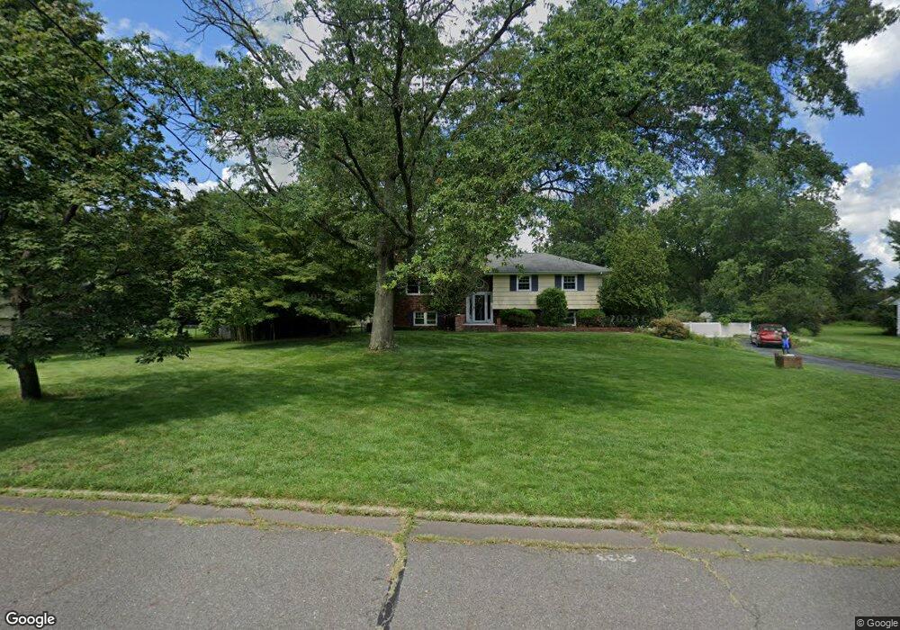
15 Partridge Rd Hillsborough, NJ 08844
Estimated Value: $673,000 - $932,000
--
Bed
--
Bath
2,766
Sq Ft
$289/Sq Ft
Est. Value
About This Home
This home is located at 15 Partridge Rd, Hillsborough, NJ 08844 and is currently estimated at $800,473, approximately $289 per square foot. 15 Partridge Rd is a home located in Somerset County with nearby schools including Hillsborough High School.
Ownership History
Date
Name
Owned For
Owner Type
Purchase Details
Closed on
Jun 15, 2005
Sold by
Mindrebo Eric
Bought by
Alonge Paul
Current Estimated Value
Home Financials for this Owner
Home Financials are based on the most recent Mortgage that was taken out on this home.
Original Mortgage
$408,000
Outstanding Balance
$213,275
Interest Rate
5.78%
Estimated Equity
$587,198
Purchase Details
Closed on
Jun 26, 1998
Sold by
Walton Michael H
Bought by
Mindrebo Eric and Mindrebo Donna
Home Financials for this Owner
Home Financials are based on the most recent Mortgage that was taken out on this home.
Original Mortgage
$182,000
Interest Rate
7.02%
Create a Home Valuation Report for This Property
The Home Valuation Report is an in-depth analysis detailing your home's value as well as a comparison with similar homes in the area
Home Values in the Area
Average Home Value in this Area
Purchase History
| Date | Buyer | Sale Price | Title Company |
|---|---|---|---|
| Alonge Paul | $510,000 | -- | |
| Mindrebo Eric | $227,000 | -- |
Source: Public Records
Mortgage History
| Date | Status | Borrower | Loan Amount |
|---|---|---|---|
| Open | Alonge Paul | $408,000 | |
| Previous Owner | Mindrebo Eric | $182,000 |
Source: Public Records
Tax History Compared to Growth
Tax History
| Year | Tax Paid | Tax Assessment Tax Assessment Total Assessment is a certain percentage of the fair market value that is determined by local assessors to be the total taxable value of land and additions on the property. | Land | Improvement |
|---|---|---|---|---|
| 2025 | $12,391 | $596,900 | $315,000 | $281,900 |
| 2024 | $12,391 | $578,200 | $320,000 | $258,200 |
| 2023 | $11,049 | $513,200 | $290,000 | $223,200 |
| 2022 | $10,821 | $484,600 | $260,000 | $224,600 |
| 2021 | $11,191 | $476,600 | $250,000 | $226,600 |
| 2020 | $10,916 | $457,900 | $230,000 | $227,900 |
| 2019 | $10,859 | $451,700 | $215,000 | $236,700 |
| 2018 | $10,477 | $433,100 | $195,000 | $238,100 |
| 2017 | $10,037 | $415,600 | $175,000 | $240,600 |
| 2016 | $10,066 | $417,000 | $175,000 | $242,000 |
| 2015 | $9,891 | $414,900 | $170,000 | $244,900 |
| 2014 | $9,628 | $412,500 | $170,000 | $242,500 |
Source: Public Records
Map
Nearby Homes
- 77 Norton Rd
- 42 Falcon Rd
- 8 Leidl Cir
- 6 Leidl Cir
- 86 Norton Rd
- 4 Leidl Cir
- 78 Valley Rd
- 230 Sunnymeade Rd
- 15 Independence Dr
- 69 Weber Ave
- 614 Robin Rd
- 920 Robin Rd
- 351 Doctors Way
- 2301 Trafalgar Square
- 73 Weston Rd
- 124 Brookside Ln
- 3301 Astor Close
- 213 Brookside Ln
- 3203 Astor Close
- 524 Andria Ave Unit 225