15 Patterson Hill Rd Mount Desert, ME 04660
Estimated Value: $669,000 - $834,000
3
Beds
3
Baths
2,352
Sq Ft
$319/Sq Ft
Est. Value
About This Home
This home is located at 15 Patterson Hill Rd, Mount Desert, ME 04660 and is currently estimated at $749,975, approximately $318 per square foot. 15 Patterson Hill Rd is a home with nearby schools including Mt Desert Elementary School and Mt. Desert Island High School.
Ownership History
Date
Name
Owned For
Owner Type
Purchase Details
Closed on
May 20, 2009
Sold by
Patterson Hill Llc
Bought by
Graham Todd J and Graham Leisa L
Current Estimated Value
Home Financials for this Owner
Home Financials are based on the most recent Mortgage that was taken out on this home.
Original Mortgage
$190,000
Interest Rate
4.93%
Mortgage Type
Unknown
Create a Home Valuation Report for This Property
The Home Valuation Report is an in-depth analysis detailing your home's value as well as a comparison with similar homes in the area
Home Values in the Area
Average Home Value in this Area
Purchase History
| Date | Buyer | Sale Price | Title Company |
|---|---|---|---|
| Graham Todd J | -- | -- |
Source: Public Records
Mortgage History
| Date | Status | Borrower | Loan Amount |
|---|---|---|---|
| Open | Graham Todd J | $193,200 | |
| Closed | Graham Todd J | $50,000 | |
| Closed | Graham Todd J | $178,000 | |
| Closed | Graham Todd J | $190,000 |
Source: Public Records
Tax History Compared to Growth
Tax History
| Year | Tax Paid | Tax Assessment Tax Assessment Total Assessment is a certain percentage of the fair market value that is determined by local assessors to be the total taxable value of land and additions on the property. | Land | Improvement |
|---|---|---|---|---|
| 2024 | $3,458 | $371,800 | $126,400 | $245,400 |
| 2023 | $3,242 | $371,800 | $126,400 | $245,400 |
| 2022 | $2,989 | $371,800 | $126,400 | $245,400 |
| 2021 | $2,836 | $343,800 | $151,700 | $192,100 |
| 2020 | $2,744 | $343,800 | $151,700 | $192,100 |
| 2019 | $2,733 | $343,800 | $151,700 | $192,100 |
| 2018 | $2,637 | $343,800 | $151,700 | $192,100 |
| 2017 | $2,551 | $343,800 | $151,700 | $192,100 |
| 2016 | $2,499 | $343,800 | $151,700 | $192,100 |
| 2015 | $2,444 | $343,800 | $151,700 | $192,100 |
| 2013 | $2,331 | $343,800 | $151,700 | $192,100 |
Source: Public Records
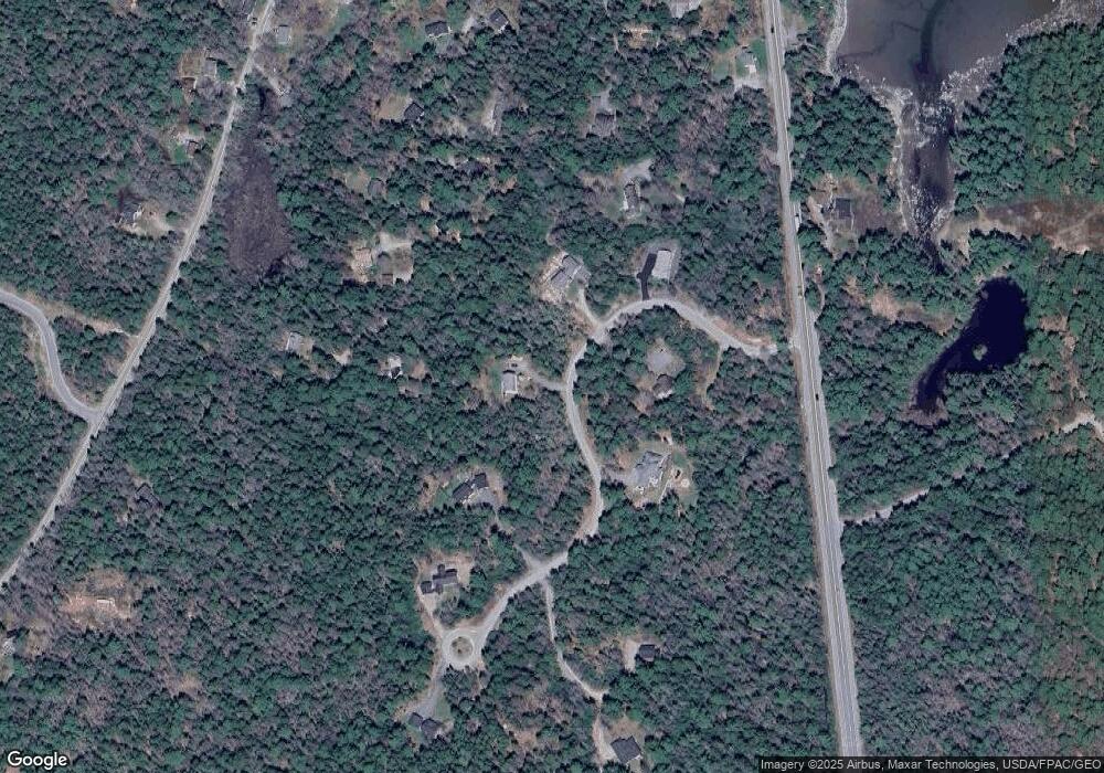
Map
Nearby Homes
- 1171 Main St
- 1 Beech Hill Rd
- 00 Main (Rte 102) St
- Map10-193 Main St Unit 4
- 1131 Main St
- 0 Red Spruce Way
- 1105 Main St
- Part M9L83 Ripples Rd
- Lot A Red Spruce Way
- 7 Cadillac Way
- 5 Pond Field Ln
- 10-6 Vista Way
- 70 Hall Quarry Rd
- 2 Vacation Ln
- 1572 Maine 102
- 480 Sound Dr
- 121 Northern Neck Rd
- Lot 5 Aspen Way
- Lot 7 Aspen Way
- Lot 39-1 Sargent Brook Rd
- 0 Patterson Hill Rd Unit 1097264
- 0 Patterson Hill Rd Unit 1216823
- 000 Somes Ridge Rd
- 25 Patterson Hill Rd
- 24 Somes Ridge Rd
- 0 Somes Ridge Rd
- 11 Patterson Hill Rd
- 12 Patterson Hill Rd
- 18 Patterson Hill Rd
- 8 Patterson Hill Rd
- 16 Somes Ridge Rd
- 19 Somes Ridge Rd
- 31 Patterson Hill Rd
- 10 Patterson Hill Rd
- 1183 Main St
- 9 Patterson Hill Rd
- 27 Somes Ridge Rd
- 4 Patterson Hill
- 17 Somes Ridge Rd
- 12 Somes Ridge Rd