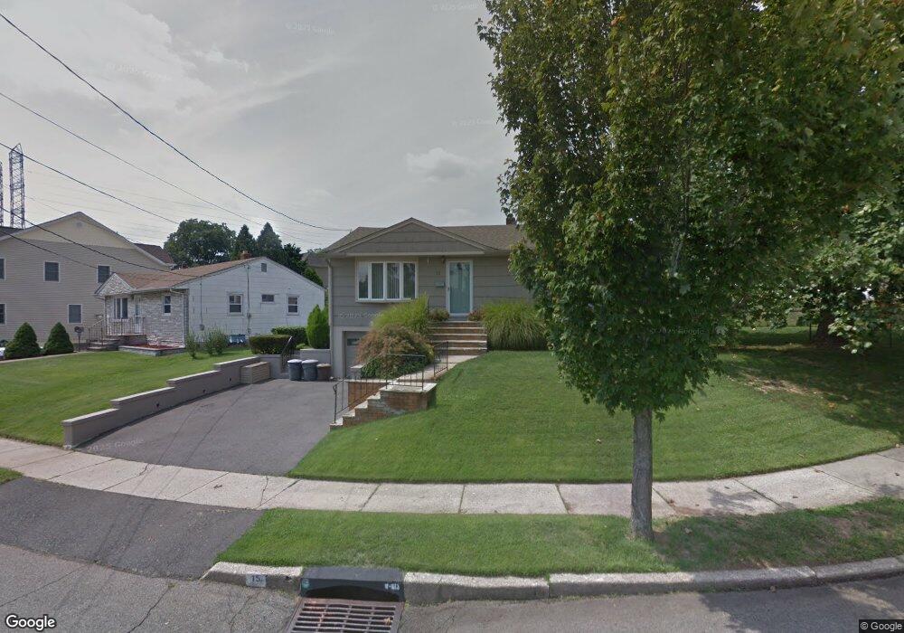
15 Pauline Dr Nutley, NJ 07110
Estimated Value: $513,757 - $610,000
--
Bed
--
Bath
952
Sq Ft
$596/Sq Ft
Est. Value
About This Home
This home is located at 15 Pauline Dr, Nutley, NJ 07110 and is currently estimated at $566,939, approximately $595 per square foot. 15 Pauline Dr is a home located in Essex County with nearby schools including Nutley High School, Maria L. Varisco-Rogers Charter School, and Robert Treat Academy Charter School.
Ownership History
Date
Name
Owned For
Owner Type
Purchase Details
Closed on
Nov 17, 1999
Sold by
Nelson Scott
Bought by
Sammaro James and Sammaro Michelle
Current Estimated Value
Home Financials for this Owner
Home Financials are based on the most recent Mortgage that was taken out on this home.
Original Mortgage
$161,100
Outstanding Balance
$49,257
Interest Rate
7.77%
Mortgage Type
Purchase Money Mortgage
Estimated Equity
$517,682
Create a Home Valuation Report for This Property
The Home Valuation Report is an in-depth analysis detailing your home's value as well as a comparison with similar homes in the area
Home Values in the Area
Average Home Value in this Area
Purchase History
| Date | Buyer | Sale Price | Title Company |
|---|---|---|---|
| Sammaro James | $179,000 | -- |
Source: Public Records
Mortgage History
| Date | Status | Borrower | Loan Amount |
|---|---|---|---|
| Open | Sammaro James | $161,100 |
Source: Public Records
Tax History Compared to Growth
Tax History
| Year | Tax Paid | Tax Assessment Tax Assessment Total Assessment is a certain percentage of the fair market value that is determined by local assessors to be the total taxable value of land and additions on the property. | Land | Improvement |
|---|---|---|---|---|
| 2025 | $10,147 | $393,900 | $205,300 | $188,600 |
| 2024 | $10,147 | $393,900 | $205,300 | $188,600 |
| 2022 | $8,466 | $219,100 | $105,300 | $113,800 |
| 2021 | $8,422 | $219,100 | $105,300 | $113,800 |
| 2020 | $8,067 | $219,100 | $105,300 | $113,800 |
| 2019 | $7,905 | $219,100 | $105,300 | $113,800 |
| 2018 | $7,693 | $219,100 | $105,300 | $113,800 |
| 2017 | $7,609 | $219,100 | $105,300 | $113,800 |
| 2016 | $7,384 | $219,100 | $105,300 | $113,800 |
| 2015 | $7,265 | $219,100 | $105,300 | $113,800 |
| 2014 | $7,173 | $219,100 | $105,300 | $113,800 |
Source: Public Records
Map
Nearby Homes
- 26 Donna Ct
- 15 Sargent St
- 45 Rutan Rd
- 150 Liberty Ave
- 93 Meacham Ave
- 453-455 Franklin Ave
- 44 Gless Ave
- 25 Orchard St
- 39 Wilson St
- 76 Stager St
- 675 Joralemon St
- 12 Moore Place
- 21 Barnett Ln Unit C 16
- 21-29 Barnett Ln
- 80 Plymouth Rd
- 20 Harrison St
- 42 Memphis Ave
- 54 Brookline Ave
- 93 Passaic Ave
- 13 Columbia Ave