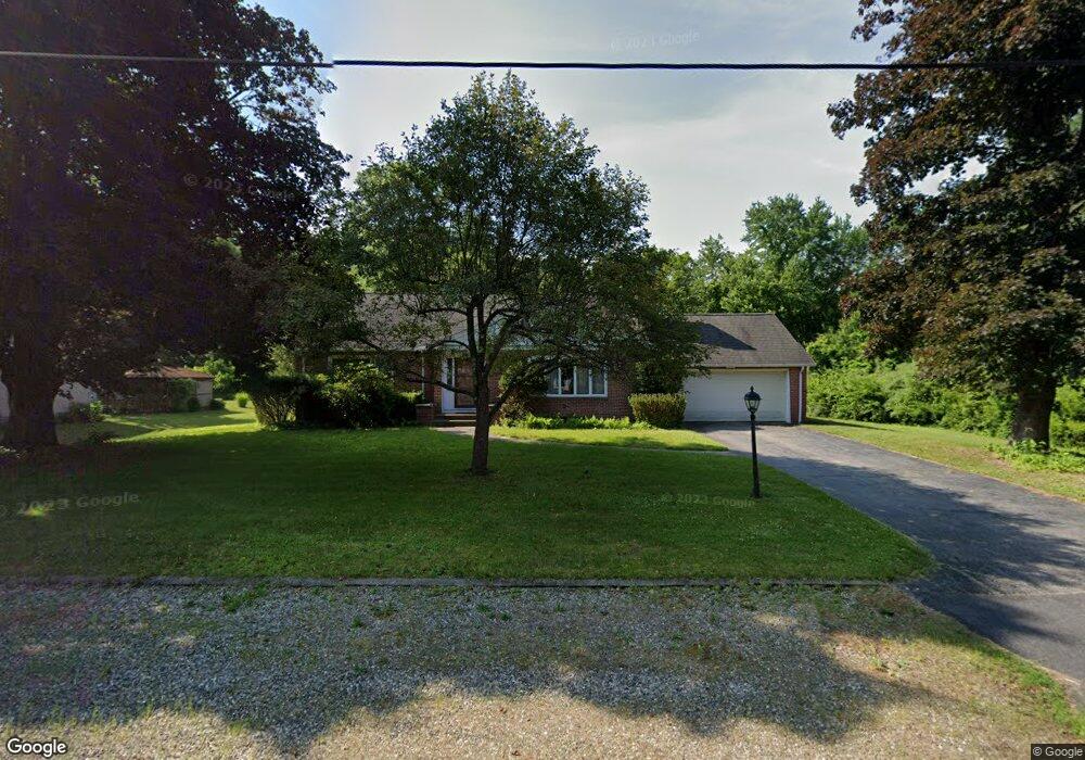
15 Pease St Wilbraham, MA 01095
Estimated Value: $485,611 - $593,000
4
Beds
2
Baths
2,725
Sq Ft
$203/Sq Ft
Est. Value
About This Home
This home is located at 15 Pease St, Wilbraham, MA 01095 and is currently estimated at $552,903, approximately $202 per square foot. 15 Pease St is a home located in Hampden County with nearby schools including Minnechaug Regional High School and Wilbraham & Monson Academy.
Ownership History
Date
Name
Owned For
Owner Type
Purchase Details
Closed on
May 22, 2023
Sold by
Rose M Malysz 2009 Ret
Bought by
Malysz Thaddeus M and Malysz Mark K
Current Estimated Value
Purchase Details
Closed on
Jan 4, 2010
Sold by
Malysz Thaddeus K and Malysz Rose M
Bought by
Rose M Malysz Ret
Purchase Details
Closed on
May 3, 1985
Bought by
Malysz Rose M
Create a Home Valuation Report for This Property
The Home Valuation Report is an in-depth analysis detailing your home's value as well as a comparison with similar homes in the area
Home Values in the Area
Average Home Value in this Area
Purchase History
| Date | Buyer | Sale Price | Title Company |
|---|---|---|---|
| Malysz Thaddeus M | -- | None Available | |
| Rose M Malysz Ret | -- | -- | |
| Malysz Rose M | -- | -- |
Source: Public Records
Tax History Compared to Growth
Tax History
| Year | Tax Paid | Tax Assessment Tax Assessment Total Assessment is a certain percentage of the fair market value that is determined by local assessors to be the total taxable value of land and additions on the property. | Land | Improvement |
|---|---|---|---|---|
| 2025 | $7,620 | $426,200 | $92,300 | $333,900 |
| 2024 | $6,876 | $371,700 | $92,300 | $279,400 |
| 2023 | $6,422 | $343,400 | $92,300 | $251,100 |
| 2022 | $6,567 | $320,500 | $92,300 | $228,200 |
| 2021 | $6,459 | $281,300 | $110,000 | $171,300 |
| 2020 | $6,295 | $281,300 | $110,000 | $171,300 |
| 2019 | $6,132 | $281,300 | $110,000 | $171,300 |
| 2018 | $5,927 | $261,800 | $110,000 | $151,800 |
| 2017 | $5,760 | $261,800 | $110,000 | $151,800 |
| 2016 | $5,702 | $264,000 | $121,600 | $142,400 |
| 2015 | $5,512 | $264,000 | $121,600 | $142,400 |
Source: Public Records
Map
Nearby Homes
- 20 Old Orchard Rd
- 79 High Pine Cir
- 69 High Pine Cir
- 54 High Pine Cir
- 2 Vista Rd
- 2 Bayberry Dr Unit 51
- 28 Decorie Dr
- 474 Mountain Rd
- 474-480 Mountain Rd
- 35 Lake Dr
- 4 Hillcrest Dr
- 8 Patriot Ridge Ln
- 182 Mountain Rd
- 46 Washington Rd
- 6 Hilltop Park
- 12 Highridge Rd
- 603 Glendale Rd
- 68 Monson Rd
- 6 Teak Terrace Unit 24
- 99 Sandalwood Dr Unit site 00