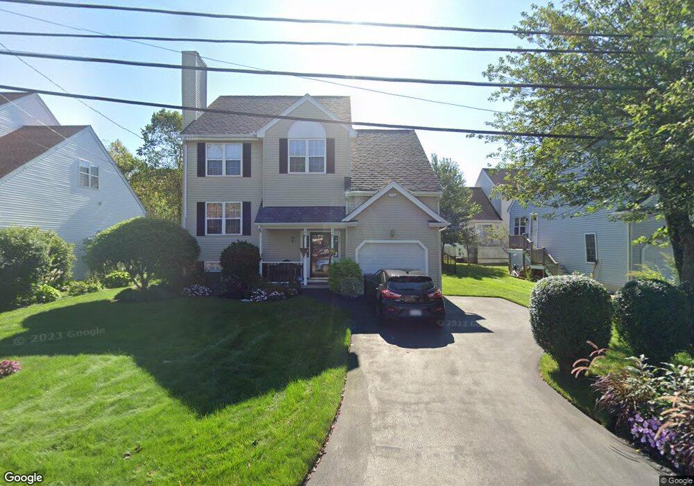
15 Peterson Rd North Andover, MA 01845
Estimated Value: $806,105 - $953,000
3
Beds
3
Baths
2,613
Sq Ft
$337/Sq Ft
Est. Value
About This Home
This home is located at 15 Peterson Rd, North Andover, MA 01845 and is currently estimated at $879,526, approximately $336 per square foot. 15 Peterson Rd is a home located in Essex County with nearby schools including Franklin Elementary School, North Andover Middle School, and North Andover High School.
Ownership History
Date
Name
Owned For
Owner Type
Purchase Details
Closed on
Apr 26, 2021
Sold by
Chan Kwok-Keung and Chan Po-Ling C
Bought by
Po Ling Chan Chan Ret
Current Estimated Value
Purchase Details
Closed on
Aug 31, 1995
Sold by
Hillside Rt
Bought by
Chan Kwok Keung
Create a Home Valuation Report for This Property
The Home Valuation Report is an in-depth analysis detailing your home's value as well as a comparison with similar homes in the area
Home Values in the Area
Average Home Value in this Area
Purchase History
| Date | Buyer | Sale Price | Title Company |
|---|---|---|---|
| Po Ling Chan Chan Ret | -- | None Available | |
| Chan Kwok Keung | $203,935 | -- |
Source: Public Records
Mortgage History
| Date | Status | Borrower | Loan Amount |
|---|---|---|---|
| Previous Owner | Chan Kwok Keung | $190,000 | |
| Previous Owner | Chan Kwok Keung | $208,000 |
Source: Public Records
Tax History Compared to Growth
Tax History
| Year | Tax Paid | Tax Assessment Tax Assessment Total Assessment is a certain percentage of the fair market value that is determined by local assessors to be the total taxable value of land and additions on the property. | Land | Improvement |
|---|---|---|---|---|
| 2025 | $7,328 | $650,800 | $288,300 | $362,500 |
| 2024 | $6,968 | $628,300 | $271,400 | $356,900 |
| 2023 | $6,908 | $564,400 | $249,300 | $315,100 |
| 2022 | $6,677 | $493,500 | $223,900 | $269,600 |
| 2021 | $6,415 | $452,700 | $203,500 | $249,200 |
| 2020 | $6,220 | $452,700 | $203,500 | $249,200 |
| 2019 | $6,071 | $452,700 | $203,500 | $249,200 |
| 2018 | $6,578 | $452,700 | $203,500 | $249,200 |
| 2017 | $5,871 | $411,100 | $156,800 | $254,300 |
| 2016 | $5,638 | $395,100 | $153,800 | $241,300 |
| 2015 | $5,683 | $394,900 | $148,500 | $246,400 |
Source: Public Records
Map
Nearby Homes
- 124 Hillside Rd
- 204 Chestnut St
- 76 Hillside Rd
- 32 Lucerne Dr
- 124 Quail Run Rd
- 136 Quail Run Rd
- 80 Sandra Ln
- 495 Johnson St
- 174 Chestnut St Unit 14
- 105 Elm St Unit A
- 170 Haverhill St Unit 138
- 61 Elm St Unit 61
- 12 Farnum St
- 1 Longwood Dr Unit 105
- 10 Maple Ave Unit 3
- 156 High St
- 20 Walnut Ave
- 7 Kingston St
- 45 Thistle Rd
- 75 Thistle Rd
- 17 Peterson Rd
- 274 Hillside Rd
- 278 Hillside Rd
- 9 Peterson Rd
- 9 Peterson Rd Unit 9
- 264 Hillside Rd
- 21 Peterson Rd
- 284 Hillside Rd
- 5 Peterson Rd
- 16 Peterson Rd
- 58 Bucklin Rd
- 10 Peterson Rd
- 19 Peterson Rd
- 27 Peterson Rd
- 24 Peterson Rd
- 152 Andover Bypass St
- 6 Peterson Rd
- 30 Peterson Rd
- 51 Bucklin Rd
- 44 Bucklin Rd