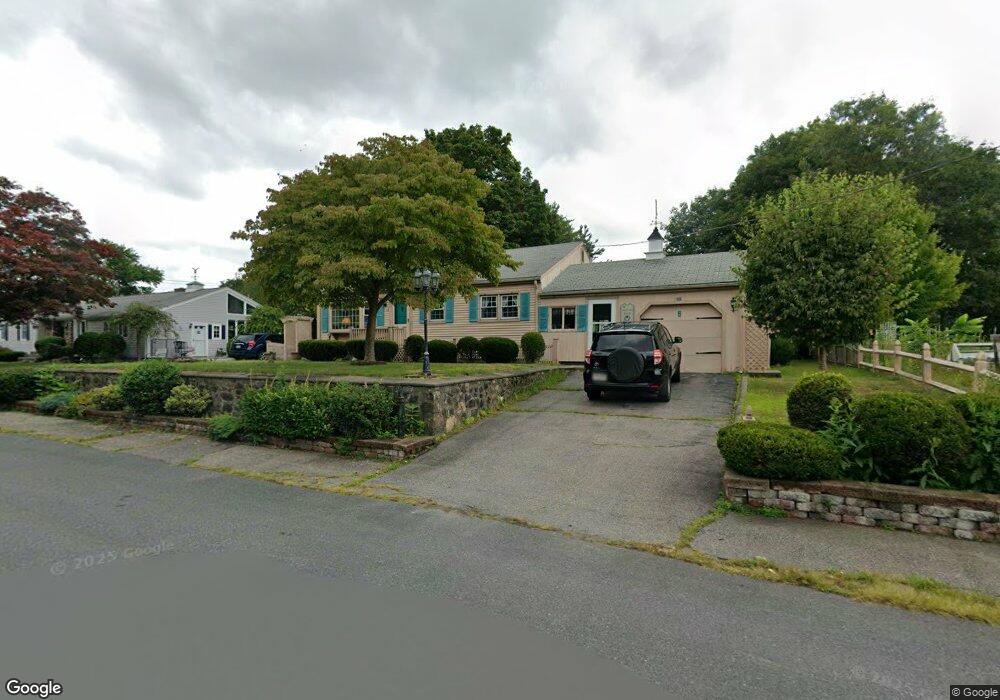
15 Phillips St North Attleboro, MA 02760
North Attleboro NeighborhoodEstimated Value: $436,000 - $475,000
3
Beds
1
Bath
1,206
Sq Ft
$382/Sq Ft
Est. Value
About This Home
This home is located at 15 Phillips St, North Attleboro, MA 02760 and is currently estimated at $460,929, approximately $382 per square foot. 15 Phillips St is a home located in Bristol County with nearby schools including North Attleboro High School.
Create a Home Valuation Report for This Property
The Home Valuation Report is an in-depth analysis detailing your home's value as well as a comparison with similar homes in the area
Home Values in the Area
Average Home Value in this Area
Tax History Compared to Growth
Tax History
| Year | Tax Paid | Tax Assessment Tax Assessment Total Assessment is a certain percentage of the fair market value that is determined by local assessors to be the total taxable value of land and additions on the property. | Land | Improvement |
|---|---|---|---|---|
| 2025 | $4,609 | $390,900 | $125,200 | $265,700 |
| 2024 | $4,363 | $378,100 | $125,200 | $252,900 |
| 2023 | $4,292 | $335,600 | $125,200 | $210,400 |
| 2022 | $3,962 | $284,400 | $125,200 | $159,200 |
| 2021 | $3,177 | $290,900 | $125,200 | $165,700 |
| 2020 | $3,051 | $272,600 | $125,200 | $147,400 |
| 2019 | $3,719 | $261,200 | $113,800 | $147,400 |
| 2018 | $2,839 | $245,500 | $113,800 | $131,700 |
| 2017 | $3,158 | $238,900 | $113,800 | $125,100 |
| 2016 | $3,066 | $231,900 | $126,400 | $105,500 |
| 2015 | $2,926 | $222,700 | $126,400 | $96,300 |
| 2014 | $2,741 | $207,000 | $111,000 | $96,000 |
Source: Public Records
Map
Nearby Homes
- 27 Taylor St
- 12 Roosevelt Ave
- 40 Roosevelt Ave
- 16 Johnson St
- 137 Sumner St
- 93 Bank St
- 46 Westside Ave
- 19 Church St Unit C9
- 16 Richards Ave Unit 106
- 12 Morgan Way Unit 1
- 160 Crescent Ave
- 80 Broadway Unit 9
- 20 South St
- 50 Metcalf Rd
- 68 Fisher St
- 30 Sperry Ln Unit Lot 15
- 300 E Washington St Unit 54R
- 633 E Washington St Unit 10
- 880 Landry Ave Unit 2
- 130 E Washington St Unit 71
- 23 Phillips St
- 4 Taylor St
- 89 Arnold Rd
- 85 Arnold Rd
- 12 Phillips St
- 77 Arnold Rd
- 0 Phillips St Unit 71838814
- 26 Phillips St
- 31 Phillips St
- 30 Taylor St
- 11 Taylor St
- 71 Arnold Rd
- 0 Arnold Mill Rd Unit 72263151
- 9 Taylor St
- 32 Phillips St
- 92 Arnold Rd
- 88 Arnold Rd
- 19 Taylor St
- 100 Arnold Rd
- 29 Taylor St