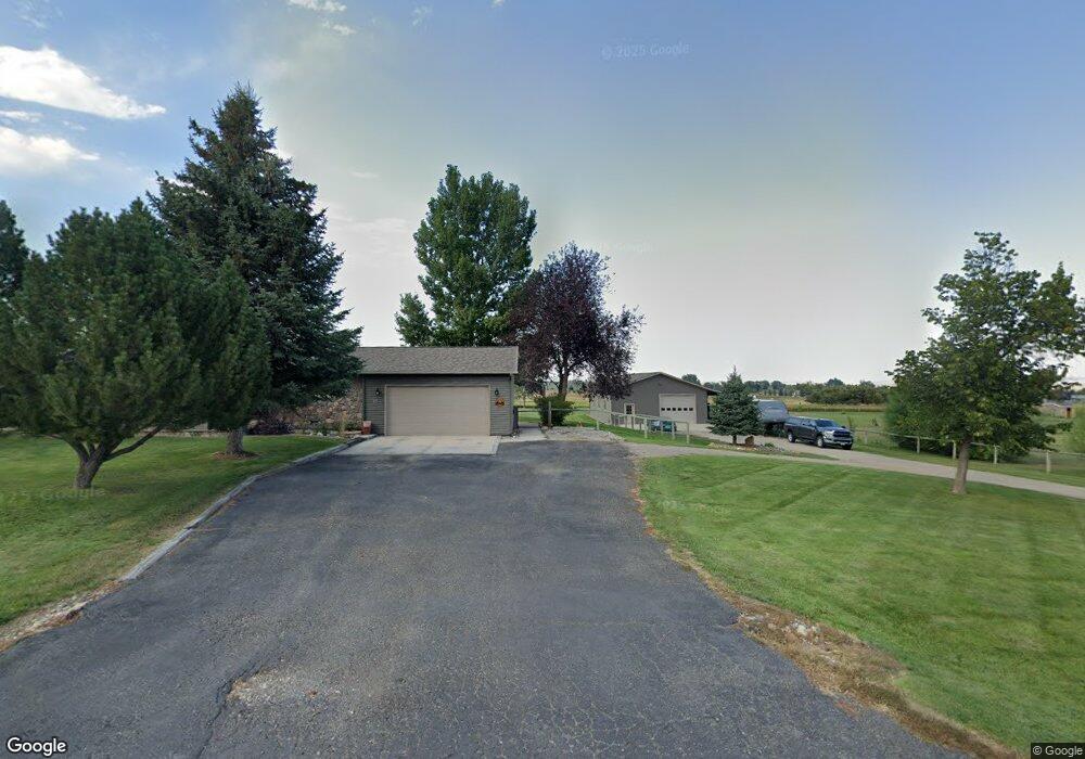
15 Piper Rd Sheridan, WY 82801
Estimated Value: $691,000 - $832,571
4
Beds
4
Baths
2,132
Sq Ft
$368/Sq Ft
Est. Value
About This Home
This home is located at 15 Piper Rd, Sheridan, WY 82801 and is currently estimated at $785,190, approximately $368 per square foot. 15 Piper Rd is a home with nearby schools including Sheridan High School.
Ownership History
Date
Name
Owned For
Owner Type
Purchase Details
Closed on
Nov 15, 2011
Sold by
Eppich Karl M and Eppich Stephnie G
Bought by
Melin Curtis W and Melin Kristina M
Current Estimated Value
Home Financials for this Owner
Home Financials are based on the most recent Mortgage that was taken out on this home.
Original Mortgage
$175,000
Outstanding Balance
$17,819
Interest Rate
4.13%
Mortgage Type
New Conventional
Estimated Equity
$767,371
Create a Home Valuation Report for This Property
The Home Valuation Report is an in-depth analysis detailing your home's value as well as a comparison with similar homes in the area
Home Values in the Area
Average Home Value in this Area
Purchase History
| Date | Buyer | Sale Price | Title Company |
|---|---|---|---|
| Melin Curtis W | -- | None Available |
Source: Public Records
Mortgage History
| Date | Status | Borrower | Loan Amount |
|---|---|---|---|
| Open | Melin Curtis W | $175,000 |
Source: Public Records
Tax History Compared to Growth
Tax History
| Year | Tax Paid | Tax Assessment Tax Assessment Total Assessment is a certain percentage of the fair market value that is determined by local assessors to be the total taxable value of land and additions on the property. | Land | Improvement |
|---|---|---|---|---|
| 2025 | $4,628 | $52,803 | $12,325 | $40,478 |
| 2024 | $4,429 | $69,599 | $16,433 | $53,166 |
| 2023 | $4,564 | $71,627 | $15,292 | $56,335 |
| 2022 | $4,176 | $65,803 | $12,553 | $53,250 |
| 2021 | $3,439 | $54,712 | $10,613 | $44,099 |
| 2020 | $3,292 | $52,498 | $8,559 | $43,939 |
| 2019 | $3,107 | $49,724 | $8,559 | $41,165 |
| 2018 | $2,721 | $43,916 | $7,988 | $35,928 |
| 2017 | $2,772 | $44,687 | $7,760 | $36,927 |
| 2015 | $2,487 | $40,392 | $6,034 | $34,358 |
| 2014 | $2,580 | $41,802 | $6,034 | $35,768 |
| 2013 | -- | $34,752 | $6,034 | $28,718 |
Source: Public Records
Map
Nearby Homes
- 18 Cessna Rd
- 11 Piccard Rd
- 18 Convair Rd
- TBD Convair Rd Unit Lot 46
- TBD Convair Rd Unit Lot 44
- TBD Convair Rd Unit Lot 42
- TBD Piccard Rd Unit Lot 31
- TBD Piccard Rd Unit Lot 29
- TBD Piccard Rd Unit Lot 27
- TBD Piccard Rd Unit Lot 26
- TBD Piccard Rd Unit Lot 24
- TBD Piccard Rd Unit Lot 19
- TBD Piccard Rd Unit Lot 15
- TBD Piccard Rd Unit Lot 22
- TBD Piccard Rd Unit Lot 21
- TBD Piccard Rd Unit Lot 25
- TDB Piccard St Unit Lot 23
- TBD Upper Rd
- 31 Mountain Brook Dr
- 1 Crystal Creek Dr