15 Point Pleasant Dr Conneaut, OH 44030
Estimated Value: $106,955 - $181,000
2
Beds
1
Bath
660
Sq Ft
$207/Sq Ft
Est. Value
About This Home
This home is located at 15 Point Pleasant Dr, Conneaut, OH 44030 and is currently estimated at $136,739, approximately $207 per square foot. 15 Point Pleasant Dr is a home located in Ashtabula County with nearby schools including Lakeshore Primary Elementary School, Gateway Elementary School, and Conneaut Middle School.
Ownership History
Date
Name
Owned For
Owner Type
Purchase Details
Closed on
Nov 1, 2019
Sold by
Miller Robert D and Miller Joanne P
Bought by
Heylmun Jodie M and Heylmun Howard S
Current Estimated Value
Purchase Details
Closed on
Dec 4, 2013
Sold by
Miller Robert D and Miller Joanne P
Bought by
Heylmun Jodie M and Heylmun Howard S
Purchase Details
Closed on
Apr 30, 2003
Sold by
Miller Robert D and Miller Joanne P
Bought by
Miller Robert D and Miller Joanne P
Create a Home Valuation Report for This Property
The Home Valuation Report is an in-depth analysis detailing your home's value as well as a comparison with similar homes in the area
Home Values in the Area
Average Home Value in this Area
Purchase History
| Date | Buyer | Sale Price | Title Company |
|---|---|---|---|
| Heylmun Jodie M | $90,000 | None Available | |
| Heylmun Jodie M | $40,000 | None Available | |
| Miller Robert D | -- | -- |
Source: Public Records
Tax History Compared to Growth
Tax History
| Year | Tax Paid | Tax Assessment Tax Assessment Total Assessment is a certain percentage of the fair market value that is determined by local assessors to be the total taxable value of land and additions on the property. | Land | Improvement |
|---|---|---|---|---|
| 2024 | $1,691 | $23,110 | $2,840 | $20,270 |
| 2023 | $1,077 | $23,110 | $2,840 | $20,270 |
| 2022 | $911 | $17,190 | $2,170 | $15,020 |
| 2021 | $927 | $17,190 | $2,170 | $15,020 |
| 2020 | $927 | $17,190 | $2,170 | $15,020 |
| 2019 | $499 | $8,860 | $1,020 | $7,840 |
| 2018 | $477 | $8,860 | $1,020 | $7,840 |
| 2017 | $238 | $8,860 | $1,020 | $7,840 |
| 2016 | $508 | $10,360 | $1,190 | $9,170 |
| 2015 | $513 | $10,360 | $1,190 | $9,170 |
| 2014 | $455 | $10,360 | $1,190 | $9,170 |
| 2013 | $457 | $10,720 | $2,070 | $8,650 |
Source: Public Records
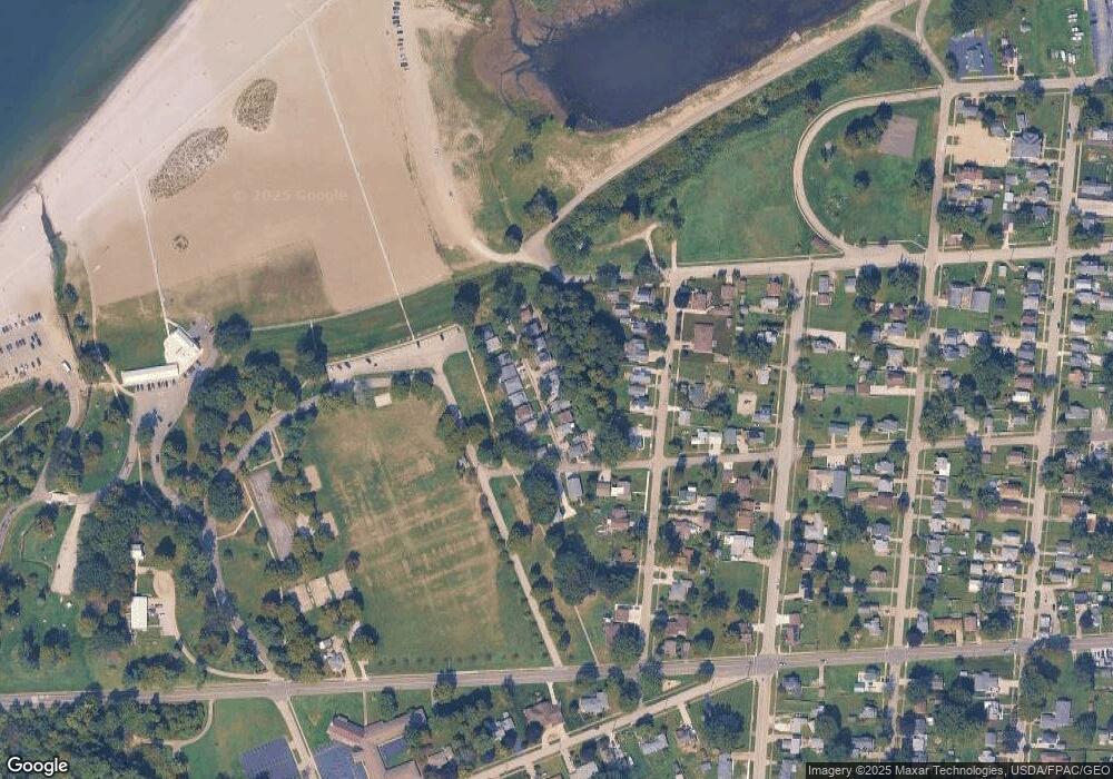
Map
Nearby Homes
- 973 Buffalo St
- 290 Park Ave
- 794 Buffalo St
- 1025 Harbor St Unit 35
- 0 Harbor St Unit 5122727
- 770 Buffalo St
- 982 Day St
- 703 Sandusky St
- 716 Chestnut St
- 688 Grove St
- 169 River St
- 644 Mill St
- 630 Mill St
- 554 Sandusky St
- 0 Chestnut St Unit 5120761
- 533 Mill St
- 536 Mill St
- 381 Bliss Ave
- 405 Bliss Ave
- 281 Depot St
- 16 Point Pleasant Dr
- 14 Point Pleasant Dr
- 13 Point Pleasant Dr
- 17 Point Pleasant Dr
- 12 Point Pleasant Dr
- 18 Point Pleasant Dr
- 6 Point Pleasant Dr
- 7 Point Pleasant Dr
- 5 Point Pleasant Dr
- 8 Point Pleasant Dr
- 4 Point Pleasant Dr
- 19 Point Pleasant Dr
- 11 Point Pleasant Dr
- 995 Wrights Ave
- 3 Point Pleasant Dr
- 993 Wrights Ave
- 997 Wrights Ave
- 400 Pearl Ave
- 20 Point Pleasant Dr
- 2 Point Pleasant Dr