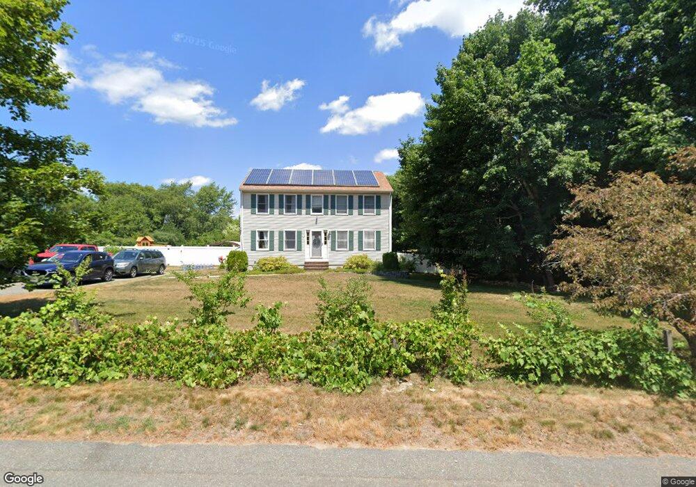
15 Poor Meadow Ln East Bridgewater, MA 02333
Estimated Value: $715,548 - $813,000
4
Beds
2
Baths
2,496
Sq Ft
$313/Sq Ft
Est. Value
About This Home
This home is located at 15 Poor Meadow Ln, East Bridgewater, MA 02333 and is currently estimated at $780,887, approximately $312 per square foot. 15 Poor Meadow Ln is a home located in Plymouth County with nearby schools including Central Elementary School, Gordon W Mitchell Middle School, and East Bridgewater Jr./Sr. High School.
Ownership History
Date
Name
Owned For
Owner Type
Purchase Details
Closed on
Sep 8, 1997
Sold by
Southeastern Dev Corp
Bought by
Harvey Mark D and Harvey Deborah J
Current Estimated Value
Home Financials for this Owner
Home Financials are based on the most recent Mortgage that was taken out on this home.
Original Mortgage
$154,900
Outstanding Balance
$23,773
Interest Rate
7.36%
Mortgage Type
Purchase Money Mortgage
Estimated Equity
$757,114
Create a Home Valuation Report for This Property
The Home Valuation Report is an in-depth analysis detailing your home's value as well as a comparison with similar homes in the area
Home Values in the Area
Average Home Value in this Area
Purchase History
| Date | Buyer | Sale Price | Title Company |
|---|---|---|---|
| Harvey Mark D | $179,900 | -- |
Source: Public Records
Mortgage History
| Date | Status | Borrower | Loan Amount |
|---|---|---|---|
| Open | Harvey Mark D | $154,900 |
Source: Public Records
Tax History Compared to Growth
Tax History
| Year | Tax Paid | Tax Assessment Tax Assessment Total Assessment is a certain percentage of the fair market value that is determined by local assessors to be the total taxable value of land and additions on the property. | Land | Improvement |
|---|---|---|---|---|
| 2025 | $8,475 | $620,000 | $227,300 | $392,700 |
| 2024 | $8,319 | $601,100 | $218,500 | $382,600 |
| 2023 | $8,145 | $563,700 | $218,500 | $345,200 |
| 2022 | $7,710 | $494,200 | $190,500 | $303,700 |
| 2021 | $7,633 | $447,700 | $183,000 | $264,700 |
| 2020 | $7,449 | $430,800 | $176,000 | $254,800 |
| 2019 | $7,275 | $414,300 | $168,200 | $246,100 |
| 2018 | $7,347 | $409,100 | $168,200 | $240,900 |
| 2017 | $7,186 | $392,700 | $160,400 | $232,300 |
| 2016 | $6,964 | $383,500 | $160,400 | $223,100 |
| 2015 | $6,644 | $374,100 | $152,400 | $221,700 |
| 2014 | $6,545 | $376,800 | $149,200 | $227,600 |
Source: Public Records
Map
Nearby Homes
- 22 Hudson St
- 170 Elm St
- 211 Elm St
- 1993 Washington St
- 2045 Washington St
- 71 Stonegate Dr
- 29 Hayes Rd
- 51 Stonegate Dr
- 94 Pond St
- 100 Eliab Latham Way
- 53 Elm St
- 1247 Central St
- 26 Meadowbrook Dr
- 587 Bridge St
- 2 Edgewood Cir
- 28 Brookbend Way E
- 182 Crystal Water Dr Unit 182
- 73 Trailwood Dr
- 1054 Main St
- 72 Phillips St
- 17 Poor Meadow Ln-Lot 17
- 25 Poor Meadow Ln
- 244 Hudson St
- 256 Hudson St
- 20 Poor Meadow Ln
- 268 Hudson St
- 30 Poor Meadow Ln
- 35 Poor Meadow Ln
- 232 Hudson St
- 20 Pine Ridge Rd
- 30 Pine Ridge Rd
- 290 Hudson St
- 147 Hudson St
- 40 Poor Meadow Ln
- 5 Parris Farm Rd
- 153 Hudson St
- 40 Pine Ridge Rd
- 45 Poor Meadow Ln
- 141 Hudson St
- 50 Pine Ridge Rd