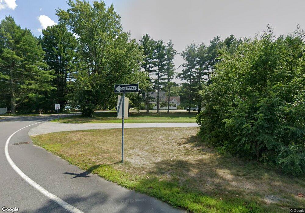
15 Power St Norton, MA 02766
Estimated Value: $509,341 - $583,000
3
Beds
2
Baths
1,494
Sq Ft
$367/Sq Ft
Est. Value
About This Home
This home is located at 15 Power St, Norton, MA 02766 and is currently estimated at $548,585, approximately $367 per square foot. 15 Power St is a home located in Bristol County with nearby schools including J.C. Solmonese Elementary School, Henri A. Yelle Elementary School, and Norton Middle School.
Create a Home Valuation Report for This Property
The Home Valuation Report is an in-depth analysis detailing your home's value as well as a comparison with similar homes in the area
Home Values in the Area
Average Home Value in this Area
Tax History Compared to Growth
Tax History
| Year | Tax Paid | Tax Assessment Tax Assessment Total Assessment is a certain percentage of the fair market value that is determined by local assessors to be the total taxable value of land and additions on the property. | Land | Improvement |
|---|---|---|---|---|
| 2025 | $56 | $432,200 | $188,900 | $243,300 |
| 2024 | $5,325 | $411,200 | $179,900 | $231,300 |
| 2023 | $5,048 | $388,600 | $169,700 | $218,900 |
| 2022 | $4,911 | $344,400 | $154,200 | $190,200 |
| 2021 | $4,697 | $314,600 | $146,900 | $167,700 |
| 2020 | $4,526 | $305,800 | $142,600 | $163,200 |
| 2019 | $4,393 | $294,800 | $137,200 | $157,600 |
| 2018 | $4,292 | $283,100 | $137,200 | $145,900 |
| 2017 | $4,204 | $273,500 | $137,200 | $136,300 |
| 2016 | $4,098 | $262,500 | $137,200 | $125,300 |
| 2015 | $3,944 | $256,300 | $134,000 | $122,300 |
| 2014 | $3,766 | $245,000 | $127,600 | $117,400 |
Source: Public Records
Map
Nearby Homes
- 189 W Main St
- 11 Edgewater Dr
- 4 Stephen St
- 145 S Worcester St
- 108 S Worcester St
- 16 Park Ln
- 178 S Worcester St
- 98 S Worcester St
- 130 W Main St
- 173 S Worcester St
- 205 S Worcester St
- 225 S Worcester St Unit 2
- 225 S Worcester St Unit 1
- 200 S Worcester St
- 3 Goff Rd
- 55 Sturdy St
- 83 W Main St
- 182 John Scott Blvd
- 33 Dean St
- 13 Crowe Farm Ln
