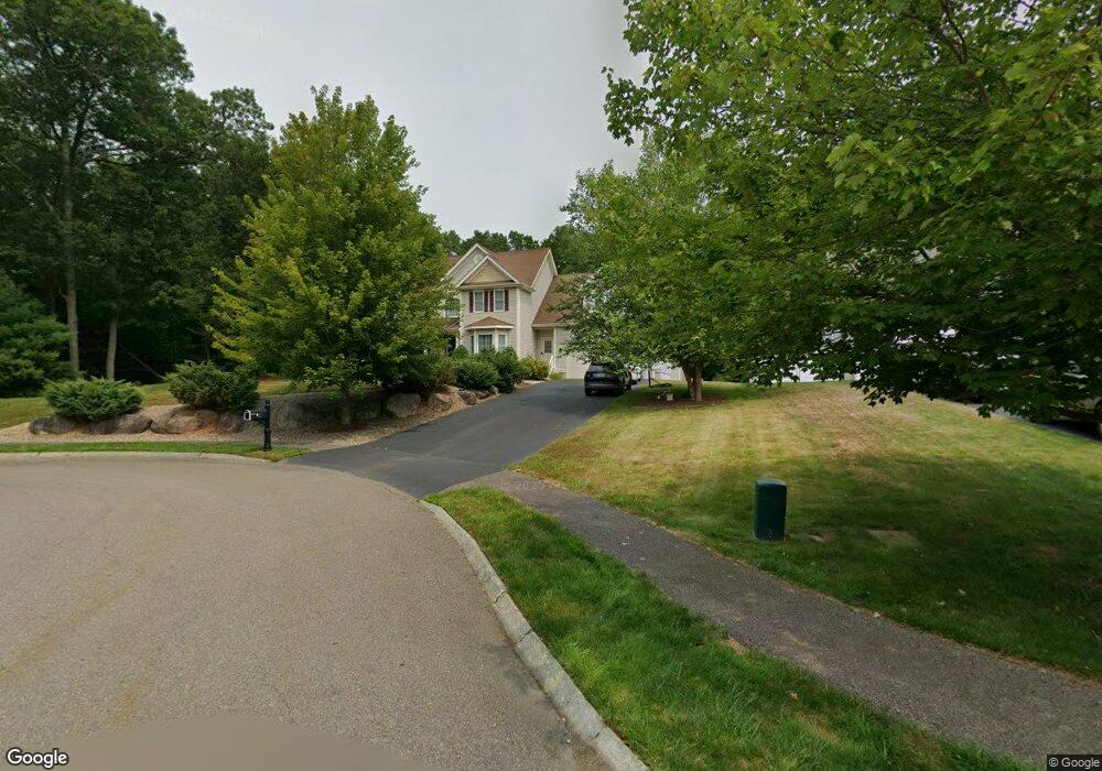
15 Pratt Dr Norton, MA 02766
Estimated Value: $922,000 - $996,000
4
Beds
3
Baths
2,600
Sq Ft
$367/Sq Ft
Est. Value
About This Home
This home is located at 15 Pratt Dr, Norton, MA 02766 and is currently estimated at $954,068, approximately $366 per square foot. 15 Pratt Dr is a home located in Bristol County with nearby schools including J.C. Solmonese Elementary School, Henri A. Yelle Elementary School, and Norton Middle School.
Ownership History
Date
Name
Owned For
Owner Type
Purchase Details
Closed on
Feb 5, 2010
Sold by
River Oaks Reserve Llc
Bought by
Acker Fred F and Acker Julie H
Current Estimated Value
Home Financials for this Owner
Home Financials are based on the most recent Mortgage that was taken out on this home.
Original Mortgage
$417,000
Outstanding Balance
$276,260
Interest Rate
5.05%
Mortgage Type
Purchase Money Mortgage
Estimated Equity
$677,808
Create a Home Valuation Report for This Property
The Home Valuation Report is an in-depth analysis detailing your home's value as well as a comparison with similar homes in the area
Home Values in the Area
Average Home Value in this Area
Purchase History
| Date | Buyer | Sale Price | Title Company |
|---|---|---|---|
| Acker Fred F | $543,175 | -- |
Source: Public Records
Mortgage History
| Date | Status | Borrower | Loan Amount |
|---|---|---|---|
| Open | Acker Fred F | $417,000 |
Source: Public Records
Tax History Compared to Growth
Tax History
| Year | Tax Paid | Tax Assessment Tax Assessment Total Assessment is a certain percentage of the fair market value that is determined by local assessors to be the total taxable value of land and additions on the property. | Land | Improvement |
|---|---|---|---|---|
| 2025 | $110 | $847,600 | $200,100 | $647,500 |
| 2024 | $10,548 | $814,500 | $190,500 | $624,000 |
| 2023 | $10,074 | $775,500 | $179,700 | $595,800 |
| 2022 | $9,758 | $684,300 | $163,400 | $520,900 |
| 2021 | $9,548 | $639,500 | $155,600 | $483,900 |
| 2020 | $4,817 | $626,400 | $151,100 | $475,300 |
| 2019 | $4,627 | $620,900 | $158,500 | $462,400 |
| 2018 | $9,126 | $602,000 | $158,500 | $443,500 |
| 2017 | $4,252 | $606,000 | $171,700 | $434,300 |
| 2016 | $8,924 | $571,700 | $171,700 | $400,000 |
| 2015 | $8,317 | $540,400 | $168,400 | $372,000 |
| 2014 | $7,974 | $518,800 | $160,300 | $358,500 |
Source: Public Records
Map
Nearby Homes
- 27 Taylor Ct
- 3 Goff Rd
- 122 N Worcester St
- 97 N Worcester St
- 3 Village Way Unit B
- 2 Top Flight Dr Unit B
- 13 Village Way Unit B
- 16 Park Ln
- 13 Crowe Farm Ln
- 9 Larson Farm Dr
- 3 Brookwood Ln
- 378 Old Colony Rd
- 1037 Pleasant St
- 55 Sturdy St
- 11 Edgewater Dr
- 189 W Main St
- 37 Oakleaf Dr
- 933 Pleasant St
- 73 Godfrey Dr
- 98 S Worcester St