15 Preston Place North Easton, MA 02356
Estimated Value: $675,000 - $814,000
2
Beds
2
Baths
1,606
Sq Ft
$457/Sq Ft
Est. Value
About This Home
This home is located at 15 Preston Place, North Easton, MA 02356 and is currently estimated at $733,160, approximately $456 per square foot. 15 Preston Place is a home located in Bristol County with nearby schools including Easton Middle School and Oliver Ames High School.
Ownership History
Date
Name
Owned For
Owner Type
Purchase Details
Closed on
Dec 8, 2016
Sold by
Baroncelli Sheila M
Bought by
Baroncelli Ft
Current Estimated Value
Purchase Details
Closed on
Nov 12, 2004
Sold by
Fox Hill Rt and Mirrione
Bought by
Baroncelli Frederick L and Baroncelli Sheila M
Home Financials for this Owner
Home Financials are based on the most recent Mortgage that was taken out on this home.
Original Mortgage
$295,000
Interest Rate
5.75%
Mortgage Type
Purchase Money Mortgage
Create a Home Valuation Report for This Property
The Home Valuation Report is an in-depth analysis detailing your home's value as well as a comparison with similar homes in the area
Home Values in the Area
Average Home Value in this Area
Purchase History
| Date | Buyer | Sale Price | Title Company |
|---|---|---|---|
| Baroncelli Ft | -- | -- | |
| Baroncelli Ft | -- | -- | |
| Baroncelli Frederick L | $368,950 | -- | |
| Baroncelli Frederick L | $368,950 | -- |
Source: Public Records
Mortgage History
| Date | Status | Borrower | Loan Amount |
|---|---|---|---|
| Previous Owner | Baroncelli Frederick L | $295,000 |
Source: Public Records
Tax History Compared to Growth
Tax History
| Year | Tax Paid | Tax Assessment Tax Assessment Total Assessment is a certain percentage of the fair market value that is determined by local assessors to be the total taxable value of land and additions on the property. | Land | Improvement |
|---|---|---|---|---|
| 2025 | $7,946 | $636,700 | $363,000 | $273,700 |
| 2024 | $7,477 | $560,100 | $287,300 | $272,800 |
| 2023 | $7,212 | $494,300 | $279,600 | $214,700 |
| 2022 | $7,076 | $459,800 | $252,900 | $206,900 |
| 2021 | $6,966 | $450,000 | $243,100 | $206,900 |
| 2020 | $6,852 | $445,500 | $238,600 | $206,900 |
| 2019 | $6,416 | $402,000 | $210,700 | $191,300 |
| 2018 | $6,435 | $381,700 | $210,700 | $171,000 |
| 2017 | $6,125 | $377,600 | $210,700 | $166,900 |
| 2016 | $5,785 | $357,300 | $196,500 | $160,800 |
| 2015 | $5,856 | $349,000 | $192,200 | $156,800 |
| 2014 | $5,616 | $337,300 | $178,500 | $158,800 |
Source: Public Records
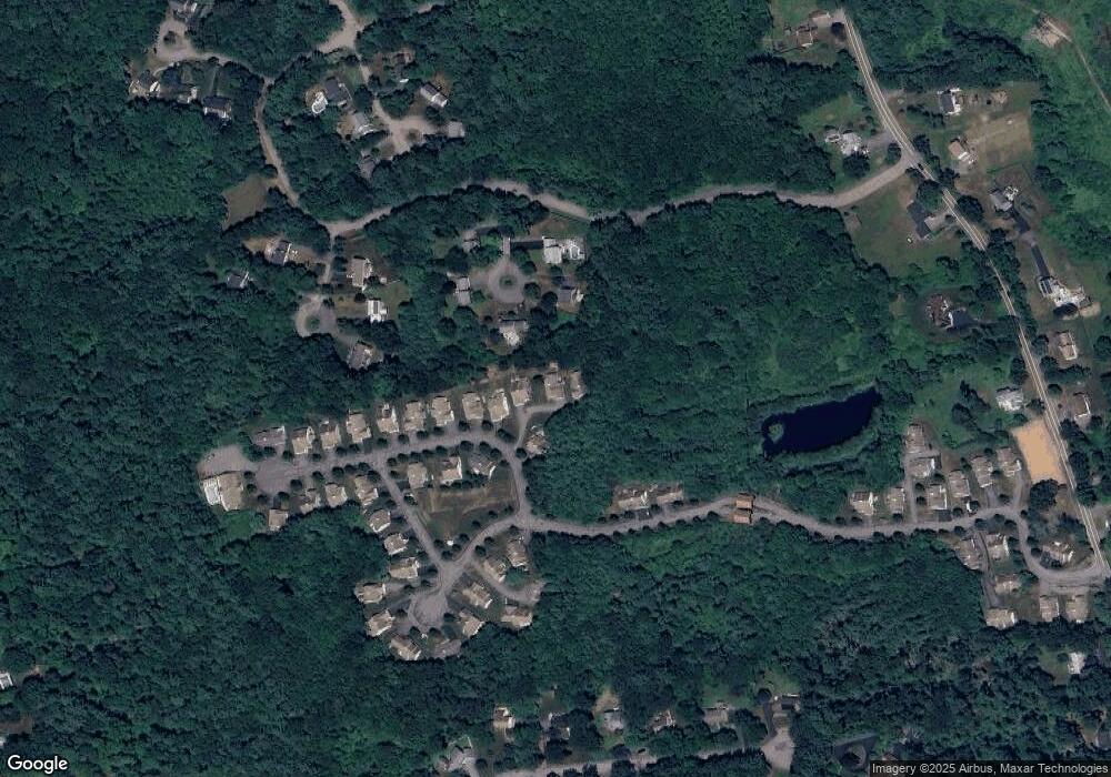
Map
Nearby Homes
- 264 Bay Rd
- 321 Bay Rd
- 66 Poquanticut Ave
- 32 Heritage Dr
- 30 King Arthur Rd
- 47 Guinevere Rd
- 114 Summer St
- 43 Matthew Cir
- 15 Randall Farm Dr
- 26 Gaslight Ln Unit 26
- 555 Foundry St Unit B
- 79 Summer St
- 531 Foundry St Unit D
- 531 Foundry St Unit C
- 531 Foundry St Unit E
- 531 Foundry St Unit A
- 9 Oak Ridge Dr
- 23 Cutter Dr
- 20 Coach Rd
- 24 Coach Rd
- 11 Preston Place
- 19 Preston Place
- 19 Preston Place Unit 19
- 7 Preston Place
- 7 Preston Place Unit 7
- 23 Preston Place
- 9 Juniper Ln
- 27 Preston Place
- 6 Juniper Ln
- 18 Preston Place
- 31 Preston Place
- 5 Juniper Ln
- 22 Preston Place
- 2 Juniper Ln
- 51 Dunbar Dr
- 35 Preston Place
- 17 Littlefield Ln
- 47 Dunbar Dr
- 1 Juniper Ln
- 44 Dunbar Dr