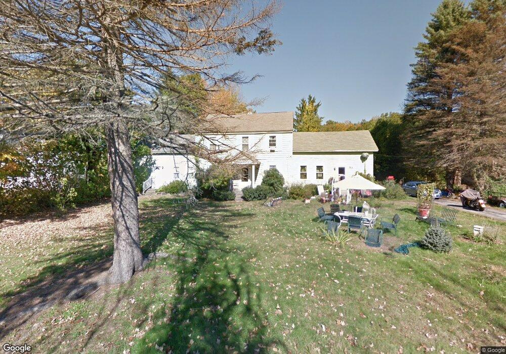
15 Reed St Unit 1 West Boylston, MA 01583
Estimated Value: $331,238 - $492,000
2
Beds
2
Baths
1,602
Sq Ft
$263/Sq Ft
Est. Value
About This Home
This home is located at 15 Reed St Unit 1, West Boylston, MA 01583 and is currently estimated at $422,060, approximately $263 per square foot. 15 Reed St Unit 1 is a home located in Worcester County with nearby schools including Major Edwards Elementary School and West Boylston Junior/Senior High School.
Ownership History
Date
Name
Owned For
Owner Type
Purchase Details
Closed on
Jul 26, 2006
Sold by
Borges Thomjon J
Bought by
Borges Lynda A and Borges Thomjon J
Current Estimated Value
Home Financials for this Owner
Home Financials are based on the most recent Mortgage that was taken out on this home.
Original Mortgage
$193,500
Outstanding Balance
$115,605
Interest Rate
6.67%
Mortgage Type
Purchase Money Mortgage
Estimated Equity
$306,455
Purchase Details
Closed on
Jul 12, 2006
Sold by
Borges Lynda A and Borges Thomjon J
Bought by
Borges Thomjon J
Home Financials for this Owner
Home Financials are based on the most recent Mortgage that was taken out on this home.
Original Mortgage
$193,500
Outstanding Balance
$115,605
Interest Rate
6.67%
Mortgage Type
Purchase Money Mortgage
Estimated Equity
$306,455
Create a Home Valuation Report for This Property
The Home Valuation Report is an in-depth analysis detailing your home's value as well as a comparison with similar homes in the area
Home Values in the Area
Average Home Value in this Area
Purchase History
| Date | Buyer | Sale Price | Title Company |
|---|---|---|---|
| Borges Lynda A | -- | -- | |
| Borges Thomjon J | -- | -- |
Source: Public Records
Mortgage History
| Date | Status | Borrower | Loan Amount |
|---|---|---|---|
| Open | Borges Lynda A | $193,500 |
Source: Public Records
Tax History Compared to Growth
Tax History
| Year | Tax Paid | Tax Assessment Tax Assessment Total Assessment is a certain percentage of the fair market value that is determined by local assessors to be the total taxable value of land and additions on the property. | Land | Improvement |
|---|---|---|---|---|
| 2025 | $33 | $241,200 | $0 | $241,200 |
| 2024 | $3,315 | $224,300 | $0 | $224,300 |
| 2023 | $3,180 | $204,100 | $0 | $204,100 |
| 2022 | $3,098 | $175,200 | $0 | $175,200 |
| 2021 | $3,195 | $173,100 | $0 | $173,100 |
| 2020 | $2,579 | $138,800 | $0 | $138,800 |
| 2019 | $2,569 | $136,300 | $0 | $136,300 |
| 2018 | $2,445 | $130,600 | $0 | $130,600 |
| 2017 | $2,455 | $130,600 | $0 | $130,600 |
| 2016 | $2,491 | $135,000 | $0 | $135,000 |
| 2015 | $2,476 | $135,000 | $0 | $135,000 |
Source: Public Records
Map
Nearby Homes
- 16 N Main St
- 20 Winthrop St
- 136 Sterling St Unit A3
- 287 Laurel St
- 0 Boutelle Rd
- 2 Lakeview Ave
- 18 Laurel Ave
- 61 Boutelle Rd
- 21 Myrtle Ave
- 223 Worcester Rd
- 0 North St
- 156 Prospect St
- Lot 1 Manning St
- 4 Jewett Rd Unit B
- 4 Jewett Rd Unit A
- 152 Worcester St Unit 8
- 54 Maple St
- 62 Maple St
- 15 N Cove Rd
- 43 Chace Hill Rd