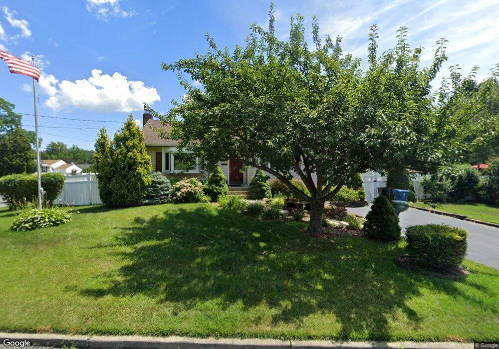
15 Region Dr Hazlet, NJ 07730
Estimated Value: $484,000 - $621,000
3
Beds
2
Baths
1,708
Sq Ft
$337/Sq Ft
Est. Value
About This Home
This home is located at 15 Region Dr, Hazlet, NJ 07730 and is currently estimated at $575,508, approximately $336 per square foot. 15 Region Dr is a home located in Monmouth County with nearby schools including Raritan High School, Baytul-Iman Academy, and St. Ann School.
Ownership History
Date
Name
Owned For
Owner Type
Purchase Details
Closed on
Apr 15, 2025
Sold by
Nadramia Thomas J and Nadramia Virginia E
Bought by
Wentzel Diane
Current Estimated Value
Purchase Details
Closed on
Jul 15, 1981
Bought by
Nadramia Thomas J and Nadramia Virginia E
Create a Home Valuation Report for This Property
The Home Valuation Report is an in-depth analysis detailing your home's value as well as a comparison with similar homes in the area
Home Values in the Area
Average Home Value in this Area
Purchase History
| Date | Buyer | Sale Price | Title Company |
|---|---|---|---|
| Wentzel Diane | -- | None Listed On Document | |
| Wentzel Diane | -- | None Listed On Document | |
| Nadramia Thomas J | $76,500 | -- |
Source: Public Records
Tax History Compared to Growth
Tax History
| Year | Tax Paid | Tax Assessment Tax Assessment Total Assessment is a certain percentage of the fair market value that is determined by local assessors to be the total taxable value of land and additions on the property. | Land | Improvement |
|---|---|---|---|---|
| 2025 | $9,987 | $527,600 | $359,400 | $168,200 |
| 2024 | $9,732 | $474,900 | $307,400 | $167,500 |
| 2023 | $9,732 | $455,400 | $289,400 | $166,000 |
| 2022 | $9,029 | $387,000 | $242,400 | $144,600 |
| 2021 | $9,029 | $352,000 | $223,400 | $128,600 |
| 2020 | $8,885 | $344,100 | $218,400 | $125,700 |
| 2019 | $8,614 | $328,400 | $203,400 | $125,000 |
| 2018 | $8,401 | $317,600 | $198,400 | $119,200 |
| 2017 | $7,935 | $300,000 | $184,400 | $115,600 |
| 2016 | $7,829 | $297,100 | $184,400 | $112,700 |
| 2015 | $7,598 | $289,100 | $179,400 | $109,700 |
| 2014 | $7,238 | $258,300 | $143,400 | $114,900 |
Source: Public Records
Map
Nearby Homes
- 3 Lisa Dr
- 9 Borick Ave
- 27 Gibson Dr
- 484 S Laurel Ave
- 8 Leocadia Ct
- 6 Ridge Dr
- 17 Gary Ave
- 19 Woody Terrace
- 26 Gary Ave Unit 59
- 16 Gary Ave Unit 49
- 10 Robin
- 37 Randall Ave Unit 70
- 35 Randall Ave Unit 68
- 37 Randall Ave
- 46 Randall Ave
- 1 Robin Rd
- 30 Randall Ave Unit 63
- 32 Randall Ave Unit 65
- 34 Randall Ave Unit 67
- 5 Justin Ct Unit 96