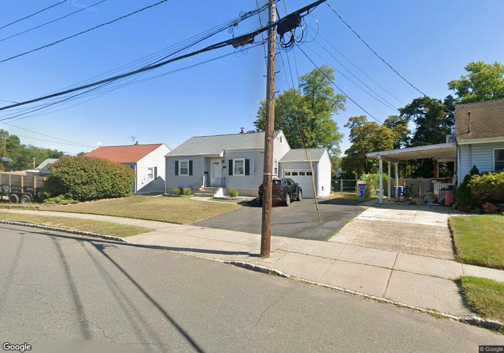
15 Reid St South Bound Brook, NJ 08880
Estimated Value: $366,991 - $427,000
--
Bed
--
Bath
742
Sq Ft
$538/Sq Ft
Est. Value
About This Home
This home is located at 15 Reid St, South Bound Brook, NJ 08880 and is currently estimated at $399,498, approximately $538 per square foot. 15 Reid St is a home located in Somerset County with nearby schools including Robert Morris School, Rutgers Preparatory School, and Green Brook Academy.
Ownership History
Date
Name
Owned For
Owner Type
Purchase Details
Closed on
Dec 14, 2017
Sold by
Lerner Joel and Gebel Louis
Bought by
Forke Keegan D
Current Estimated Value
Home Financials for this Owner
Home Financials are based on the most recent Mortgage that was taken out on this home.
Original Mortgage
$164,000
Outstanding Balance
$115,133
Interest Rate
3.94%
Mortgage Type
New Conventional
Estimated Equity
$284,365
Purchase Details
Closed on
Aug 16, 2017
Sold by
Hussey Alence L
Bought by
Lerher Joel and Gabel Louis
Purchase Details
Closed on
May 19, 2000
Sold by
Run Pike
Bought by
Gan Xiaodong and Baozhen Lin
Home Financials for this Owner
Home Financials are based on the most recent Mortgage that was taken out on this home.
Original Mortgage
$256,700
Interest Rate
8.14%
Mortgage Type
Purchase Money Mortgage
Create a Home Valuation Report for This Property
The Home Valuation Report is an in-depth analysis detailing your home's value as well as a comparison with similar homes in the area
Home Values in the Area
Average Home Value in this Area
Purchase History
| Date | Buyer | Sale Price | Title Company |
|---|---|---|---|
| Forke Keegan D | $205,000 | Allied Title Llc | |
| Lerher Joel | $120,000 | Fidelity National Title | |
| Gan Xiaodong | $320,899 | -- |
Source: Public Records
Mortgage History
| Date | Status | Borrower | Loan Amount |
|---|---|---|---|
| Open | Forke Keegan D | $164,000 | |
| Previous Owner | Gan Xiaodong | $256,700 |
Source: Public Records
Tax History Compared to Growth
Tax History
| Year | Tax Paid | Tax Assessment Tax Assessment Total Assessment is a certain percentage of the fair market value that is determined by local assessors to be the total taxable value of land and additions on the property. | Land | Improvement |
|---|---|---|---|---|
| 2025 | $7,808 | $204,300 | $127,000 | $77,300 |
| 2024 | $7,808 | $204,300 | $127,000 | $77,300 |
| 2023 | $7,735 | $204,300 | $127,000 | $77,300 |
| 2022 | $7,228 | $204,300 | $127,000 | $77,300 |
| 2021 | $7,124 | $204,300 | $127,000 | $77,300 |
| 2020 | $6,777 | $204,300 | $127,000 | $77,300 |
| 2019 | $6,952 | $204,300 | $127,000 | $77,300 |
| 2018 | $6,914 | $204,300 | $127,000 | $77,300 |
| 2017 | $6,889 | $204,300 | $127,000 | $77,300 |
| 2016 | $6,734 | $204,300 | $127,000 | $77,300 |
| 2015 | $6,306 | $204,300 | $127,000 | $77,300 |
| 2014 | $6,149 | $204,300 | $127,000 | $77,300 |
Source: Public Records
Map
Nearby Homes
- 8 Von Steuben Ln
- 3 Edgewood Terrace
- 285 Maple Ave
- 71 Remsen St
- 10 Maplehurst Ln
- 15 Maplehurst Ln
- 123 Elizabeth St
- 535 Madison Ave
- 20 Patriots Path
- 231 Beck Ave
- 165 Prospect St
- 206 Bathgate Ave
- 63 Crestwood St
- 208 Sanders Ave
- 112 East St
- 68 Owen Ct
- 2 Drake St
- 34 van Keuren Ave Unit 38
- 230 Oak Dr
- 112-114 E Union Ave