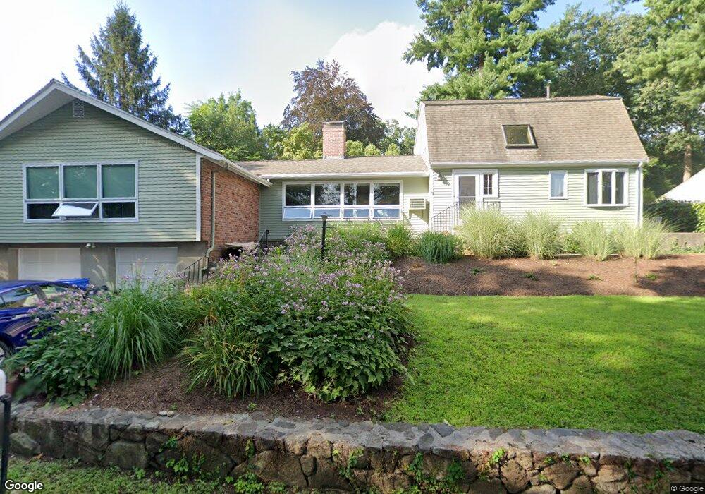
15 Riverside Dr Waltham, MA 02453
Angleside NeighborhoodEstimated Value: $967,000 - $1,326,268
4
Beds
3
Baths
2,130
Sq Ft
$529/Sq Ft
Est. Value
About This Home
This home is located at 15 Riverside Dr, Waltham, MA 02453 and is currently estimated at $1,127,817, approximately $529 per square foot. 15 Riverside Dr is a home located in Middlesex County with nearby schools including William F. Stanley Elementary School, John W. Mcdevitt Middle School, and Waltham Sr High School.
Ownership History
Date
Name
Owned For
Owner Type
Purchase Details
Closed on
Jul 19, 2013
Sold by
Green Bruce
Bought by
Barrer Betty
Current Estimated Value
Home Financials for this Owner
Home Financials are based on the most recent Mortgage that was taken out on this home.
Original Mortgage
$260,000
Outstanding Balance
$181,499
Interest Rate
3%
Mortgage Type
New Conventional
Estimated Equity
$946,318
Purchase Details
Closed on
Sep 25, 2009
Sold by
Sarmanian Arnold
Bought by
Barrer Betty
Home Financials for this Owner
Home Financials are based on the most recent Mortgage that was taken out on this home.
Original Mortgage
$260,000
Interest Rate
5.31%
Mortgage Type
Purchase Money Mortgage
Create a Home Valuation Report for This Property
The Home Valuation Report is an in-depth analysis detailing your home's value as well as a comparison with similar homes in the area
Home Values in the Area
Average Home Value in this Area
Purchase History
| Date | Buyer | Sale Price | Title Company |
|---|---|---|---|
| Barrer Betty | $318,000 | -- | |
| Barrer Betty | $318,000 | -- | |
| Barrer Betty | $520,000 | -- |
Source: Public Records
Mortgage History
| Date | Status | Borrower | Loan Amount |
|---|---|---|---|
| Open | Barrer Betty | $260,000 | |
| Closed | Barrer Betty | $260,000 | |
| Previous Owner | Barrer Betty | $260,000 |
Source: Public Records
Tax History Compared to Growth
Tax History
| Year | Tax Paid | Tax Assessment Tax Assessment Total Assessment is a certain percentage of the fair market value that is determined by local assessors to be the total taxable value of land and additions on the property. | Land | Improvement |
|---|---|---|---|---|
| 2025 | $10,281 | $1,046,900 | $545,000 | $501,900 |
| 2024 | $9,925 | $1,029,600 | $534,900 | $494,700 |
| 2023 | $9,759 | $945,600 | $484,400 | $461,200 |
| 2022 | $9,842 | $883,500 | $444,100 | $439,400 |
| 2021 | $9,754 | $861,700 | $444,100 | $417,600 |
| 2020 | $9,544 | $798,700 | $413,800 | $384,900 |
| 2019 | $8,985 | $709,700 | $390,200 | $319,500 |
| 2018 | $9,515 | $648,200 | $361,300 | $286,900 |
| 2017 | $7,736 | $615,900 | $329,000 | $286,900 |
| 2016 | $7,465 | $609,900 | $323,000 | $286,900 |
| 2015 | $7,160 | $545,300 | $282,600 | $262,700 |
Source: Public Records
Map
Nearby Homes
- 707 South St
- 49 Staniford St
- 74 Rumford Ave
- 2202 Commonwealth Ave Unit 2
- 2202 Commonwealth Ave Unit 1
- 101-103 Lexington St
- 217 Summer St
- 283 Melrose St
- 13 Robbins St Unit 1
- 73 Orange St Unit 2
- 11 Derby St
- 265-267 River St Unit 267
- 265-267 River St Unit 265
- 62-64 Rowe St Unit B
- 226 Auburn St Unit 226
- 224 Auburn St Unit 224
- 224 Auburn St Unit A
- 31-37 Washington Ave
- 17 Lasell St
- 17 Crescent St
- 25 Riverside Dr
- 7 Riverside Dr
- 88 Edgewater Dr
- 12 Riverside Dr
- 35 Riverside Dr
- 26 Riverside Dr
- 2 Riverside Dr
- 79 Edgewater Dr
- 36 Riverside Dr
- 91 Edgewater Dr
- 71 Edgewater Dr
- 70 Knollwood Dr
- 60 Knollwood Dr
- 44 Riverside Dr
- 65 Edgewater Dr
- 54 Knollwood Dr
- 105 Edgewater Dr
- 75 Knollwood Dr
- 67 Knollwood Dr
- 59 Knollwood Dr