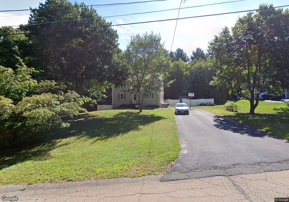
15 Robert Topham Dr Wrentham, MA 02093
Estimated Value: $673,702 - $795,000
4
Beds
3
Baths
1,944
Sq Ft
$387/Sq Ft
Est. Value
About This Home
This home is located at 15 Robert Topham Dr, Wrentham, MA 02093 and is currently estimated at $753,176, approximately $387 per square foot. 15 Robert Topham Dr is a home located in Norfolk County with nearby schools including Delaney Elementary School and Charles E Roderick.
Ownership History
Date
Name
Owned For
Owner Type
Purchase Details
Closed on
Jul 2, 2001
Sold by
Page Daniel and Page Marilyn L
Bought by
Holster Scott P and Holster Kimberly E
Current Estimated Value
Home Financials for this Owner
Home Financials are based on the most recent Mortgage that was taken out on this home.
Original Mortgage
$244,000
Outstanding Balance
$94,031
Interest Rate
7.14%
Mortgage Type
Purchase Money Mortgage
Estimated Equity
$659,145
Create a Home Valuation Report for This Property
The Home Valuation Report is an in-depth analysis detailing your home's value as well as a comparison with similar homes in the area
Home Values in the Area
Average Home Value in this Area
Purchase History
| Date | Buyer | Sale Price | Title Company |
|---|---|---|---|
| Holster Scott P | $305,000 | -- |
Source: Public Records
Mortgage History
| Date | Status | Borrower | Loan Amount |
|---|---|---|---|
| Open | Holster Scott P | $244,000 | |
| Previous Owner | Holster Scott P | $60,000 | |
| Previous Owner | Holster Scott P | $55,000 |
Source: Public Records
Tax History Compared to Growth
Tax History
| Year | Tax Paid | Tax Assessment Tax Assessment Total Assessment is a certain percentage of the fair market value that is determined by local assessors to be the total taxable value of land and additions on the property. | Land | Improvement |
|---|---|---|---|---|
| 2025 | $6,777 | $584,700 | $289,100 | $295,600 |
| 2024 | $6,630 | $552,500 | $289,100 | $263,400 |
| 2023 | $6,302 | $499,400 | $262,900 | $236,500 |
| 2022 | $6,087 | $445,300 | $245,300 | $200,000 |
| 2021 | $5,605 | $398,400 | $214,100 | $184,300 |
| 2020 | $5,642 | $395,900 | $190,400 | $205,500 |
| 2019 | $5,525 | $391,300 | $190,400 | $200,900 |
| 2018 | $5,351 | $375,800 | $190,600 | $185,200 |
| 2017 | $5,056 | $354,800 | $186,900 | $167,900 |
| 2016 | $4,945 | $346,300 | $181,500 | $164,800 |
| 2015 | $4,785 | $319,400 | $174,500 | $144,900 |
| 2014 | $4,732 | $309,100 | $167,800 | $141,300 |
Source: Public Records
Map
Nearby Homes
- 131 Creek St Unit 7
- 11 Earle Stewart Ln
- Lot 3 - 14 Earle Stewart Ln
- Lot 1 - Blueberry 2 Car Plan at King Philip Estates
- Lot 8 - Blueberry 2 Car Plan at King Philip Estates
- Lot 5 - Hughes 2 car Plan at King Philip Estates
- Lot 6 - Blueberry 3 Car Plan at King Philip Estates
- Lot 2 - Camden 2 Car Plan at King Philip Estates
- Lot 7 - Cedar Plan at King Philip Estates
- Lot 4 - Hemingway 2 Car Plan at King Philip Estates
- Lot 3 - Blueberry 2 Car Plan at King Philip Estates
- 10 Nature View Dr
- 15 Nature View Dr
- 319 Taunton St
- 570 Franklin St
- 791 South St Unit 5
- 270 Dedham St
- 1 Lorraine Metcalf Dr
- 362 East St
- 50 Reed Fulton Ave Unit Lot 61
- 25 Robert Topham Dr
- 5 Robert Topham Dr
- 10 Robert Topham Dr
- 10 Roberttopham Dr
- 35 Robert Topham Jr Dr
- 35 Robert Topham Dr
- 20 Robert Topham Dr
- 110 Creek St
- 30 Robert Topham Dr
- 45 Creek St
- 45 Robert Topham Dr
- 10 Deer Run Rd
- 40 Robert Topham Dr
- 120 Creek St
- 135 Creek St Unit 4
- 135 Creek St Unit 3
- 135 Creek St Unit 2
- 135 Creek St Unit 1
- 133 Creek St Unit 10
- 133 Creek St Unit 9