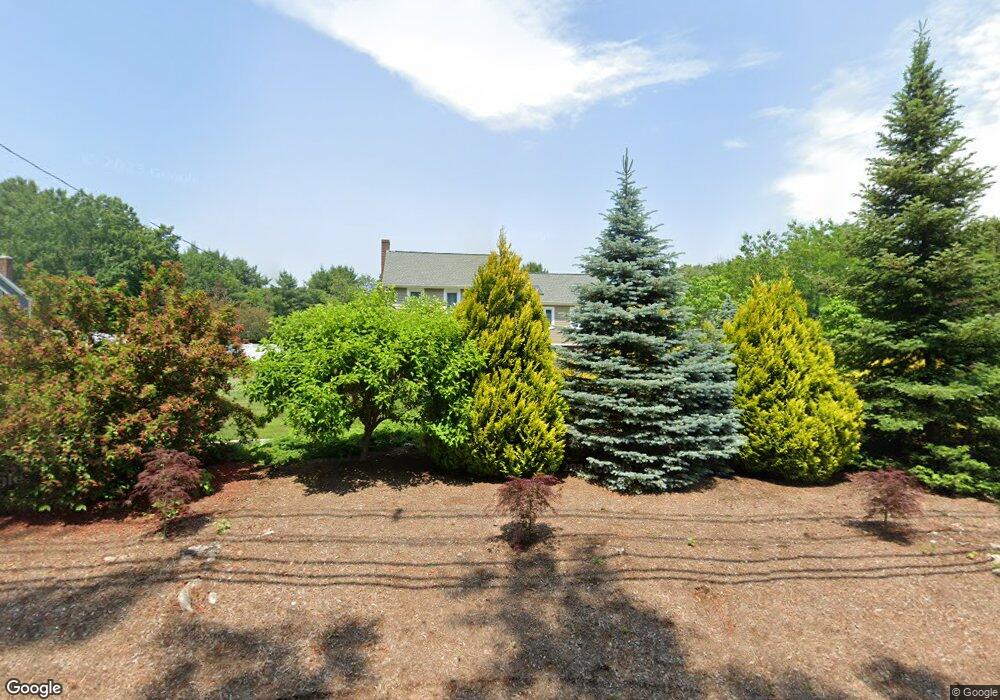
15 Rockland St North Easton, MA 02356
Estimated Value: $705,000 - $821,000
4
Beds
3
Baths
1,878
Sq Ft
$401/Sq Ft
Est. Value
About This Home
This home is located at 15 Rockland St, North Easton, MA 02356 and is currently estimated at $752,284, approximately $400 per square foot. 15 Rockland St is a home located in Bristol County with nearby schools including Easton Middle School and Oliver Ames High School.
Ownership History
Date
Name
Owned For
Owner Type
Purchase Details
Closed on
Oct 28, 2008
Sold by
Deutsche Bank Natl T C
Bought by
Pelczar Jan and Pelczar Dorota
Current Estimated Value
Home Financials for this Owner
Home Financials are based on the most recent Mortgage that was taken out on this home.
Original Mortgage
$322,923
Interest Rate
5.94%
Mortgage Type
Purchase Money Mortgage
Purchase Details
Closed on
Oct 19, 2007
Sold by
Bailey-Rink Carol Ann and Deutsche Bank Natl T C
Bought by
Deutsche Bank Natl T C
Create a Home Valuation Report for This Property
The Home Valuation Report is an in-depth analysis detailing your home's value as well as a comparison with similar homes in the area
Home Values in the Area
Average Home Value in this Area
Purchase History
| Date | Buyer | Sale Price | Title Company |
|---|---|---|---|
| Pelczar Jan | $350,000 | -- | |
| Pelczar Jan | $350,000 | -- | |
| Deutsche Bank Natl T C | $358,000 | -- | |
| Deutsche Bank Natl T C | $358,000 | -- |
Source: Public Records
Mortgage History
| Date | Status | Borrower | Loan Amount |
|---|---|---|---|
| Open | Deutsche Bank Natl T C | $323,110 | |
| Closed | Deutsche Bank Natl T C | $325,956 | |
| Closed | Pelczar Jan | $322,923 |
Source: Public Records
Tax History Compared to Growth
Tax History
| Year | Tax Paid | Tax Assessment Tax Assessment Total Assessment is a certain percentage of the fair market value that is determined by local assessors to be the total taxable value of land and additions on the property. | Land | Improvement |
|---|---|---|---|---|
| 2025 | $7,748 | $620,800 | $365,200 | $255,600 |
| 2024 | $7,703 | $577,000 | $329,600 | $247,400 |
| 2023 | $7,809 | $535,200 | $329,600 | $205,600 |
| 2022 | $7,350 | $477,600 | $273,900 | $203,700 |
| 2021 | $7,146 | $461,600 | $257,900 | $203,700 |
| 2020 | $6,892 | $448,100 | $248,000 | $200,100 |
| 2019 | $7,112 | $445,600 | $248,000 | $197,600 |
| 2018 | $6,995 | $431,500 | $248,000 | $183,500 |
| 2017 | $6,739 | $415,500 | $248,000 | $167,500 |
| 2016 | $6,575 | $406,100 | $248,000 | $158,100 |
| 2015 | $6,143 | $366,100 | $206,000 | $160,100 |
| 2014 | $5,897 | $354,200 | $200,000 | $154,200 |
Source: Public Records
Map
Nearby Homes
- 25 Andrews Farm Rd
- 20 Quarry Ln
- 32 Heritage Dr
- 15 Randall Farm Dr
- 81 Rockland St
- 114 Summer St
- 45 Randall St
- 295 Lincoln St
- 89 Massapoag Ave
- 79 Summer St
- 9 Oak Ridge Dr
- 321 Bay Rd
- 66 Poquanticut Ave
- 16 Whittier Ln
- 98 Massapoag Ave
- 22 Pammys Path
- 33 Coughlin Rd
- 15 Victory Ln
- 120 Sheridan St
- 29 Owl Ridge Rd
- 19 Rockland St
- 11 Rockland St
- 1 Deborah Lee Ln
- 23 Rockland St
- 16 Rockland St
- 4 Deborah Lee Ln Unit 3
- 4 Deborah Lee Ln Unit 2
- 4 Deborah Lee Ln Unit 1
- 2 Deborah Lee Ln Unit 3
- 2 Deborah Lee Ln
- 2 Deborah Lee Ln Unit 1
- 4 Deborah Lee Ln Unit 1,4
- 2 Deborah Lee Ln Unit 2,2
- 2 Deborah Lee Ln
- 20 Rockland St
- 3-FEB Deborah Lee Ln
- 1 Kingsbrook Way
- 27 Rockland St
- 27 Rockland St Unit 1
- 3 Daniel Dr